Barnes County Park – June 18-21, 2015
For our June 2015 camping trip we decided to visit the northwest tip of the mitten. Our first stop was at Barnes Country Park on the east side of Grand Traverse Bay about 30 miles north of Traverse City. From here it was on to Petoskey State Park for 3 nights. Our final stop was Young State Park in Boyne City, Michigan.
Make sure to watch for the links at the bottom of each page to continue along with us to all our stops on this trip.
Camping at Barnes County Park
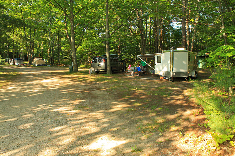
We headed up to Barnes County Park after work on Thursday. It was only about a 3 hour drive, which gave us plenty of time to get settled in to campsite #59 before it started getting dark. The park has 70 campsites in a nice wooded area. Most sites have power hookups, except for the 7 walk-in tent sites and a few others scattered around the campground.
There are only 10 campsites that can be reserved in advance, the rest are first come first serve. This was our first time staying here and we did not know what to expect so we made a reservation. When we arrived on the Thursday night, the campground was only about half full, but by Saturday night it was at capacity.
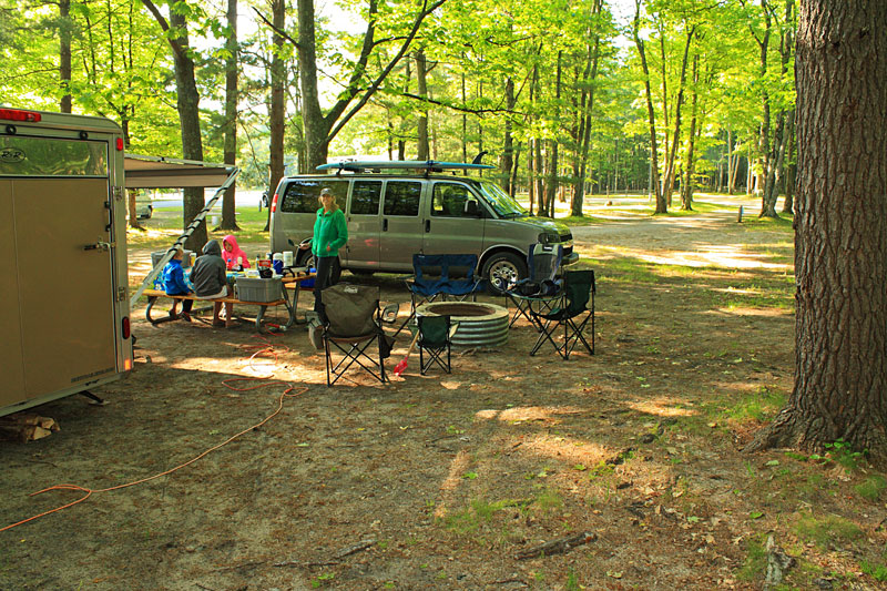
Our site was very large and could accommodate a rig at least twice the size of ours. It was back off the main road and well shaded. Really the only thing you could find wrong with this site was that it backed up to the outhouses. This really didn’t end up being too bad because they were well kept and only had minimal traffic during our stay.
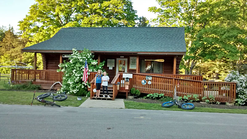
The campground office had firewood, ice and t-shirts for sale.
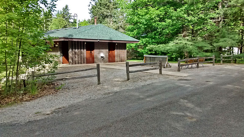
The campground is serviced by 2 bathhouses. They were both about a 500 foot walk from our site. The showers were coin operated, so remember to bring some spare change.
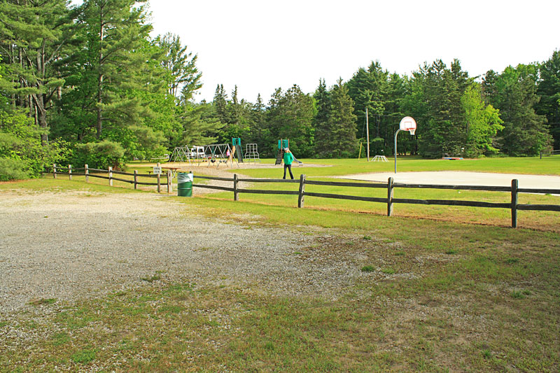
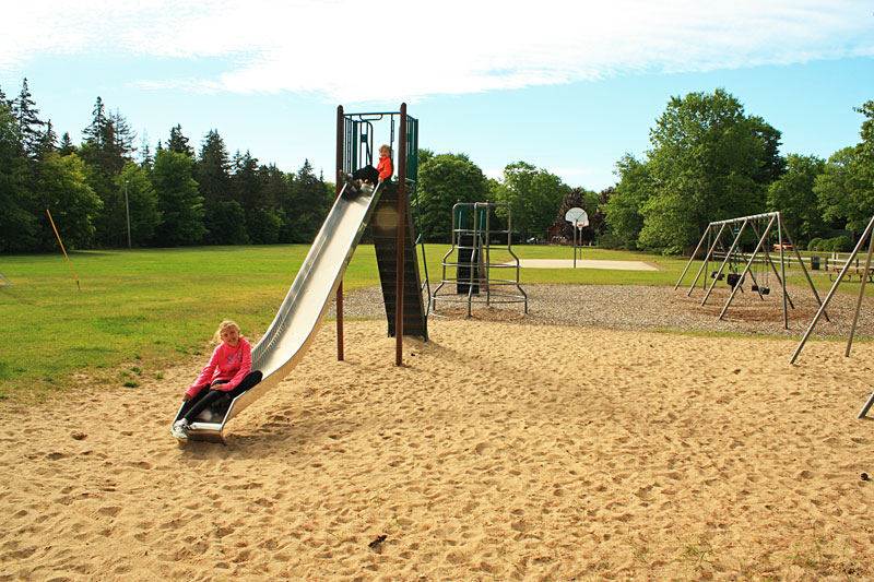
In the center of the main loop there is a nice big common space with a playground, basketball court and grass field.
The playground was close enough to our site that we could see the kids, but far enough away that didn’t too much noise.
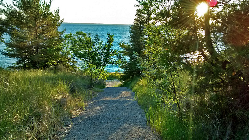
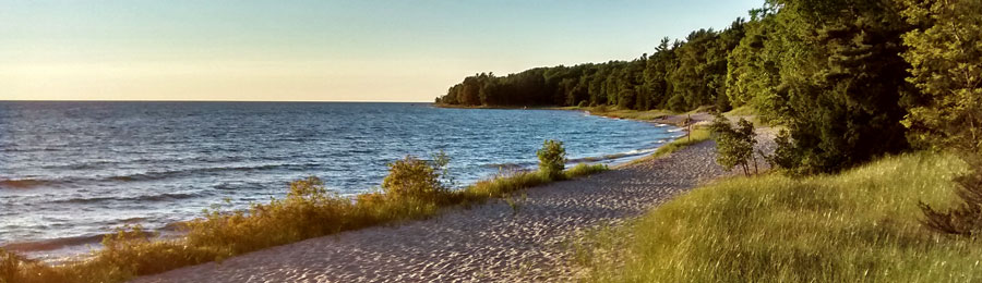
In the reserved campsite area there is a steep gravel trail leading down to the water.
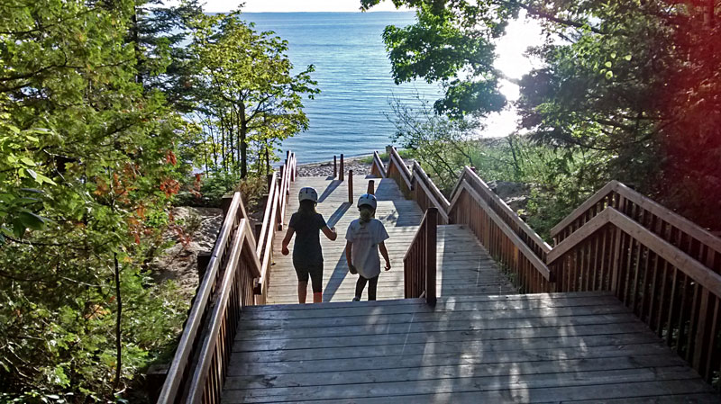
Near the north end of the loop there is a better beach access via the “grand stairway.”
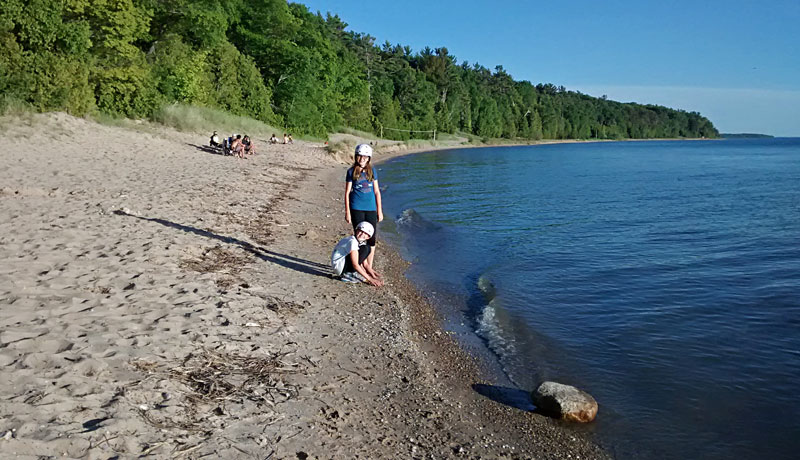
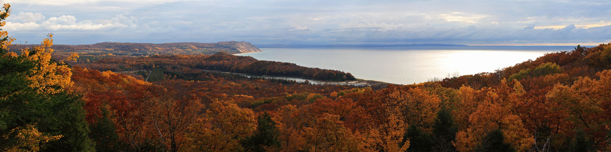
Looking south from the bottom of the big stairs. The Lake Michigan water levels were at record highs in 2015 and this made for a fairly narrow beach.
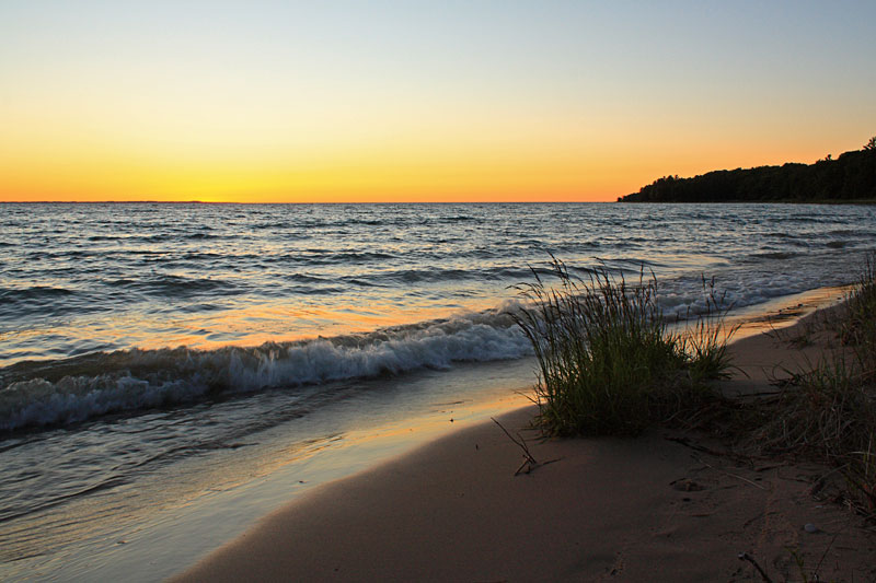
The sun setting over Grand Traverse Bay on our first night.

We would not have found this great campground if we had not read about it in: Michigan’s Best Campgrounds: A Guide to the Best 150 Public Campgrounds in the Great Lakes State
More Barnes County Park information at: http://www.antrimcounty.org/barnespark.asp
The Grass River Natural Area
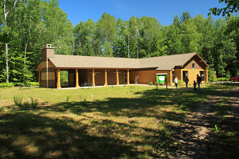
The next morning we took a drive over to the Grass River Natural Area. It is an easy 30 minute drive from Barnes County Park, if your GPS doesn’t take you down a dead end dirt road like ours did.
From the Grass River Natural Area Website: Grass River Natural Area is a special place and one of Michigan’s premier nature preserves. Founded in 1969, GRNA was established by the community for the community. Located along Antrim County’s Chain of Lakes, Grass River Natural Area’s wetlands act as a filter for millions of gallons of water flowing into East Grand Traverse Bay and Lake Michigan. Seven miles of trails and boardwalk take visitors through cedar swamp, sedge meadow, and upland forest. GRNA, Inc. is a 501(c)3 non-profit organization responsible for financing, preserving, and managing the Grass River for public use by the people of Antrim County and its visitors.
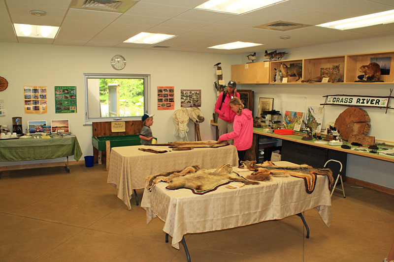
Our first stop was the visitor center. Inside there was a children’s story hour going on so we tried a quietly checkout the hands on displays and book store in the other half of the center. There were several animal mounts and other interesting displays that are worth seeing. Our kids favorite was the fake bear scat.
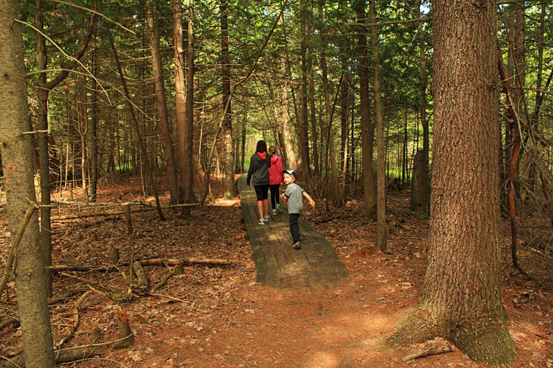
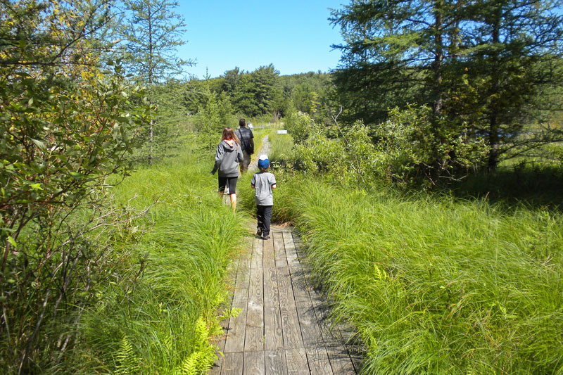
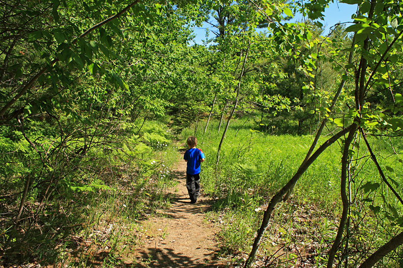
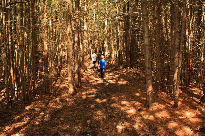
After everyone used the restrooms in the visitor center, we set off hiking clockwise on the Sedge Meadow Loop.
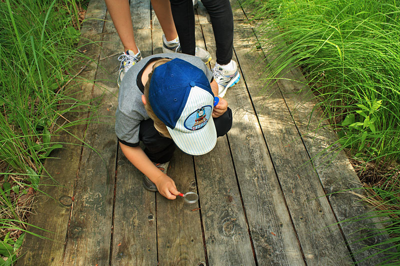
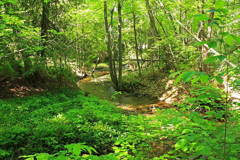
As we approached the first bridge over Finch Creek an otter swam away out of site.
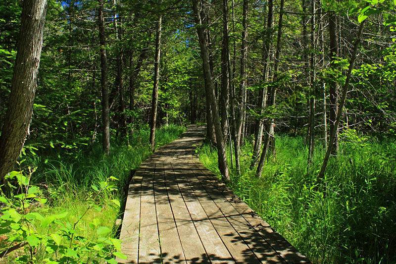
Almost all of the 0.75 mile Sedge Meadow Loop is on boardwalks.
About Sedge Meadows: As the name implies, sedge meadows are dominated by members of the sedge family, Cyperacae, particularly Carex spp. Sedges are grass-like plants that differ from the true grasses primarily in their reproductive structures and often, but not always, stems that are triangular in cross section. Sedge meadows most often have standing water during the spring and after heavy rains, but are often free of surface water mid to late summer. Soils run from muck to peat, but the peat is composed largely of partially decayed roots, stems and leaves and not mosses. Source: Lake and Wetland Ecosystems
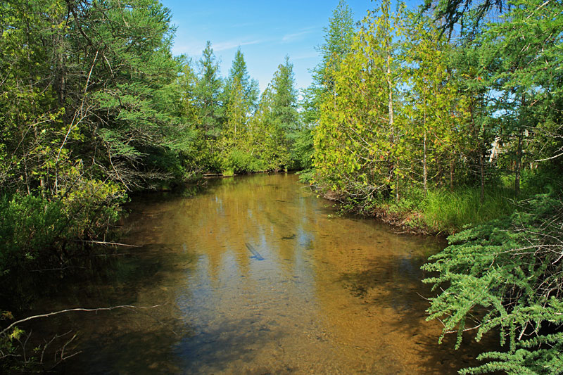
Just past the Finch Creek Crossing we took the 0.1 mile spur trail that leads out to the dock on the Grass River.
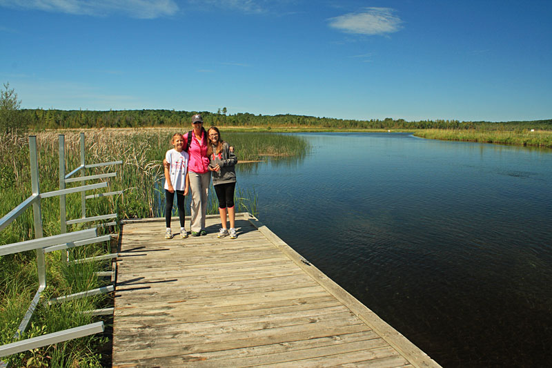
The Grass River.
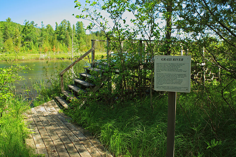
After backtracking from the dock to the main loop you soon come to the Grass River overlook platform.
From the sign by the overlook: The Grass River connects Lake Bellaire to the north with Clam Lake to the west.Lake Bellaire used to be called Grass Lake. In fact both the lake and river were named incorrectly because the predominate plant in the floating mats are sedge. So the “Grass” River actually flows through a “Sedge” Meadow.
The River has a slow current so it is less oxygenated than the faster flowing creeks that flow into it.Sediments make the water murky, or turbid, much of the year, which inhibits plant growth in the river itself. During the summer season the Grass River is heavily traveled by motorized watercraft. A no-wake law is enforced to prevent waves from damaging the sedge mats and the habitat it provides for birds and animals.
This is one of those unique hikes where you will want to slow down and take your time so you do not miss anything.
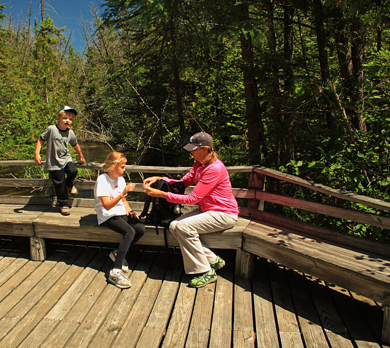
Taking a break on the last bridge over Finch Creek. On the second half of the loop we saw several interesting plants and also kicked up 2 deer along the trail.
The Sedge Meadow Loop with dock spur trail and parking lot access trail was just under 1.5 miles. I would plan on at least an hour so you have plenty of time to stop and appreciate everything that this natural area protects.
There are a total of 7 miles of trails to explore in Grass River Natural Area. By the time we finished the Sedge Meadow Loop it was noon and everyone was getting hungry, so we did not sample any of the other trails.
The Grass River Natural Area Trail Map. To download or print this map click here.

Website: www.grassriver.org
For more hiking in the Grass River Natural Area see: Hiking Michigan (State Hiking Guides Series)
See a few more photos on our Michigan Hikes page for the Sedge Meadow Loop.
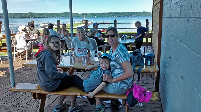
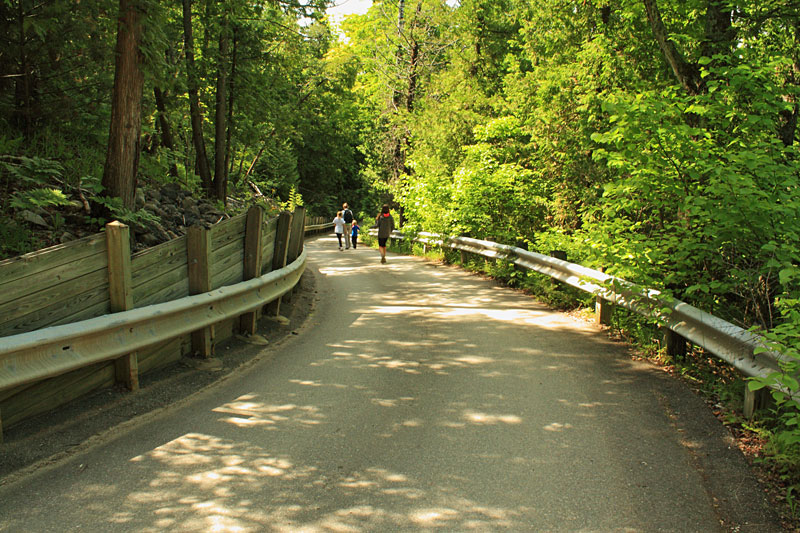
After the hike the plan was to head back to our campsite for lunch. As we crossed the bridge over the Clam Lake outlet we saw the bright blue awnings of the Dockside Restaurant. Since we were on vacation, we decided to turn in and check it out. We were lucky to get one of the last picnic tables out on the deck as the Friday afternoon party crowd was already getting started. It ended up being a nice unplanned stop. We had a good lunch and watched the boats pass through the channel between Torch and Clam Lakes.
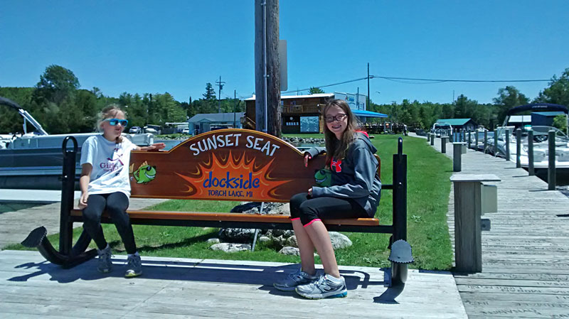
After lunch we walked out to the end of the dock to check out Torch Lake.
Here a short video from the Dockside Restaurant website.
Find more information at: docksidetorchlake.com
Glacial Hills Pathway Mountain Biking
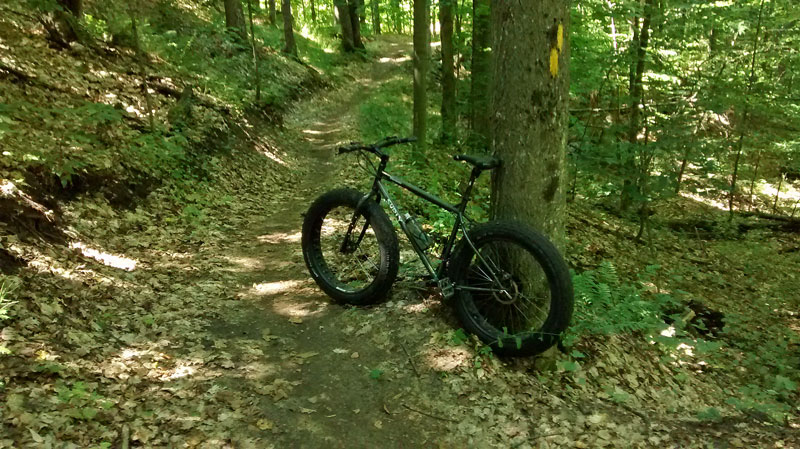
In the afternoon I drove over to Bellaire to ride the Glacial Hills Pathway while everyone else went to the beach. This was my second time riding here and it is becoming one of my favorite trail systems. They now have over 30 miles of mostly single track trails that are fast and flowing. My only minor complaint about this area is that there are so many interconnected loops that it is hard to know where to begin. I parked at the Orchard Hill Road trailhead and first tried to ride the outside of the East and West Trail regions in the clockwise direction. My GPS tracked this portion of the ride at just under 10 miles. After a short break I rode another 5 miles in the north section.
I set my GoPro camera to take images on the ride. Unfortunately with the speed of the trail and all the shade, most of them were blurry. The video above has the images I was able to save.
More information and maps for Glacial Hills Natural Aera: http://www.gtrlc.org/recreation-events/preserve/glacial-hills-pathway-and-natural-area/
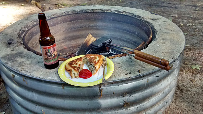
Back at the campsite it was a “Pure Michigan” dinner with homemade camp cooker pasties and some Short’s Brew.
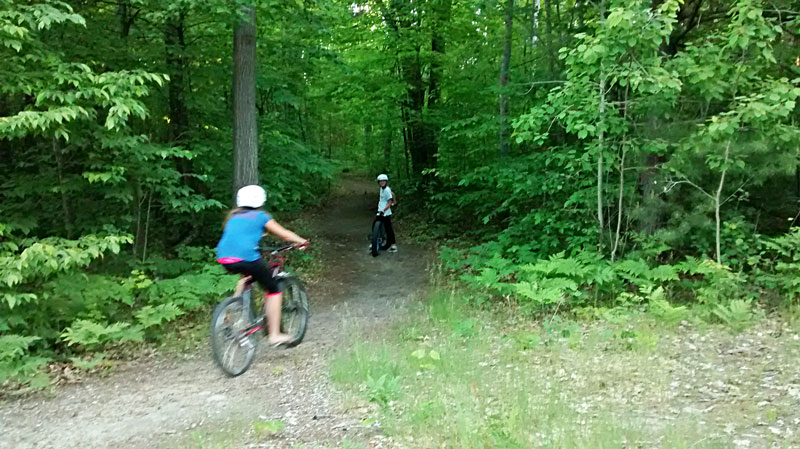
After dinner we rode bikes around the campground and explored some of the trails.
Barnes County Park has a nice little trail system that totals about 3 miles. Other than a few sandy spots they are flat and make for an easy evening walk or ride.
If the map doesn’t show above click here to download or print.
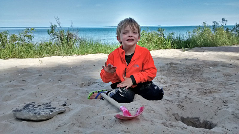
The next morning we took it easy while Reid did some digging and we had a second cup of coffee down at the beach.
Antrim Creek Natural Area
By mid morning drove to Antrim Creek Natural Area about 5 miles north of Barnes Park.
Antrim Creek Natural Area is a 156 acre preserve that is owned by the county and managed by The Grand Traverse Regional Land Conservancy. This may be the only place you will find a mile of undeveloped beach on Grand Traverse Bay.
We started our hike at the north entrance trailhead, because it was the first entrance that we came to on the drive in. We later found that most visitors use the south entrance and take the short walk along the creek down to the beach.
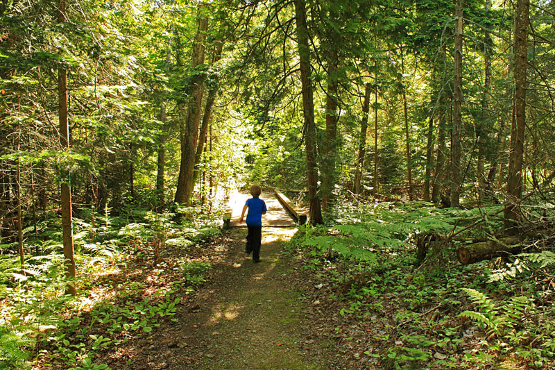
From the parking area we headed down the Nipissing (green) Trail. The trail runs just inland from the bay, but other than one overlook the water is not visible for most of the way. We found that the trails were well marked with colored posts.
After 0.4 miles the Nipissing Trail intersects the Creek Tail. We took a right and walked down to the beach.
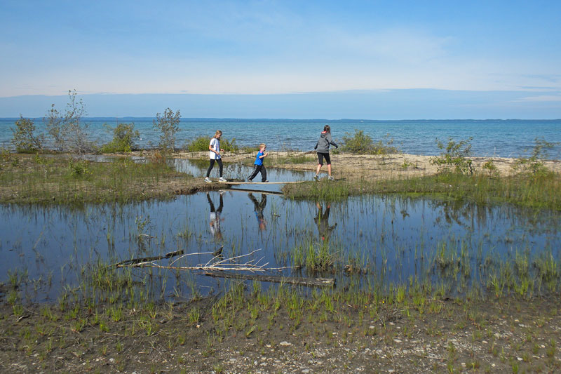
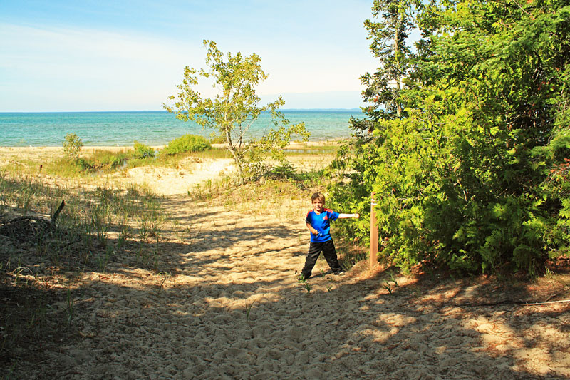
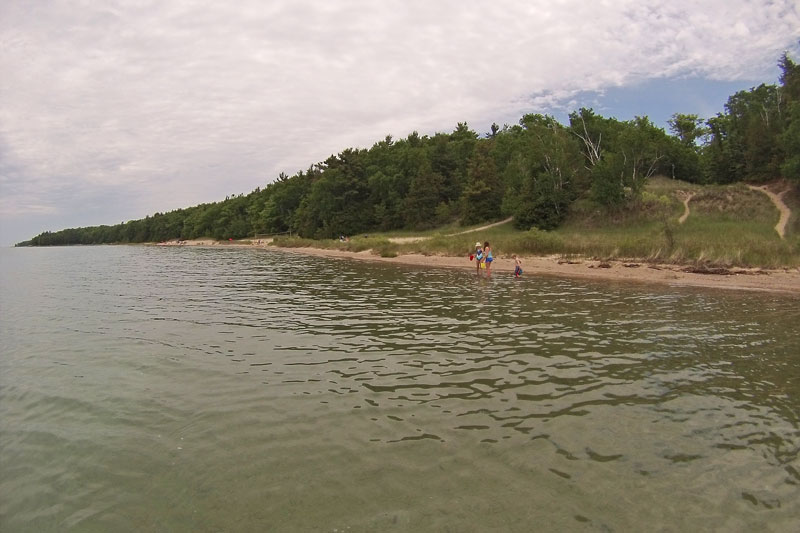
The beach here is a mixture of sand, mud and dune grass. The kids had a good time exploring the sandbars and ponds at the mouth of the creek.
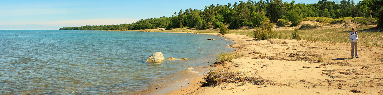
Looking north along the beach.
Antrim Creek.
After checking out the beach we backtracked on the first section of the Creek Trail and then continued on to the South Parking Area.
After using the pit toilets by the South Entrance we started heading back along the Trillium Ridge Trail. This trail follows the edge of a ridge with some nice views of the lower section that we hiked out on.
As the trail drops down of the ridge, it runs through an interesting section of thick cedar trees.
The trail ends on the North Entrance Road. From here it is just a short walk back down the road to complete the loop.
Contrary to what you would think, the higher Trillium Ridge Trail had a few muddy sections.
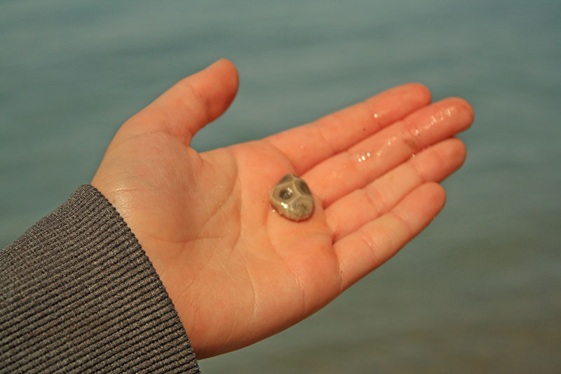
We walked down to the beach by the north parking area and Regan looked down found a Petoskey Stone right away.
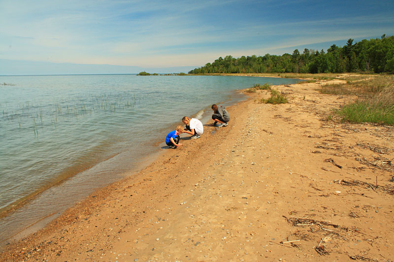
After this discovery the search was on. We found one other small stone and then it was time to head back to camp for lunch.
The hike was an easy 2 miles that took less than an hour of moving time to complete. Although, we spent 2 hours here exploring the beach at each end of the preserve. We thought Antrim Creek Natural Area was a nice little hike and worth checking out if you are in this area.
Directions to the Antrim Creek Natural Area north entrance >>
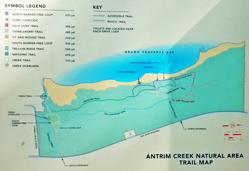
More on Antrim Creek Natural Area: MichiganTrailMaps.com
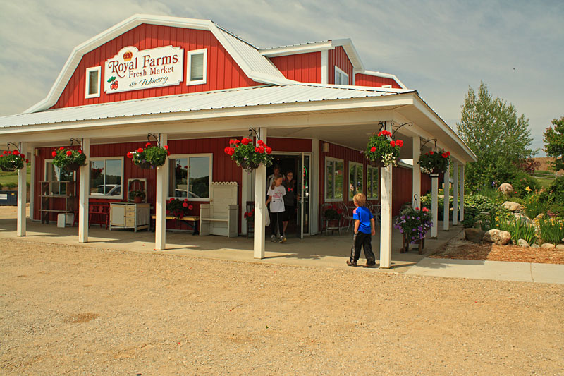
On the way back to Barnes Park we decided to pull into Royal Farms Fresh Market and Winery. They have a gift shop with a large selection of different cherry products and bakery featuring homemade pies, cookies and more. We left with a couple mini pies and big cookies to go with our late lunch.
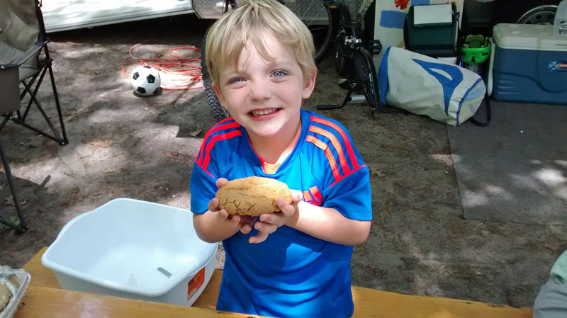
Reid showing off his peanut butter cookie from Royal Farms.
For more about Royal Farms see the video on their website >>
The forecast called for scattered showers in the afternoon, but when we finished eating lunch it was still warm and sunny. We decided to head down to the beach for the rest of the afternoon. However, about 15 minutes, the clouds moved in.
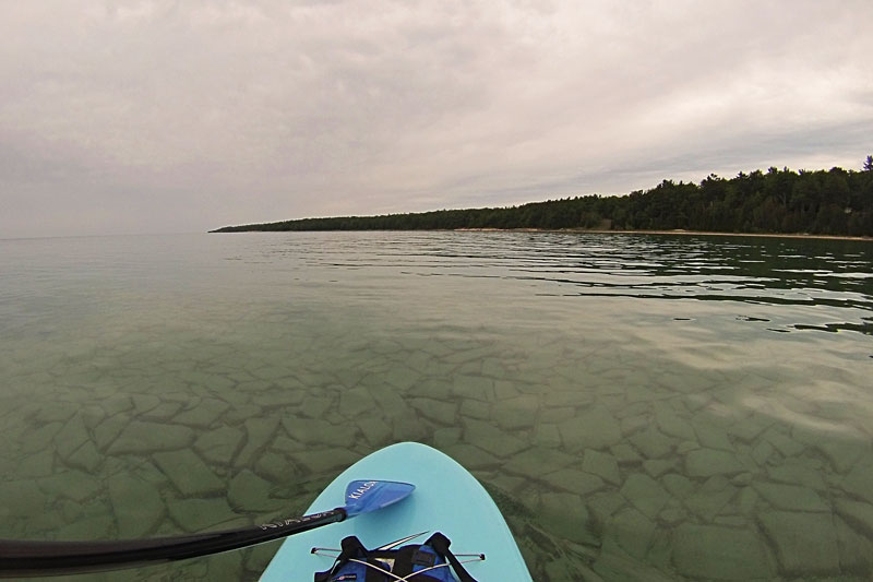
I headed out on the paddle board to explore the clear water of Grand Traverse Bay. I paddled south from Barnes Park. The bottom of the lake was an interesting mix of sand and different rock formations. I spent most of the time looking down at the calm water. When I did look up I noticed that the sky kept getting darker, so I decided to turn around and head back. This was the right call because just as I got back to the beach it started to sprinkle. This soon turned into a steady rain. We spent the rest of the afternoon reading in the camper.
Before leaving, we had one more important stop to make at Short’s Brewery in Bellaire. This Brewpub is our kind of place with good food, and really good beer you can only get in Michigan. If you are in the Grand Traverse Area make sure to take a drive up to Bellaire and check it out.
The next morning we took our time packing up because we only had a short drive up to our next stop at Petoskey State Park. We enjoyed our stay at Barnes County Park. It makes a good base camp for exploring the Torch Lake area if you are wiling to spend some time driving. Spending 3 nights seemed like about the right amount of time to cover most of the things we had on our list of things to do here.
Continue along with us to our next stop at Petoskey State Park >>
![]()
![]()
![]()
![]()
![]()

The prAna Zion Stretch are without a doubt the best shorts I have ever owned. I already have 3 colors and now that they started making them in black I will soon be up to 4. I originally bought them for hiking, but now I wear them for just about everything. Add a liner short and they become the perfect baggy mountain biking shorts. Need something to wear into town for dinner? No problem.
Find prAna Zion Stretch Shorts on Amazon >>
Advertising Disclosure: We may receive a commission if you click a link on our site and purchase one of the products or services that we recommend.
Leave a Reply