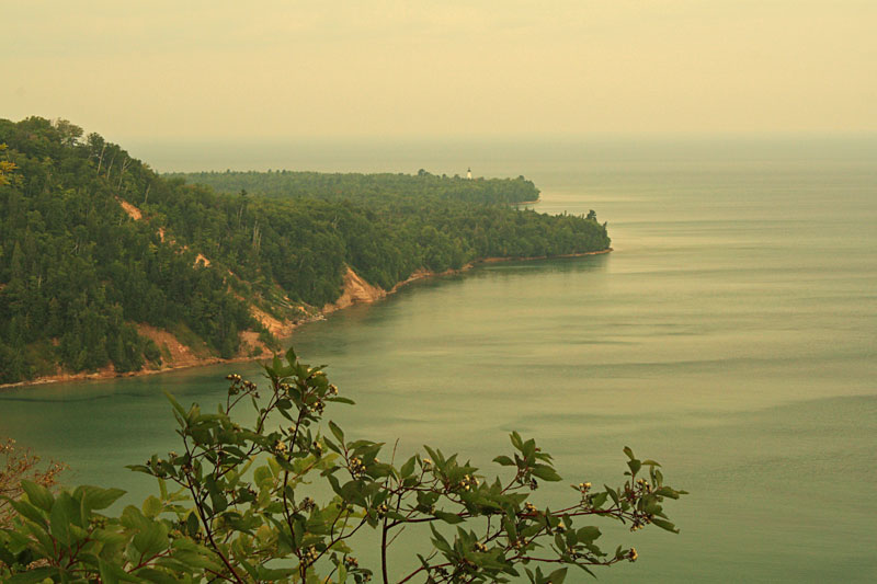
Camping at Woodland Park in Grand Marais, Michigan – August 15-20, 2016
We left the Munising Tourist Park fairly early on Monday so we could get to Grand Marais when the campground office opened. One of the problems with staying at the Woodland Park Campground is that they do not take reservations. We have never had a problem getting a site, but after seeing how busy Munising was we were anxious to get there and secure a site for the rest of the week. We also had heard from friends that they were turned away on Friday because the Grand Marais Music & Art Festival was going on. If you are planning to visit in mid-August make sure to check the events calendar on their website.
When we arrived we could still see the aftermath from the weekend festivities. We stopped in the office and we were relieved to find that there were several sites that were opening up.
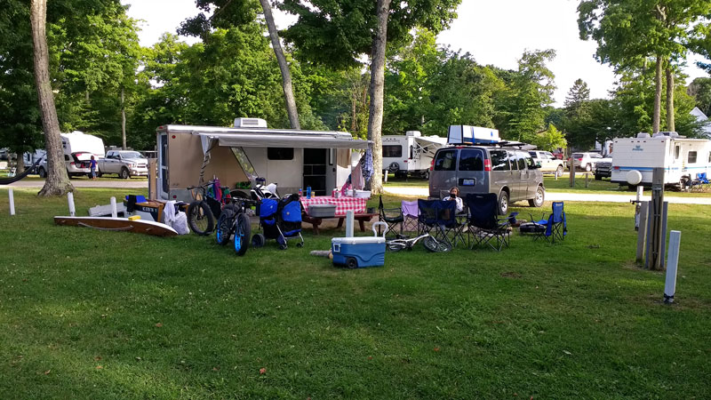
We drove around the campground loops and had about 10 open sites to choose from and several others were in the process of packing up. We didn’t see any lakefront sites that we liked so we settled into 108 on the east side of the campground.
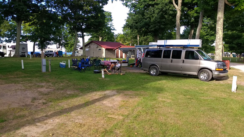
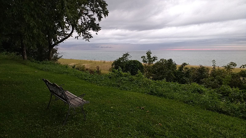
It ended up being a really great site. We had good shade most of the day and we still had a view of Lake Superior between the other campers. We backed up to a nice open area and it was a short walk across the grass to the bathhouse.
More Woodland Park Information >>
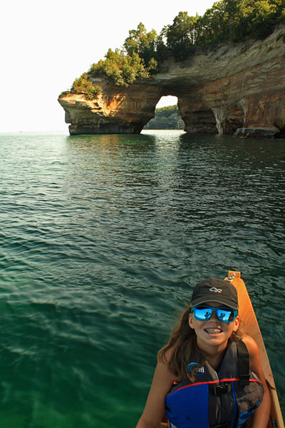
Taking the Outrigger Canoe to Sable Falls

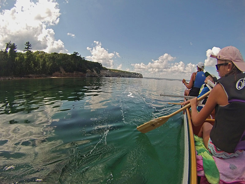
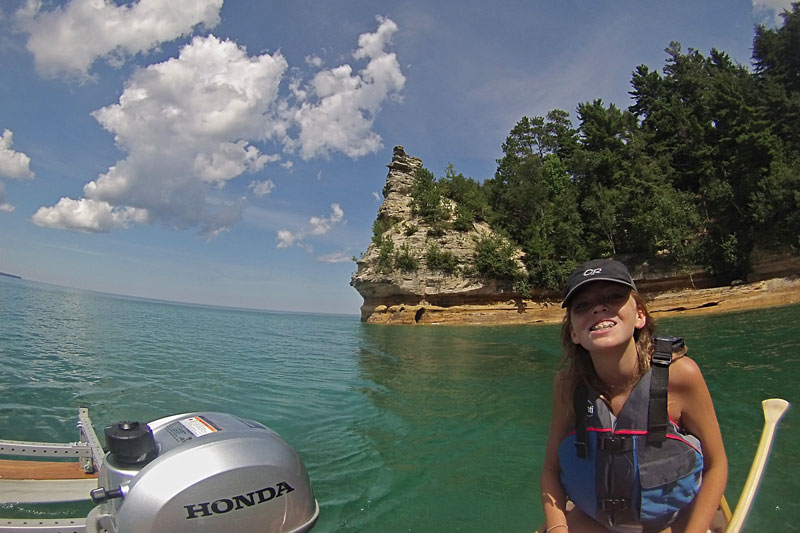
It was going to be a really nice afternoon and we had been waiting to get the boat out. We loaded up the outrigger canoe and drove down to the nearby park on the Grand Marais Harbor.
The Wa’apa 26 foot outrigger canoe was my winter project and I could not wait to get some Lake Superior water under it. It is built in 3 separate sections which makes it easier to transport and store, but it also takes a little time to assemble at the launch. It has been great new addition to our outdoor gear arsenal and we get a lot of looks out on the water. All 5 of us can get out and paddle together or we can fire up the 2 hp outboard and go for a relaxing cruise. It can also be sailed and this winter I plan to finish outfitting it with the sail rig.

It was built using the instructions and plans from: Building Outrigger Sailing Canoes: Modern Construction Methods for Three Fast, Beautiful Boats
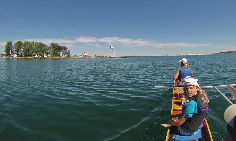
Motoring out the Grand Marais channel.
It was a little rough from the reflection waves near the end of the channel, but it was nice and smooth out on Lake Superior.
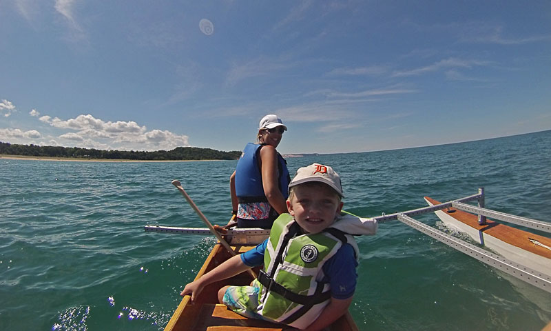
I think the water was the warmest we have ever had up here.
We beached the canoe by the Sable Creek.
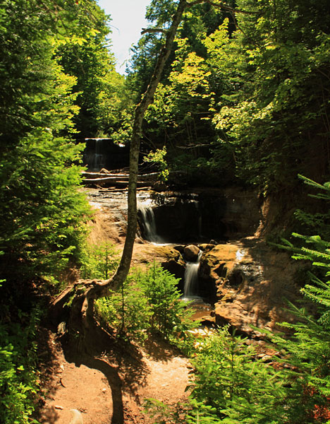
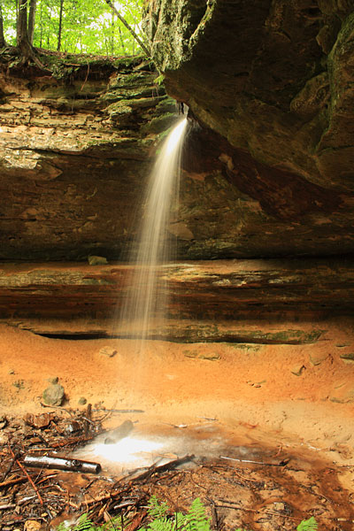
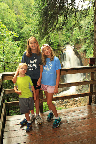
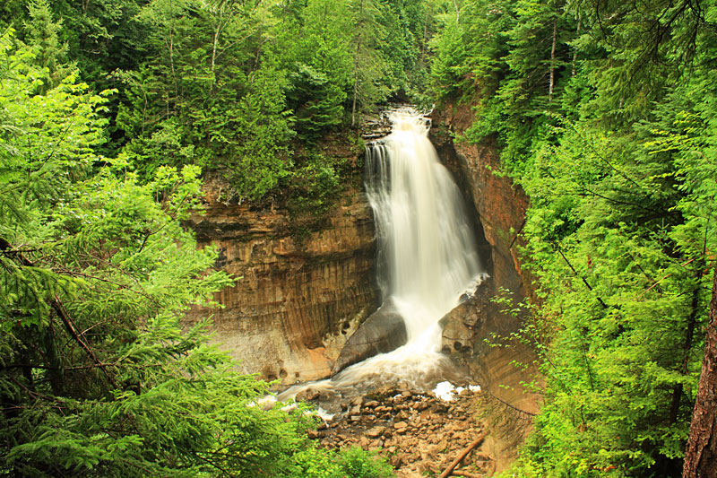
From the beach it only about a 200 yard walk up to Sable Falls. There was not much water flowing.

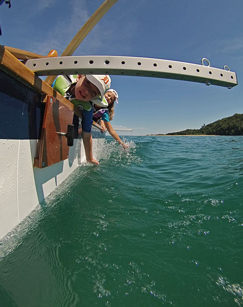
After visiting the falls we went swimming and relaxed on the beach.
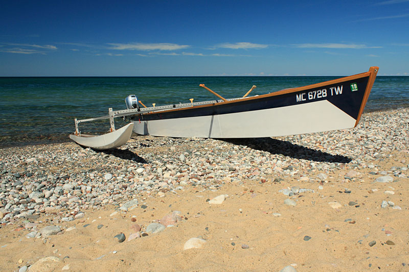
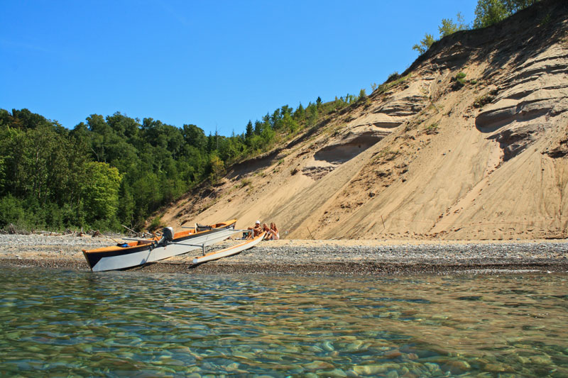
The outrigger looking good on the shore of Gitche Gumee.
All too soon it was time to make our way back to the campground for dinner and a campfire. Why do vacation days go so fast?
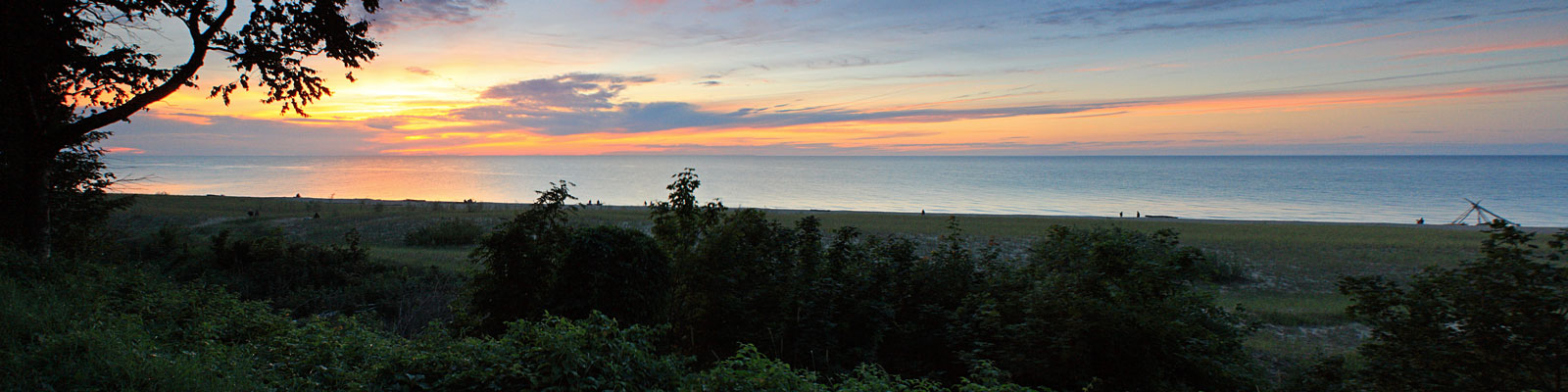
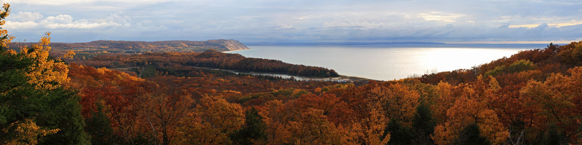
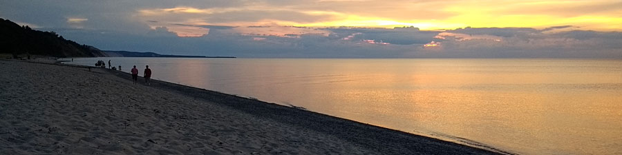
We have watched some of our all time favorite sunsets at Woodland Park and the first night was a good start.
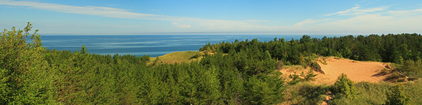
The Grand Sable Dunes Trail
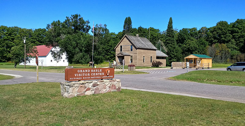
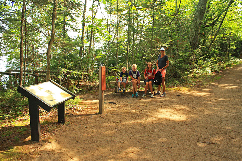
The next morning we stopped to checkout the Grand Sable Visitor Center. The main building was under going renovations so they were operating out of a small temporary cabin in the parking lot, The ranger called it their “Shedquarters.” After the kids got the stamps in their passport books
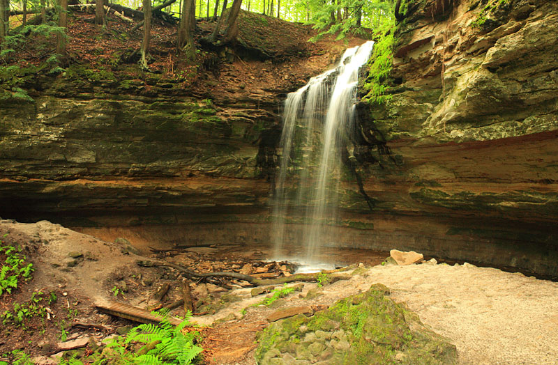
we headed over to the nearby Sable Falls parking area.

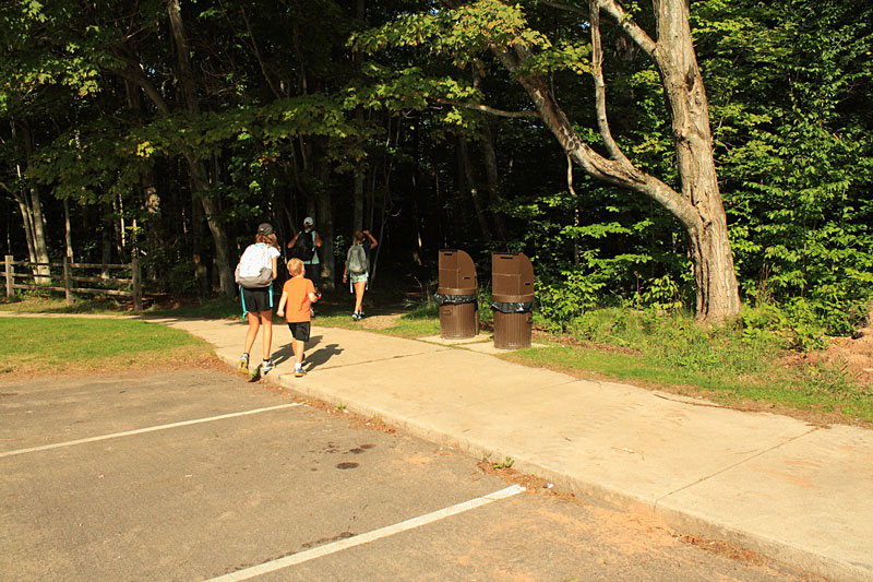
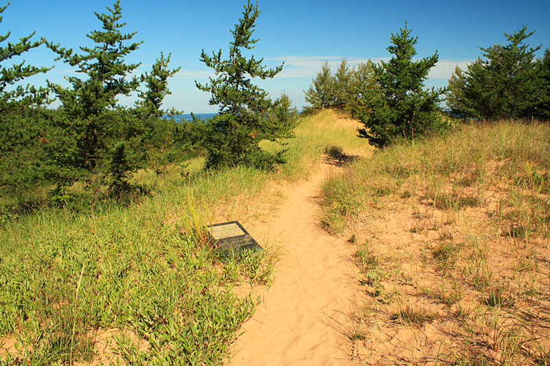
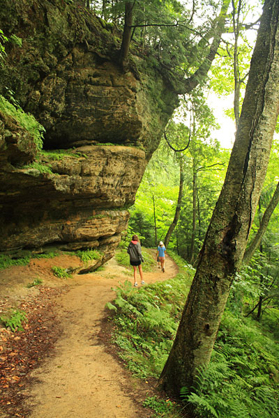
From the Sable Falls parking area it is about a 0.5 mile hike down to the falls and this is the direction most people go. We had just seen the falls the day before. However, in the northwest corner of this parking area you will also find the trailhead for the Grand Sable Dunes Trail. This short hike into the dunes was one that we had not done before so it was time to check it out.
From the Pictured Rocks Day Hikes Guide: “Grand Sable Dunes Trail – A 1.0 mile trail to a portion of the dunes begins at the west end of the Sable Falls parking area. The trail passes an old apple orchard and crosses a bridge over Sable Creek. It then winds uphill through jack pines into an open dune environment. Exhibits along the trail discuss dune plants and their role in this unique environment.”
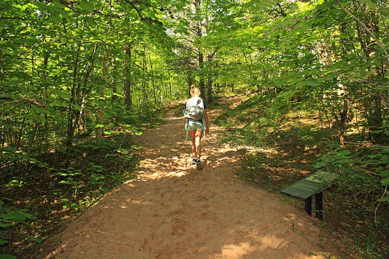
After a short section of trees the trail crosses an open area and remnants of an old apple orchard.
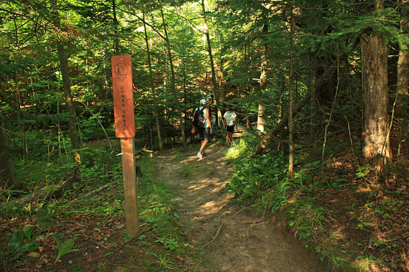
The first 1/4 mile of the hike is on the North Country Trail. At the marker above the Dunes Trail turns off to the right and crosses Sable Creek.
The NCT continues on to the Grand Sable Dunes Visitor Center in about 0.75. Starting at the Visitor Center and going out and back to see the falls and the dunes looks like it would be a nice way to do a little longer day hike in this area.
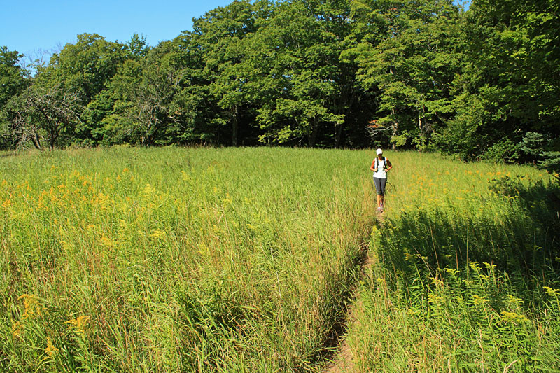
As you near the dunes the trail turns to sand and starts up a slight climb.
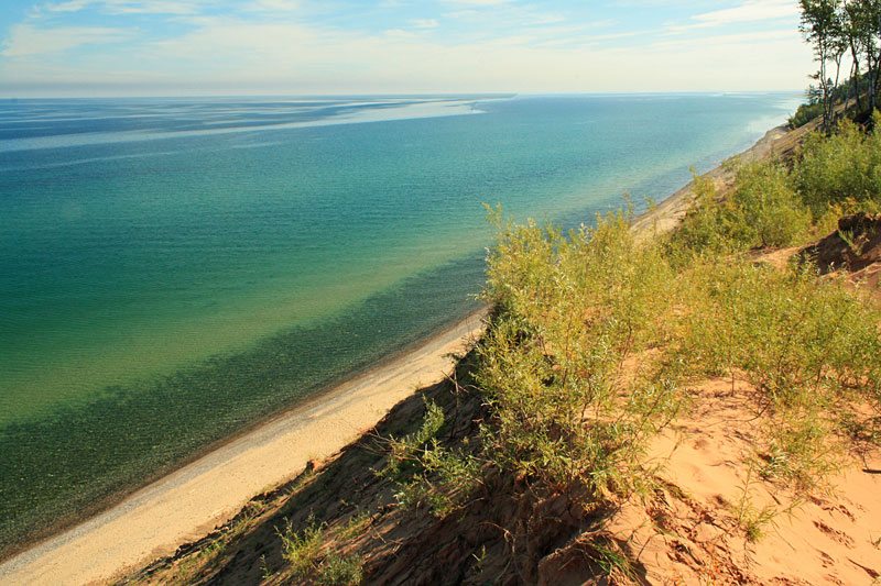
When you break out of the trees the trail turns north and you get your first view of Lake Superior.
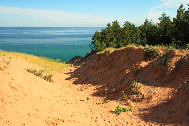
Dropping down into the sand bowl.
Looking towards Grand Marais from the edge of the dune.
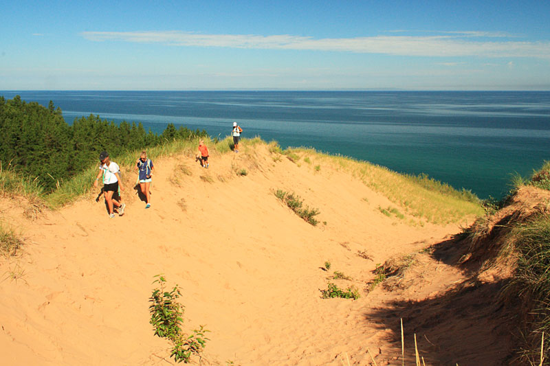
Heading back after taking a short break to enjoy the view.
Before backtracking down into the trees we followed a side trail up to another overlook. The trail continued on further into the dunes, but it was really starting to heat up so we decided it would be best to head back. The total distance we hiked was 1.5 miles, but the soft sand always makes it feel a little longer. The trail has some nice views and it is worth checking out if you are visiting Sable Falls.
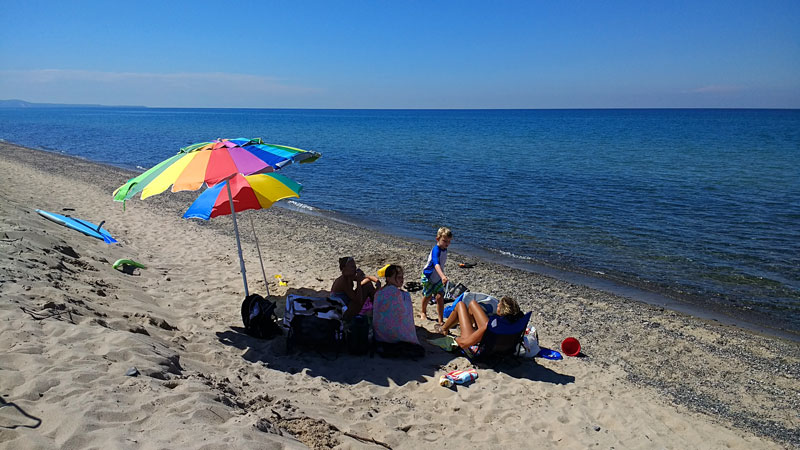
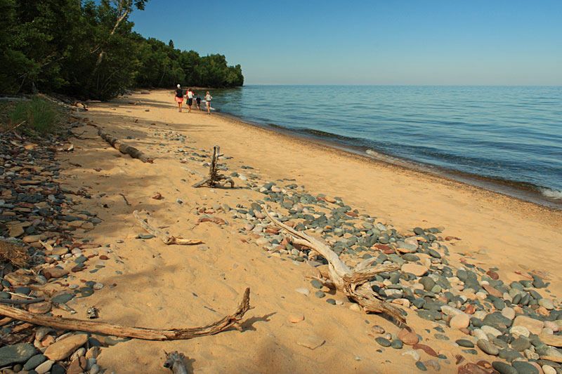
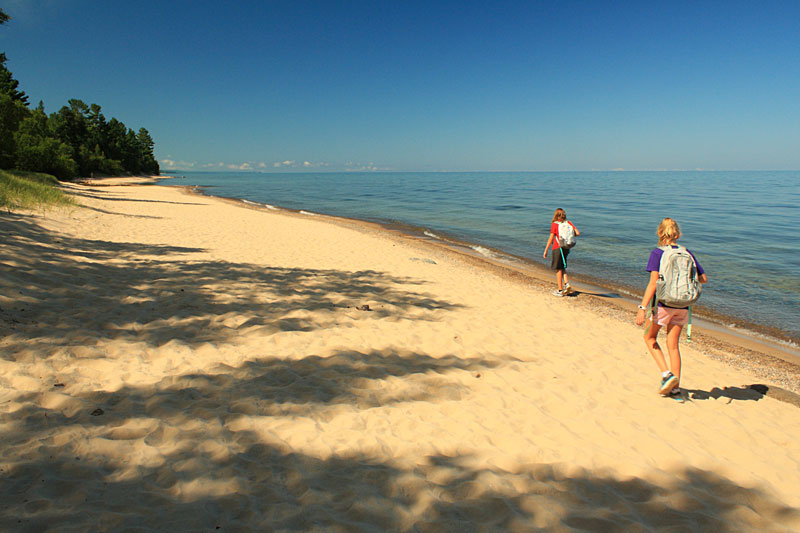
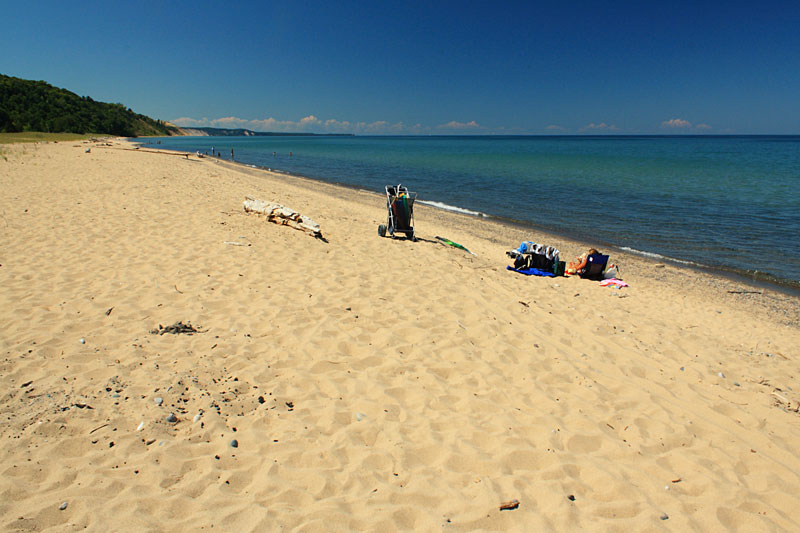
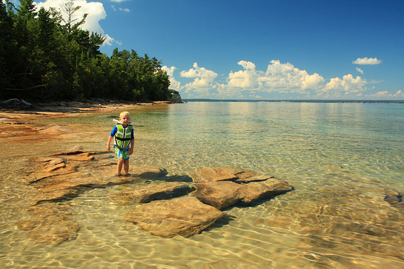
We spent the rest of the day on one of our favorite beaches in Michigan.
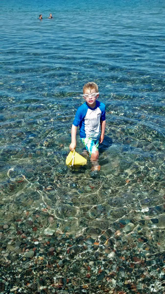
The water was again nice for swimming and collecting rocks.
It was almost the perfect day on the beach. The only problem that we had was big horse flies buzzing and biting us while we were out on the paddle board. They occasionally bothered us while we were swimming, but for some reason they were really attracted to you on the board. I thought the girls were over reacting when they came in, so I went out and had to turn back after about 10 minutes. It just was not fun trying paddle and swat flies at the same time.
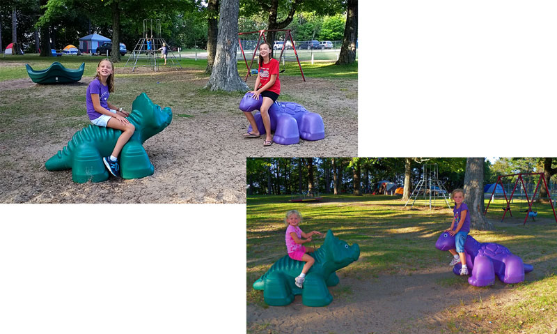
After dinner we walked into town to get a few things we needed. On the way the girls saw the dinos and wanted to try and recreate the picture from 2010.
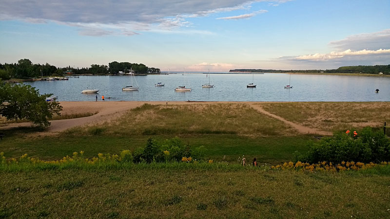
Early evening at the Grand Marais Harbor.
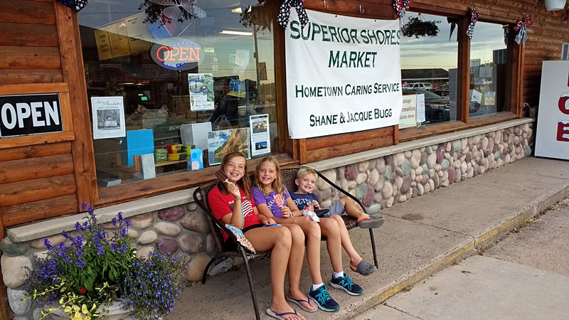
Ending a warm day with ice cream treats from the Superior Shores Market.
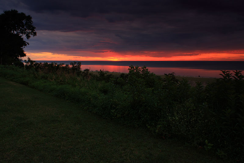
We almost missed another good sunset.
Au Sable Light Station
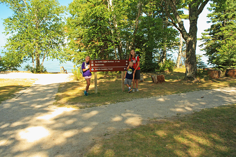
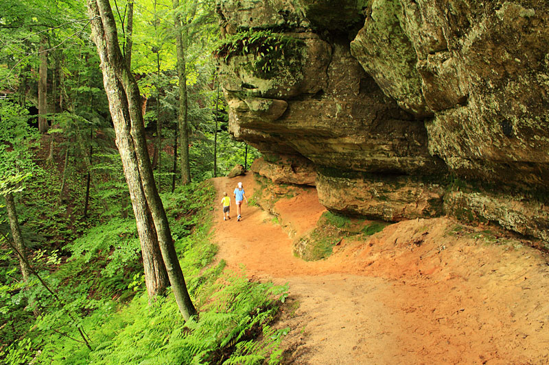
The next morning we laced up our hiking shoes again and drove over to the Hurricane River Campground. This is also the trailhead for hiking out to the Au Sable Lightstation on the North Country Trail.
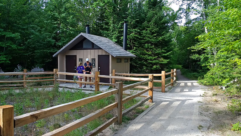
Stopping at the facilities before heading down the trail.
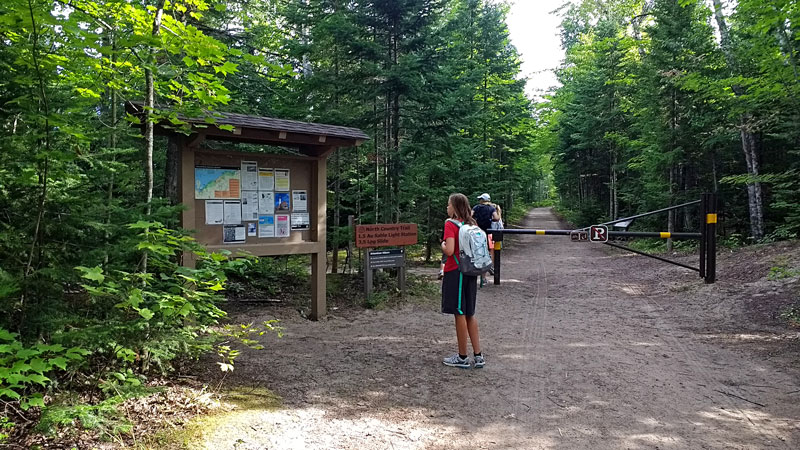
The hike to Au Sable Point is easy walk on the Lighthouse service road.
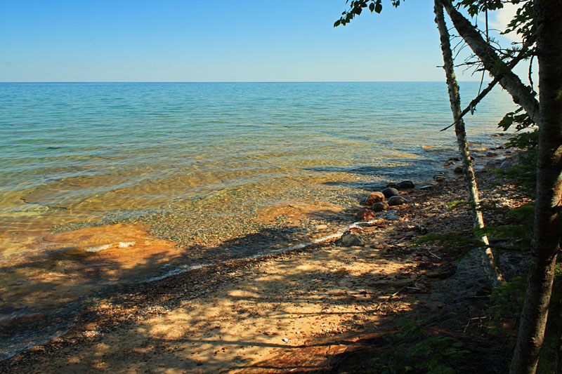
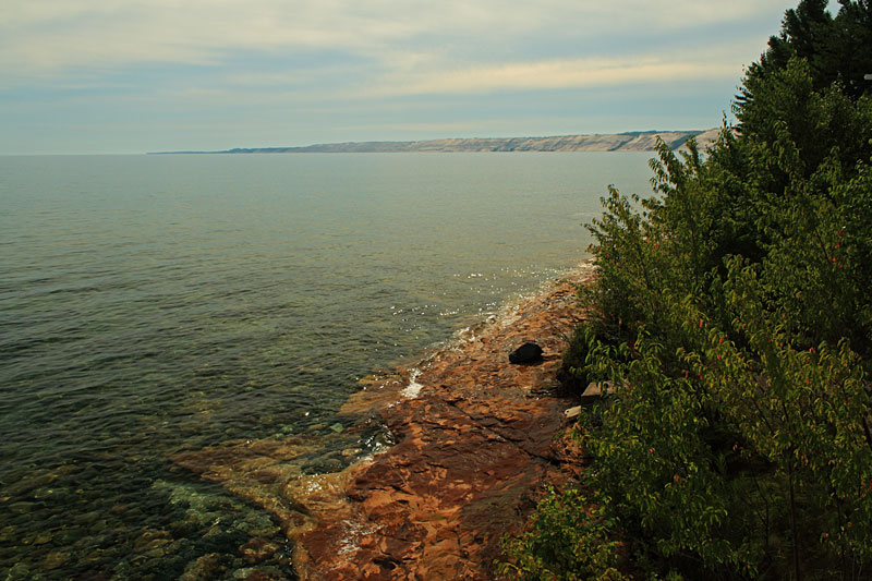
Along the way there are only a few openings where you can see Lake Superior.
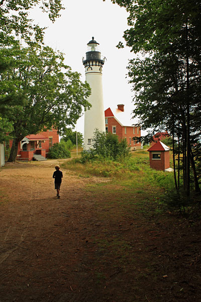
After about 1.7 miles you arrive at the lighthouse.
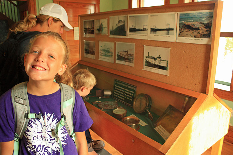
Inside the first building there was a nice little museum with artifacts and information about the shipwrecks on and around Au Sable Point. When we entered we were greeted by a very friendly couple that was spending the month as live-in volunteers. They work at the contact station in the museum and get to live in the apartment upstairs.
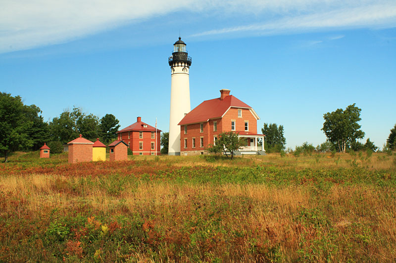
After the museum we walked around the grounds.
Standing near the Fog Signal building and looking east toward the Grand Sable Dunes.
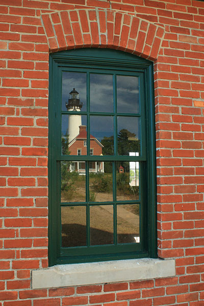
The window in the Fog Signal building.
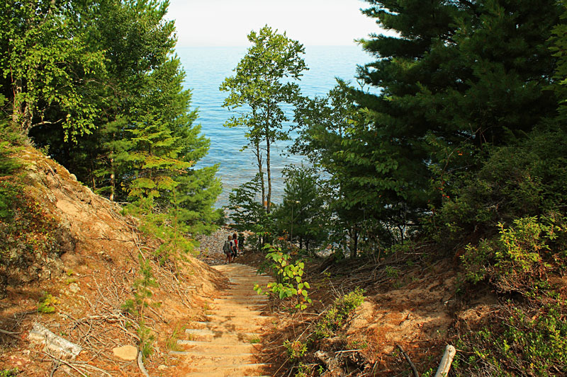
On the west end of the Lightstation grounds there are stairs down to the beach.
We wanted to try and walk back on the beach so we could see the remains of 3 different shipwrecks that are just a short distance from the lighthouse. The first part was slow going on the loose rocks.
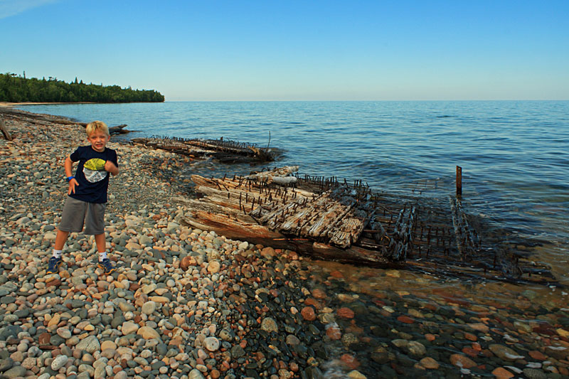
The remains of either the Sitka or the Gale Staples.
According to the NPS Shipwrecks bulletin: “The bones of the Sitka and Gale Staples are mingled at Au Sable Point. The two craft were much alike – both were double decked wooden bulk freighters. Each had two masts and were 272 and 277 feet in length, built in 1887 and 1888. The Sitka stranded on October 4, 1904, in heavy fog and high winds. Downbound and loaded with iron ore, the ship ran aground, filled with water and was abandoned in heavy seas. Lifesavers from Grand Marais rescued 17 men from the ship. The Gale Staples was upbound on October 1, 1918, laden with coal for Port Arthur. Driven by high winds, she veered off course and grounded on the reef. All hands were eventually rescued.”
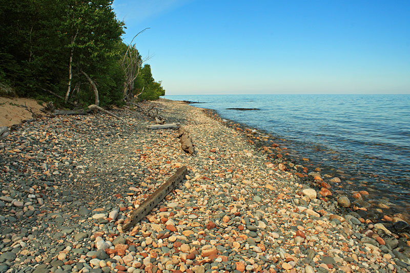
After the shipwreck remains the walking got easier as the shoreline changed to mostly sand. Just before the point at the top of the photo above you will find a set of stairs leading back up to the lighthouse service road.
Resting on the bench at the top of the stairs.
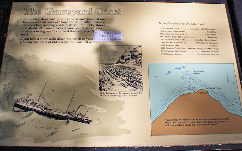
The display near the stairs explains that this was called The Graveyard Coast because shallow sandstone extends out about 1 mile from Au Sable Point.
Just before the campground we were able to drop back down and walk the beach back to the Hurricane River. After hiking out and back to the lighthouse and exploring the grounds and beach it was about a 4 mile morning for us. The hiking was just okay, but there is enough history here to keep things interesting.

More on the history of the Au Sable Light Station >>
Au Sable Light Station Multimedia presentations >>
For more on this hike and others in Pictured Rocks pickup a copy of: Explorer’s Guide 50 Hikes in Michigan’s Upper Peninsula: Walks, Hikes & Backpacks from Ironwood to St. Ignace
After lunch back at our campsite we spent another really nice afternoon at the beach.

We are often asked about our favorite camping gear. Woodland Park was another place that we were happy to have our Wonder Wheeler Wide Beach Cart for hauling everything down to the beach and firewood back to our campsite.
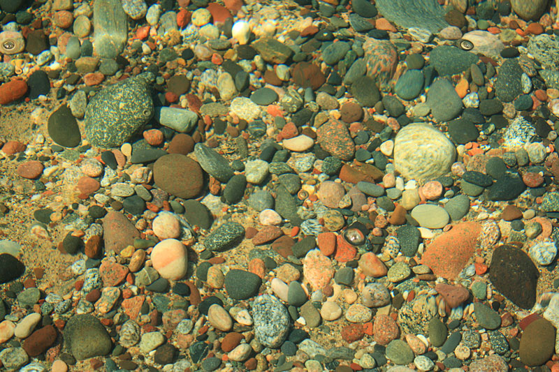
One of the favorite activities for the kids and even many adults is collecting rocks on shore and in the water.
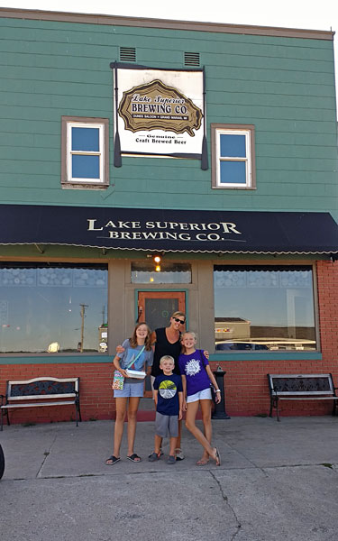
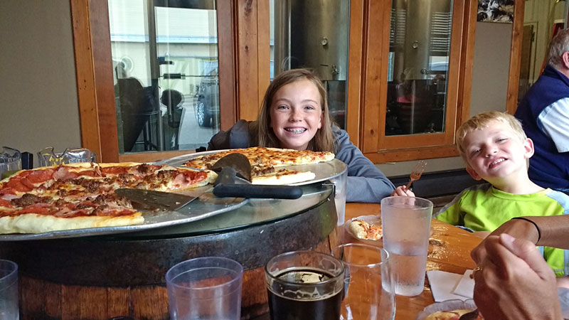
For dinner we walked into town to one of our favorite places to eat in Michigan. It had been a few years and we were happy to find that other than some new outdoor seating Lake Superior Brewing Company was just as we remembered it.
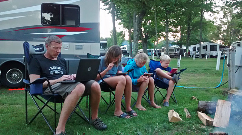
Electronics hour by the campfire.
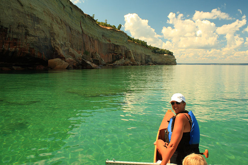
Taking the Outrigger Canoe along the Pictured Rocks Cliffs
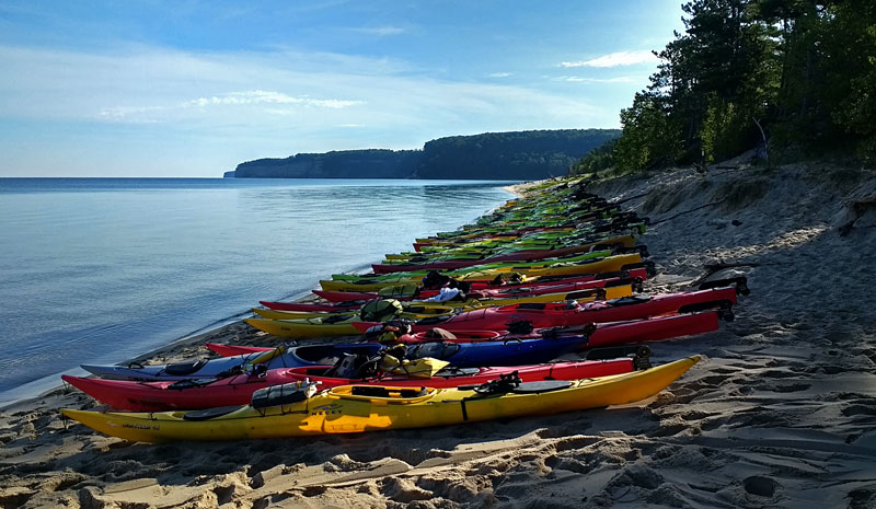
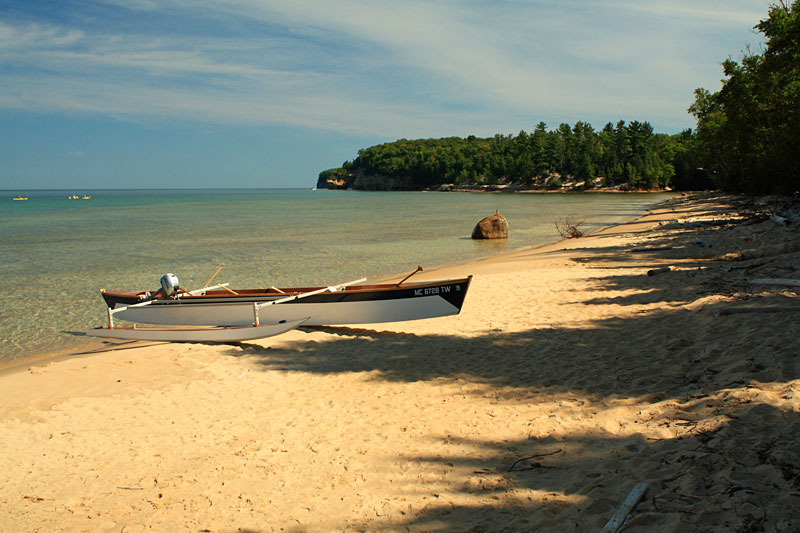
The next morning we loaded up the outrigger canoe and drove over to Miner’s Beach. We got an early start so we could get a good spot in the parking area because we had a lot of stuff to carry down to the water. When we brought our canoe down we were pretty surprised at the number of kayaks lined up for the morning tour.
Miners Beach is the best access for paddling the Pictured Rocks cliffs but it does require a 500 foot carry that includes about 30 stairs down to the water.
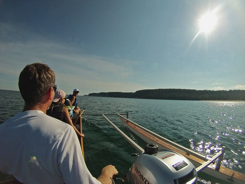
After about 45 minutes of hauling and assembling the boat we were finally motoring away from Miners Beach.
It was nice to have our new outboard on the boat so we could get away from all the kayak tours groups. We decided to motor up to Indian Head Point and then paddle back along the cliffs.
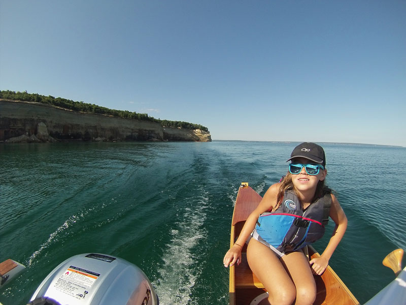
Nearing Lover’s Leap Arch.
We really enjoyed the Pictured Rocks Boat Cruise, but paddling along the cliffs is still our favorite way to see them. Getting up close and going slow you get to see all the fine details and can even listen to the water dripping into the Lake as it seeps through the sandstone.
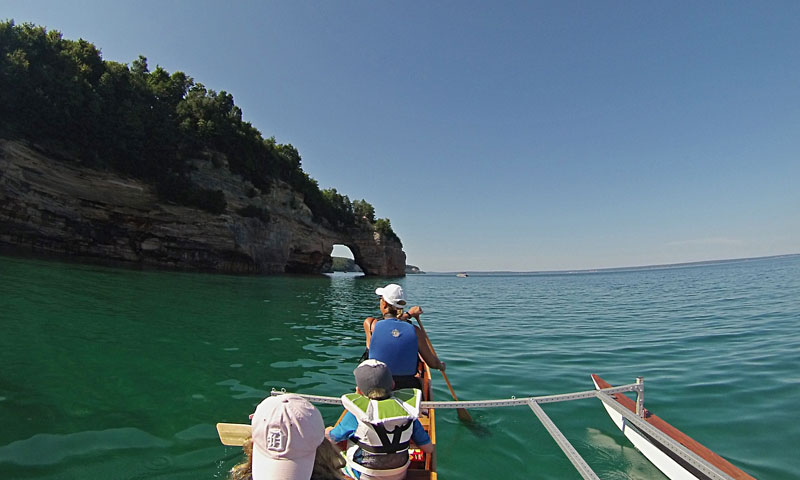
Paddling through Lover’s Leap.
Looking back after safely navigating through Lover’s Leap.
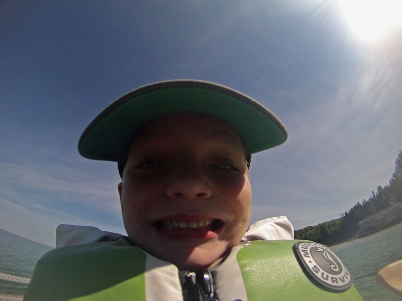
Our little buddy wanted to get in on the Pictured Rocks selfie action after watching his sisters with the GoPro.
Pulling up on Mosquito Beach for lunch.
Mosquito Beach is a fun place to swim and checkout all the rock shelves that extend out in the crystal clear shallow water.
By the time we were done eating all of our friends from the kayak tours showed up for their lunch stop on the beach. After swimming we headed back out to stay ahead of them.
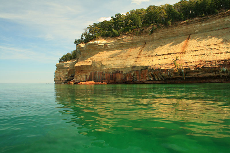
The cliffs between Mosquito and Miners Beach have some of the best colors. We took our time slowly floating along the walls and enjoying a perfect day on Lake Superior.
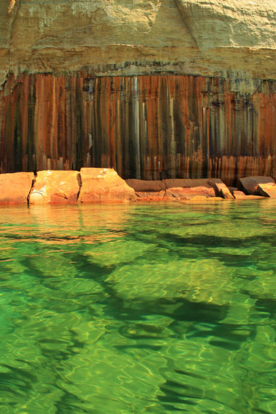
You can see why they are sometimes called Painted Rocks.
The top of this point fell in since the last time we here.
When we got back near Miner’s Beach we fired up the motor and cruised back past where we launched to see Miner’s Castle. Then we continued on along the cliffs for about a mile to the west before turning around.

We had perfect weather and a really nice day out on the water, but paddling along Pictured Rocks is not something that should be taken lightly. The water is usually cold and the weather can change quickly. We saw this several years ago when the Lake went from being perfectly flat to having 2 to 3 foot waves in less than 30 minutes. The big wakes from the tour boats can also easily swamp an open boat. I always watch the weather closely and listen to the marine forecast before heading out.
For more on the paddling in Pictured Rocks see: Guide to Sea Kayaking on Lakes Superior and Michigan: The Best Day Trips and Tours
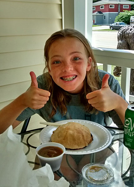
After a full day in the sun paddling and swimming we were all starved. We decided to drive to Munising for an early dinner at Muldoons Pasties. They have your traditional beef and also chicken, vegetable and dessert pasties. We all thought the beef pasty was one of the best we have had, but keep in mind that we were also very hungry. We tried a chicken, but it was not as good as the original.
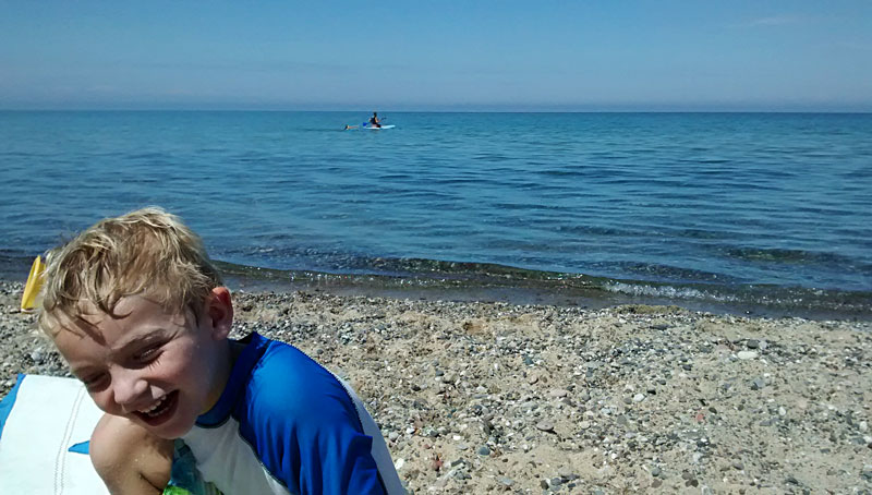
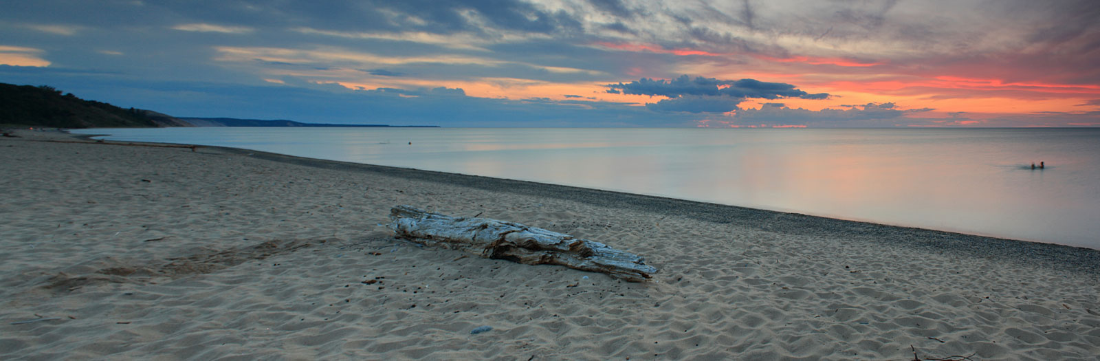 Back in Grand Marais it was the perfect end to one of those perfect days in the U.P. The girls still did not have enough of the warm Lake Superior water. You can see their little heads swimming on the right end of the photo.
The Log Slide Overlook and Munising Waterfalls

We woke up to cloudy skies and the forecast was for scattered showers after 2 p.m. We decided that it would be a good day to drive back towards Munising again and do some of the short waterfall hikes.
On the way we made a quick stop 7 miles outside of Grand Marais at the Log Slide Overlook. From the parking area it is an easy walk of about 0.2 miles on a crushed stone path to the overlooks. When you get to the split shown above, going right takes you down the steep dune to Lake Superior. Although, we would recommend first going to see the overlook to the left and then if you are up for the challenge you can take on the dune climb.
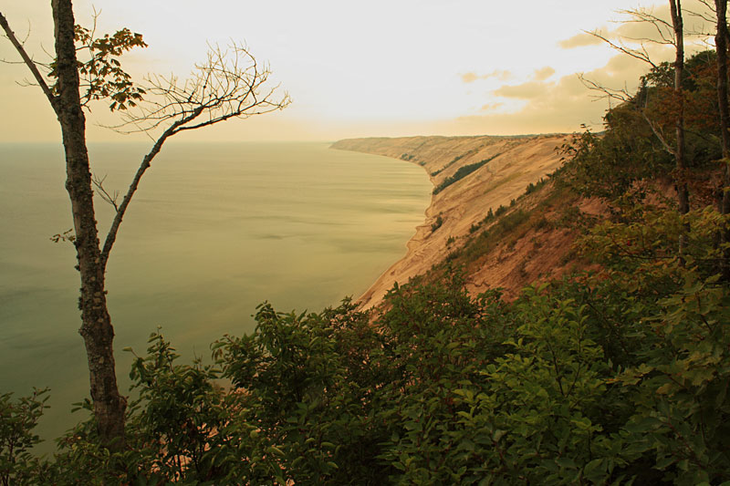
From the overlook platform you get one of the best views of the Grand Sable Banks arching out on the horizon. On a clear day you can see the Grand Marais harbor past the end of the dunes.
Looking the other way is Au Sable Point and the lighthouse tower.
From the NPS website: “Legend has it that logs sent down the dry log chute would generate enough friction to cause the chute to catch fire. Today the chute is gone, but the lumberjack stories still linger as you gaze out over the Grand Sable Banks and Dunes.”
We didn’t have the best weather on this visit, but the Log Slide remains near the top of our list of favorite views in Michigan.
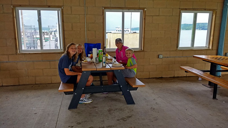
Continuing on towards Munising we drove into a heavy rain shower. It was still coming down when we reached town. We found the picnic shelter by the docks and ate an early lunch while waiting for the rain to pass. As we ate we watched the Pictured Rocks Cruise Boats heading out into the rain and fog. The boats were still just as packed as when we went earlier in the week. I can only assume that everyone must have purchased advanced tickets. We would not have wanted to spend that kind of money to go out in bad weather.

It was still dripping a little when we finished lunch, but we were ready to move so we drove just out side of town to the Twin Waterfalls Preserve. I guess technically it is still within the Munising City limits. To access Twin Falls drive east from town on H-58 for about 1 mile to Washington Street. Just after turning left on Washington there is parking for a couple cars on the right side of the street. Then to find the trail walk back across H-58 and look for the stairs heading up the hill.
We usually like to visit Memorial Falls first. To do this you skip the first stairs and continue along the shoulder of H-58 for a short distance until you see another trail heading up to the right. Just into the woods you find the split shown above.
Since our last visit there have been some new improvements including signs and stairs.
Heading down into the Memorial Falls Canyon.
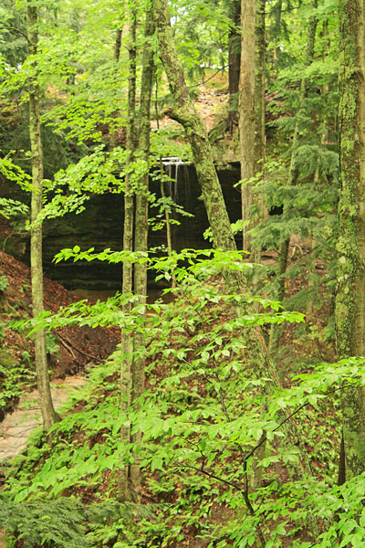
Through the trees to the left there was a little companion waterfall that was flowing with the recent rain.
The path under Memorial Falls is now blocked off and they do not want you walking behind the falls anymore. We decided to be a good example and follow the rules but based on all the footprints most people do not.
From here we backtracked down and then head up the trail towards Olson Falls.
Olson Falls was also flowing pretty good after the rain.
The trail continues over the bridge at the base of the falls and then horseshoes back out to the lower access on H-58.
Checking out the overhangs on the way back.
The total distance to see both falls is just under a mile, but the trail does have some rough and steep spots. We have visited several times and it is one of our favorite short hikes. The falls are nice and the canyon walls on the way in are almost just as impressive.
If you continue another 0.5 mile down the road from Twin Falls parking you will find Munising Falls and Visitor Center. The Munising Falls area is more developed, but worth checking out if you have not seen it. We were there earlier in the week so we skipped it this time.
Directions to the Twin Falls parking.
After visiting Olson and Memorial Falls we decided to continue the waterfalls circuit with a stop and Miner’s Falls. The hike to Miner’s Falls is an easy 0.6 mile stroll down a wide gravel path. There is a partial view of the falls at the end of the trail, but to get the best view stay to the left and descend the 77 stairs down to the deck shown above. Be careful because it is often wet and slippery.
Miners Falls drops about 50 feet and has the most consistent flow of an of the Pictured Rocks waterfalls.

From the Miner’s Falls Trail Guide: “Miners Falls has the greatest volume of water flow of any waterfall in the park. The water is tea colored because of tannins – compounds released from roots of wetland plants upstream. White foam is sometimes seen in the creek, a natural product of the organic solids in the water. The falls cascade over an inland section of the Pictured Rocks escarpment. An extension of that escarpment also creates Tahquamenon Falls some 60 miles east of here, and Laughing Whitefish Falls western Alger County.”
You can find both of these Pictured Rocks waterfall hikes in: Hiking Michigan’s Upper Peninsula: A Guide to the Area’s Greatest Hikes (Regional Hiking Series)
Back in Grand Marais we checked the weather forecast hopeful that it would change from what we had been watching. It was still showing a 90% chance of rain for Saturday and then wind starting in the evening and picking up to 25 mph with gusts as high as 40 by Sunday morning. We planned to stay until Sunday, but decided that it would be best pack up a day early and get back over the bridge before the wind picked up.
To celebrate our last night in Grand Marais we walked into town for another dinner at Lake Superior Brewing. We headed over early, but the place was already filling up and we were lucky to get the last open table in the back room. This time we had the pizza and it was also very good. We have always been pleasantly surprised with the quality of the food here.
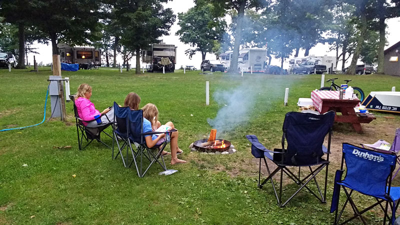
Back at the campground we made quick work of getting everything ready for our morning departure and had then had plenty of time to relax by the fire.
Hoping for one more of those Woodland Park sunsets…
We got an early start and by 9:30 we had the U.P. in the rearview as we crossed the Mighty Mac. 🙁
Woodland Park in Grand Marais remains one of our favorite places to camp in Michigan. We were disappointed that we had to leave a day early, but were also very happy with everything we we were able to see and do during our week in Pictured Rocks.
![]()
![]()
![]()
![]()
![]()
 Our Favorites:
Packtowl Original Superabsorbent Towel
We have been using the Original Packtowls for years. They pack small, are lightweight, fast drying and will absorb 10 times their weight in water. They also have a snap loop that has always been useful for hanging them up to dry. Our girls are still using the 2 large size towels that we bought over 10 years ago and they seem to just be getting better every time you wash them.
On our recent trip when there was a lot of cloudy and damp weather. Our Packtowls were always ready for our next shower, when normal beach towels would have stayed wet for days.
Search for Packtowls on Amazon >>
Advertising Disclosure: We may receive a commission if you click a link on our site and purchase one of the products or services that we recommend.
Leave a Reply