The Grass River Natural Area – June 19, 2015
On our first morning camping at Barnes County Park we took a drive over to the Grass River Natural Area. It is an easy 30 minute drive, if your GPS doesn’t take you down a dead end dirt road like ours did.
From the Grass River Natural Area Website: Grass River Natural Area is a special place and one of Michigan’s premier nature preserves. Founded in 1969, GRNA was established by the community for the community. Located along Antrim County’s Chain of Lakes, Grass River Natural Area’s wetlands act as a filter for millions of gallons of water flowing into East Grand Traverse Bay and Lake Michigan. Seven miles of trails and boardwalk take visitors through cedar swamp, sedge meadow, and upland forest. GRNA, Inc. is a 501(c)3 non-profit organization responsible for financing, preserving, and managing the Grass River for public use by the people of Antrim County and its visitors.
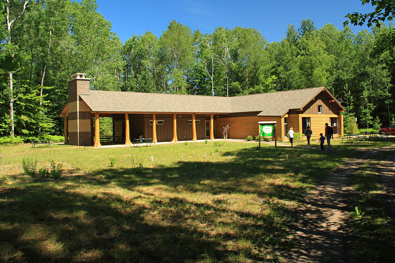
Our first stop was the visitor center.
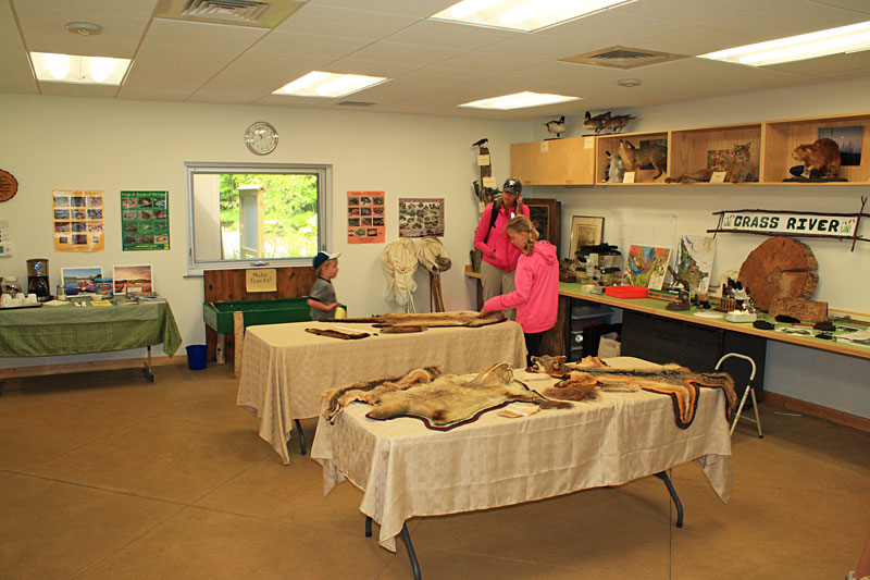
Inside there was a children’s story hour going on so we tried a quietly checkout the hands on displays and book store in the other half of the center.
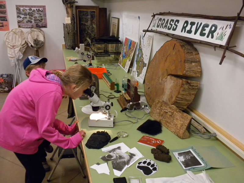
There were several animal mounts and other interesting displays that are worth seeing. Our kids favorite was the fake bear scat.
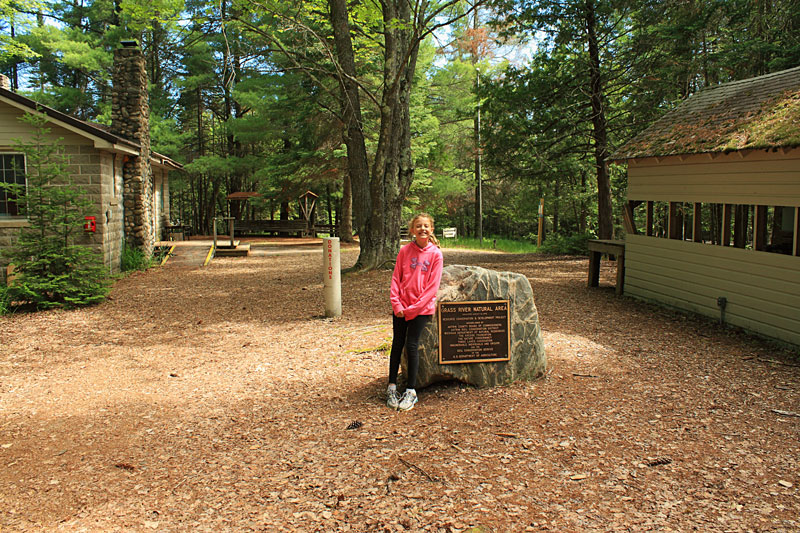
After everyone used the restrooms in the visitor center, we set off to find the start of the Sedge Meadow Loop. It is just to the left of the cabin above.
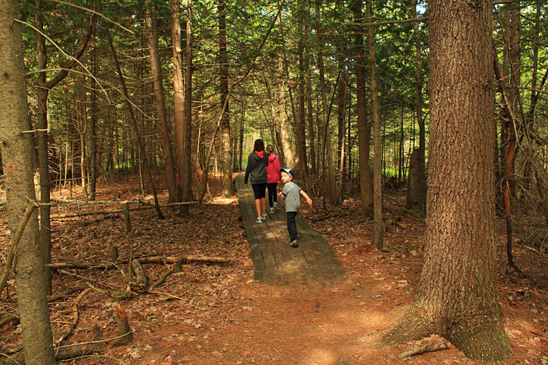
Starting the boardwalks on the Sedge Meadow Trail. We hiked the loop in the clockwise direction.
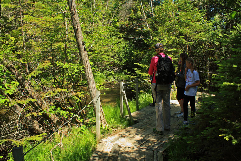
As we approached the first bridge over Finch Creek an otter swam away out of site.
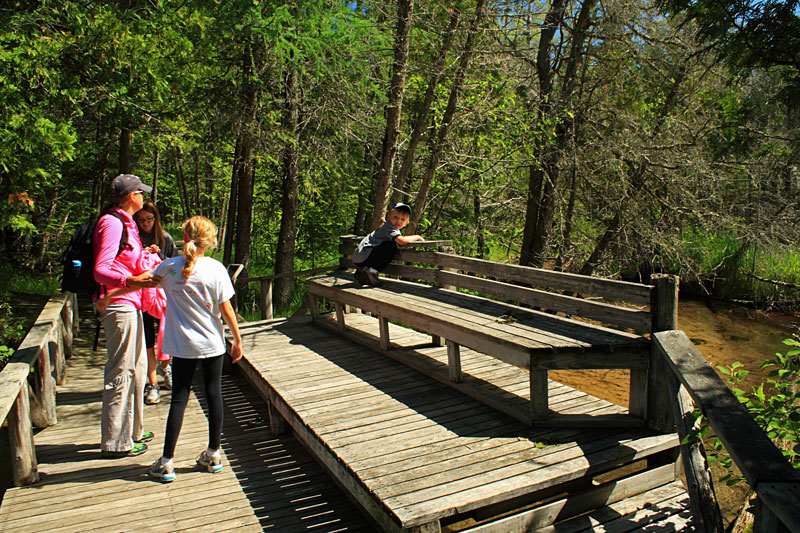
Looking upstream on the bridge over Finch Creek.
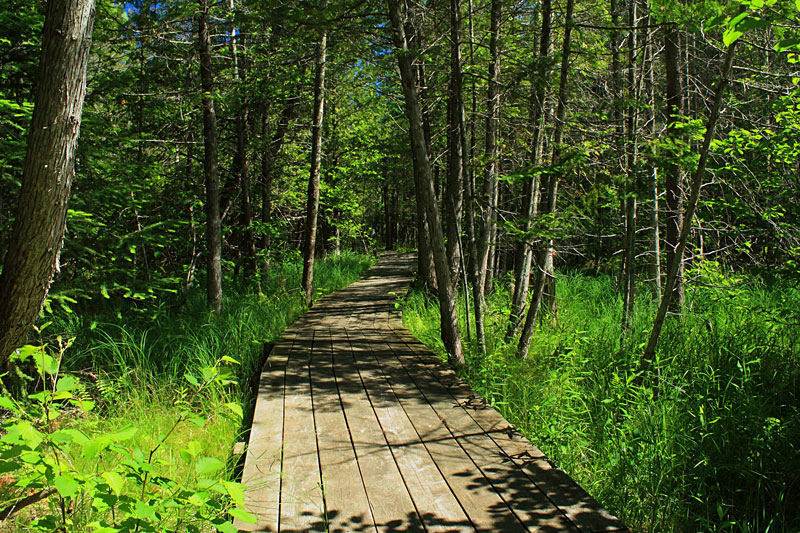
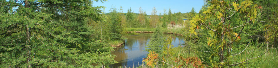
Almost all of the 0.75 mile Sedge Meadow Loop is on boardwalks.
About Sedge Meadows: As the name implies, sedge meadows are dominated by members of the sedge family, Cyperacae, particularly Carex spp. Sedges are grass-like plants that differ from the true grasses primarily in their reproductive structures and often, but not always, stems that are triangular in cross section. Sedge meadows most often have standing water during the spring and after heavy rains, but are often free of surface water mid to late summer. Soils run from muck to peat, but the peat is composed largely of partially decayed roots, stems and leaves and not mosses. Source: Lake and Wetland Ecosystems
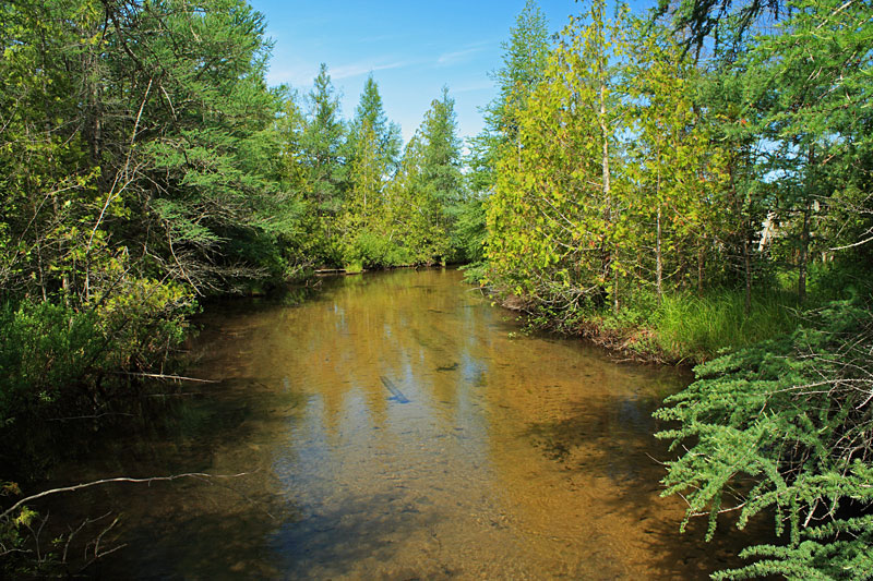
Just past the Finch Creek Crossing we took the 0.1 mile spur trail that leads out to the dock on the Grass River.
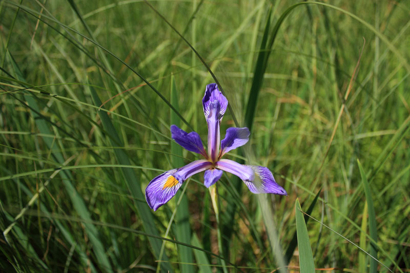
An Iris along the spur trail.
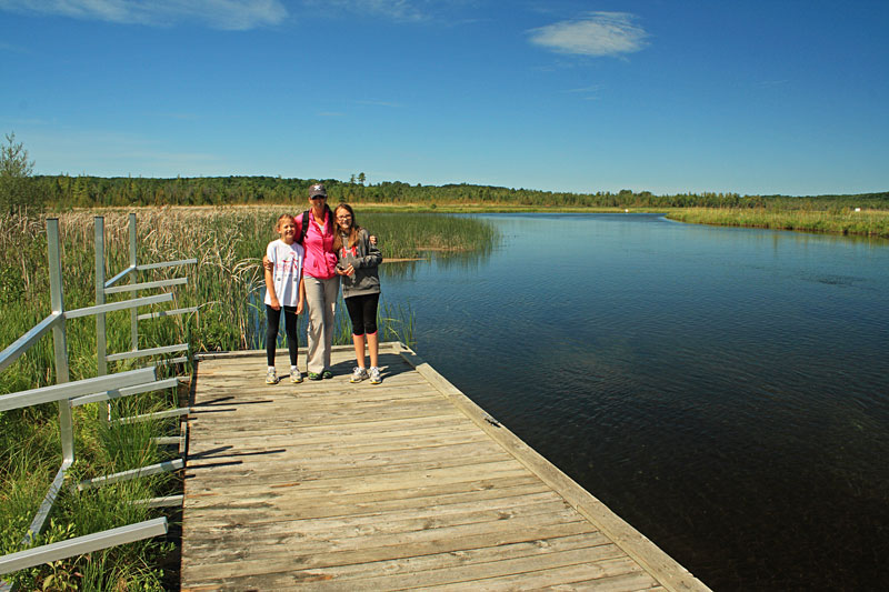
The Grass River.
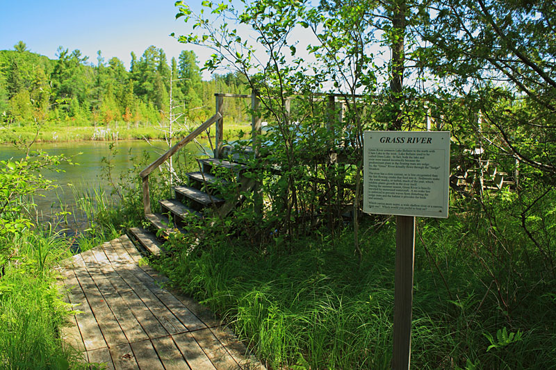
After backtracking from the dock to the main loop you soon come to the Grass River overlook platform.
From the sign by the overlook: The Grass River connects Lake Bellaire to the north with Clam Lake to the west.Lake Bellaire used to be called Grass Lake. In fact both the lake and river were named incorrectly because the predominate plant in the floating mats are sedge. So the “Grass” River actually flows through a “Sedge” Meadow.
The River has a slow current so it is less oxygenated than the faster flowing creeks that flow into it.Sediments make the water murky, or turbid, much of the year, which inhibits plant growth in the river itself. During the summer season the Grass River is heavily traveled by motorized watercraft. A no-wake law is enforced to prevent waves from damaging the sedge mats and the habitat it provides for birds and animals.
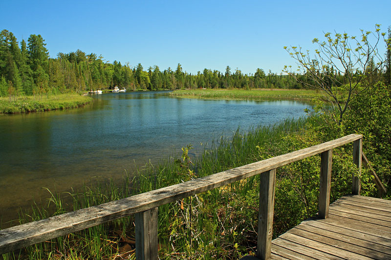
The view from the overlook.
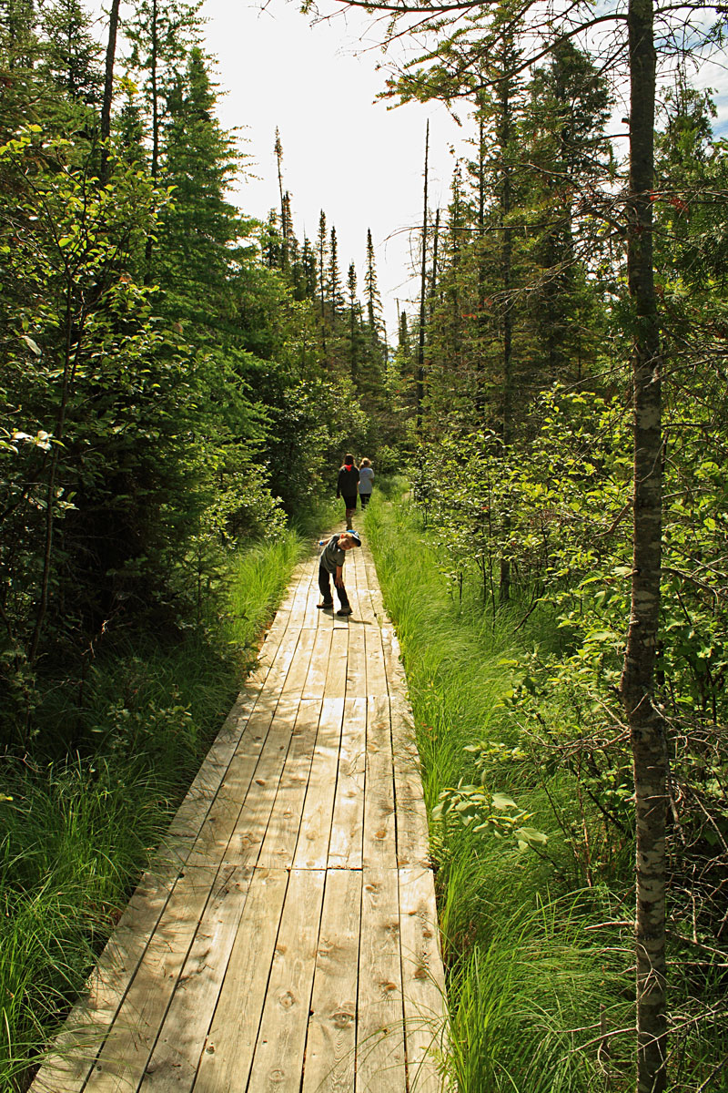
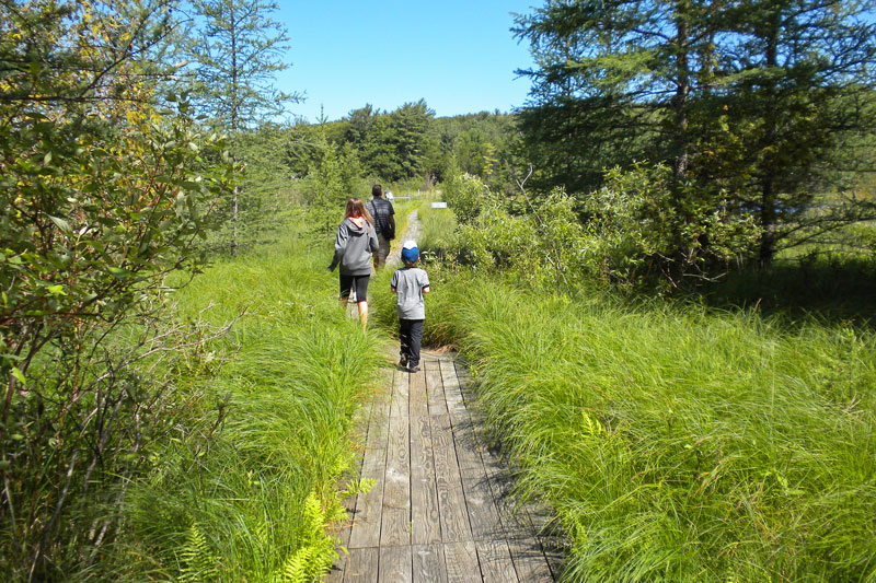
A straight section of boards as the trail swings back away from the Grass River.
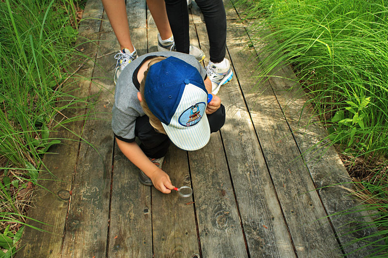
This is one of those unique hikes where you will want to slow down and take your time so you do not miss anything.
Walking along Finch Creek.
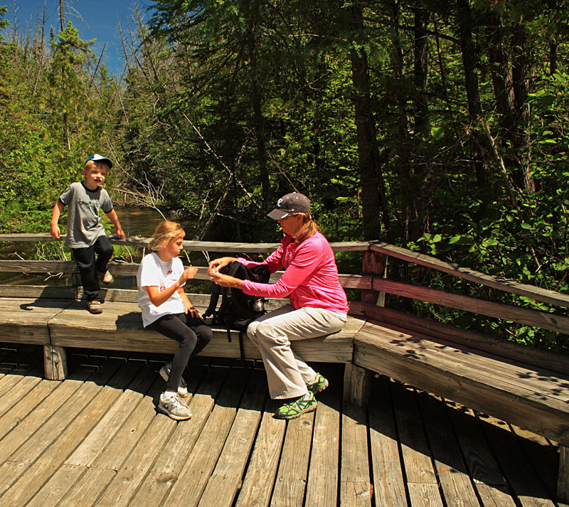
Taking a break on the last bridge over Finch Creek. On the second half of the loop we saw several interesting plants and also kicked up 2 deer along the trail.
The Sedge Meadow Loop with dock spur trail and parking lot access trail was just under 1.5 miles. I would plan on at least an hour so you have plenty of time to stop and appreciate everything that this natural area protects.
There are a total of 7 miles of trails to explore in Grass River Natural Area. By the time we finished the Sedge Meadow Loop it was noon and everyone was getting hungry, so we did not sample any of the other trails.
The Grass River Natural Area Trail Map. To download or print this map click here.

Website: www.grassriver.org
For more hiking in the Grass River Natural Area see: Hiking Michigan – 2nd Edition (America’s Best Day Hiking Series)
![]()
![]()
![]()
![]()
![]()

I am often asked about the camera that I use for the photos on this site. We are starting to use our cell phone cameras more because of the convenience and improved quality. However, when I want to good quality photo it is still hard to beat my old Cannon DSLR camera.
I have been using a relatively inexpensive Canon Rebel XS with the 18-55mm lens for several years now. This trusty old camera only has a 10MP sensor, but the photos still look better than our 16MP point-and-shoot. For outdoor shots I often use a Circular Polarizer Filter to reduce glare and make the sky and other colors really pop.
Search for Canon DSLR Cameras on Amazon >>
Advertising Disclosure: We may receive a commission if you click a link on our site and purchase one of the products or services that we recommend.
Leave a Reply