Tahquamenon River Trail
 
  Home     Day Trips     Hikes    Bike Trails    More    Books    About  

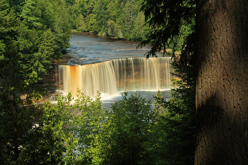
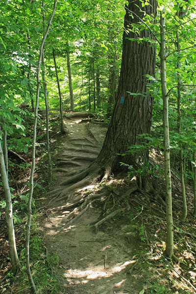
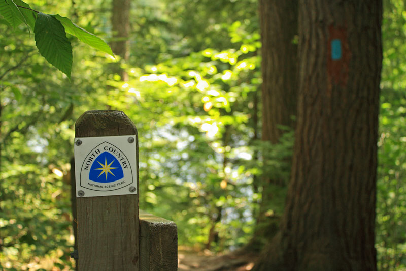
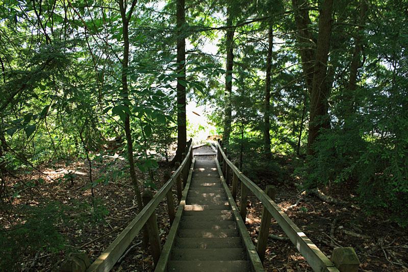
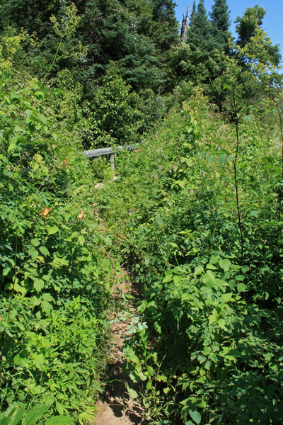
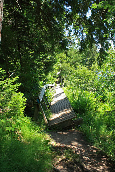
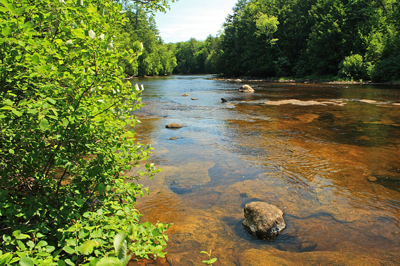
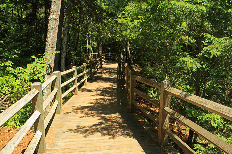
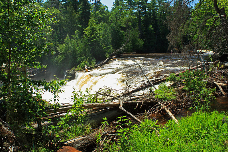
The Tahquameonon River Trail at Tahquamenon Falls State Park - July 13, 2013

Words here


the upper falls overlook
The view from the Upper Falls overlook.
The Tahquamenon River Trail:
the tahquamenon river trail start
While Mom and the kids checked out the gift shop at the Upper Falls I hiked the Tahquamenon River Trail back to our campsite. This 4 mile hike is moderately difficult with more climbing than you would expect and some sections of fairly rough and rooty trail. I figured that walking in the downstream direction would be more down hill than the other direction. I have seen people on the trail in flip flops, but I would recommend at least a sturdy pair of shoes.
The Tahquamenon Falls State Park hiking trail map. Right click the map to save, print or rotate.
river trail marker
This is also a section of the North Country Trail and it is well marked with the standard blue blazes.
the stairs down to the tahquamenon river
Several of the steep trail sections have stairs.
hiking along the river
After climbing up and over a ridge on a bend in the river the trail drops down and runs along the river bank.
trail distance markers
There are posts at each mile along the way.
log bench on the trail with no view
After about a mile hiking down along the river the trail climbs up to this bench with a view of the river that is mostly blocked by the trees.
bench at the trail half way point
By the halfway point you are back down by the river again and there is another bench if you need a rest.
overgrown trail along the tahquamenon river
Several of the sections down by the river were getting overgrown already.
brige on the tahquamenon river trail
There are bridges running over the several small streams flowing down into the river. This was one of the longest and most interesting to cross.
nearing the lower falls
As you near the Lower Falls the river bottom changes to mostly rock and you can see the current starting to pickup.
lower falls board walk
After climbing up high on the bank one more time you drop back down to the lower falls boardwalk and have to fight your way through the crowds for about the last 0.25 mile of the hike.
the lower falls
The view of the Lower Falls from the boardwalk.

Most maps mark this as a 4 mile hike, but my GPS track had it at 4.5 miles and it took about 1.5 hours to complete. There is a shuttle available if you can't arrange transportation. I think it started at $15 for the first person and $2 for each additional person.

Tahquamenon Falls State Park Trail Map >>

To see more from our visit to Tahquamenon Falls StatePark click here >>

<< Back to Our Home Page | Back to our Michigan Hikes Page >>

Like our Facebook page to get notified when we make new additions to MyMichiganTrips.com >>


For more on this hike see :
More on our MI Adventure Guidebook Page >>
 
Shop The North Face Products at Campmor!
 
 
Advertising Disclosure: We may receive a commission if you click a link on our site and purchase one of the products or services that we recommend.
What your own website? We Recommend:
  ^ Go To Top ^  
Home | Day Trips | Hikes| Bike Trails | More | MI Guide Books | About | Copyright © 2007-2015
Shop Campmor for Your Quickest Link to the Outdoors