The Bare Bluff Trail – April 18, 2013
One morning while we were camping at Fort Wilkins State Park we drove from Copper Harbor towards Lac La Belle to do the hike to the top of Bare Bluff. This is probably one of the more remote hikes we have been on as a family. From what I had read about this hike it sounded like just getting to the start of the trail was going to be half of the adventure. The trailhead is a 2.5 mile drive down a seasonal road that at times can be very rough and muddy. For us it was mostly dry with only a few rough spots. It think a car with decent clearance could have made it at this time of the year.
Smith Fisheries Road.
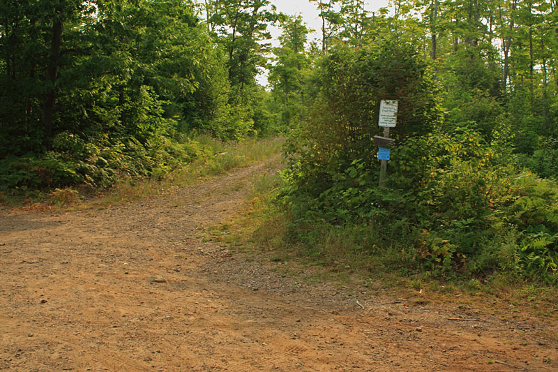
The parking area for the Bare Bluff Trail is marked with a small sign that says “Sanctuary Trail Head” and then “Stow all valuables out of site before locking vehicle.” I could tell that the combination of the seasonal road and the sign was making mom a little concerned about where I was taking them.
The first part of the hike is on the logging road that starts to the left of the sign.
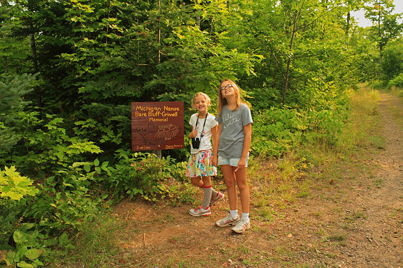
Just a little ways up the logging road there is a steel gate and then just past this was a wood trail map that let us know we were in the right place.
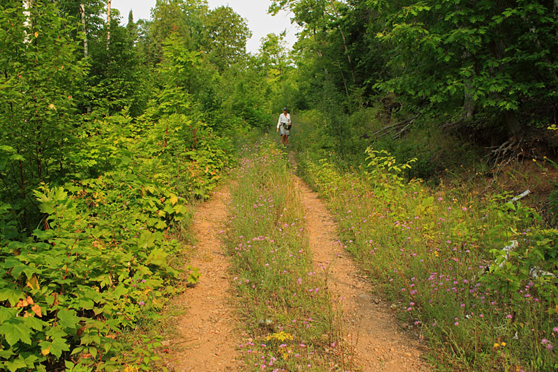
The route continues on the two track logging road for about 0.75 miles. The girls were not real happy about the weeds hitting there legs and all of the bees buzzing around. Although, it seemed to make for a faster pace than normal.
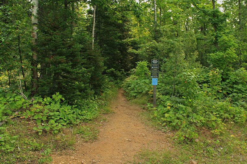
After about 0.75 miles you will see the sign above on the left side of the logging road marking the start of the Bare Bluff Trail. From here it is a steady climb on a single track trail to the top of Bare Bluff.
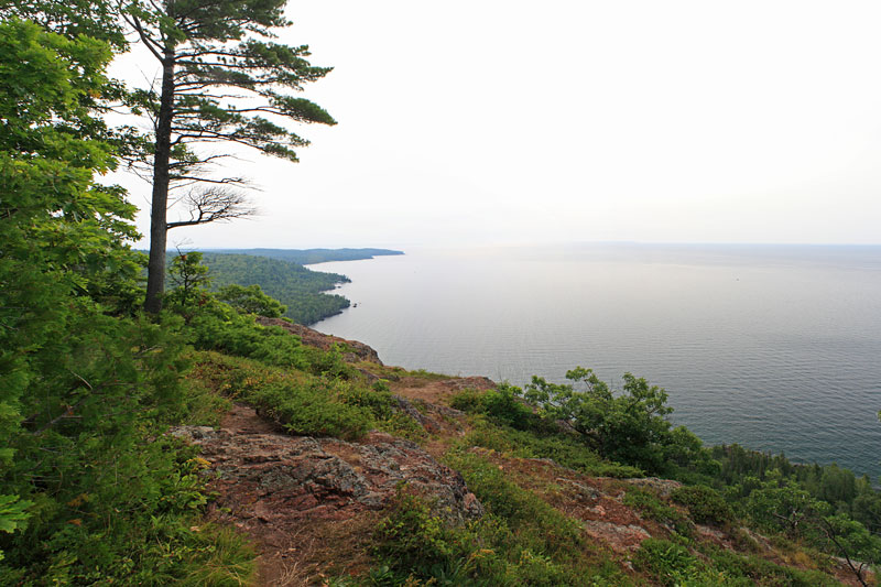
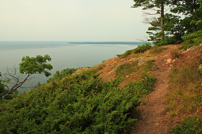
After about another 0.5 mile you break out of the trees right on the rocky edge of Bare Bluff about 500 feet above Lake Superior.
Looking east toward Bete Grise Bay.
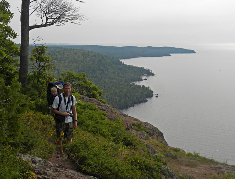
Reid and I with the Tip of the Keweenaw behind us. He really wanted to get out and walk, but that was not going to happen up here. We were not really comfortable letting the girls walk around either, so we found a nice rock for them to rest on.
After a short candy and water break we headed back down. We have learned that things always go better on the trail when there is the promise of a treat. The trail loops back down below the face of the cliffs, but it sounds like this part is pretty rough and not good for kids so we went back down the way we came.
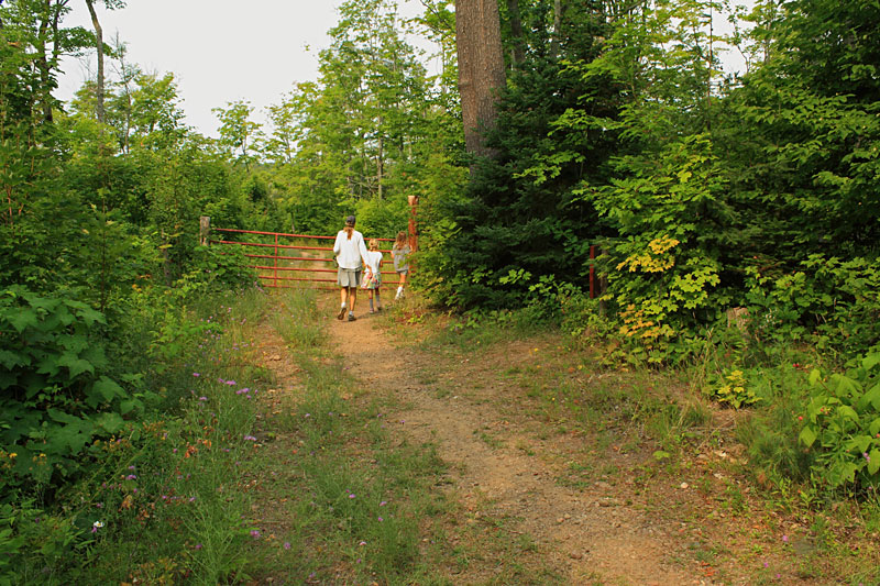
Rounding the gate back near the parking area. The entire hike was 2.5 miles and took us about 1.5 hours to complete.
View Bare Bluff 8/18/2013 9:51am in a larger map
Directions to the Bare Bluff Trail Head: From Copper Harbor go west on US41 about 10 miles to Lac La Belle Road. Turn left and follow Lac La Belle Road for about 4 miles and then stay left as it becomes Bete Gris Road. In about 3 miles you will see Smith Fisheries Road on the left. Immediately after turning on Smith Fisheries Road there is an unmarked fork where you will need to stay to the right. There is also a “No Trespassing” sign that will make you wonder if your are in the wrong place, but from what I have read it is ok to pass through. From here it is about 2.5 miles down the narrow dirt road to the parking pull off for the trail. (47.397202,-87.911815)
This hike was also highlighted in: Hiking Michigan’s Upper Peninsula
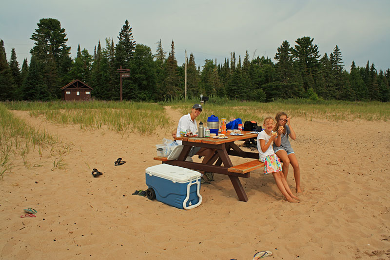
After our hike we drove down to the beach on Bete Gris Bay for lunch. The parking is along the road and there a few picnic tables down on the narrow strip of sand along the water. In the top left of the photo you can see the there are also pit toilets / changing rooms and the other side of the road.
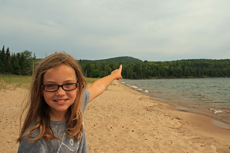
From our picnic table you could see the bluff we just climbed.
I am often asked about the camera that I use for the photos on this site. We are starting to use our cell phone cameras more because of the convenience and improved quality. However, when I want to good quality photo it is still hard to beat my old Cannon DSLR camera.
I have been using a relatively inexpensive Canon Rebel XS with the 18-55mm lens for several years now. This trusty old camera only has a 10MP sensor, but the photos still look better than our 16MP point-and-shoot. For outdoor shots I often use a Circular Polarizer Filter to reduce glare and make the sky and other colors really pop.
Search for Canon DSLR Cameras on Amazon >>
Advertising Disclosure: We may receive a commission if you click a link on our site and purchase one of the products or services that we recommend.




Leave a Reply