Visiting Gooseberry Falls, Split Rock Lighthouse and Tettegouche State Parks – August 13 – 16, 2015
We got an early start from our campsite in St Ignace, Michigan, but it was late afternoon by the time we made it to Gooseberry Falls State Park on the North Shore of Lake Superior. It was a nice and easy, but slow drive, across the Upper Peninsula, Northern Wisconsin and finally into Minnesota. It was unusually hot and humid weather for the north country. Even though we were right by Lake Superior, we did not get the cool lake breeze that we are used to at home with prevailing wind direction here being offshore.
We stayed 4 nights at Gooseberry Falls and explored this and the other State Parks along the southern part of the North Shore, then moved north to Grand Marais Minnesota for 4 nights at the city campground. From there we took the western route back home with stops at the Hayward KOA and Devils Lake State Park in Wisconsin.
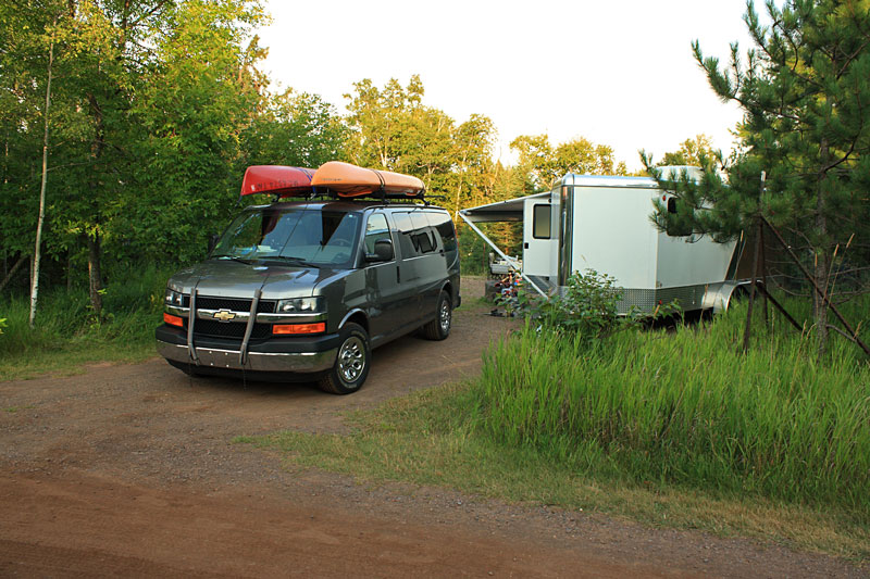
Our home at Gooseberry Falls was campsite 36. It was in one of the middle loops, but it was on the outside of a sharp corner and this gave us a lot of space and decent privacy. Right next to our site there was a short path that the led down the hill and to the picnic area on the shore of Lake Superior. The Gooseberry Falls campground has 69 drive-in sites spread over 4 gravel loops. The sites do not have electric hook-ups, but there are 2 modern bathhouses with showers and flush toilets.
The view from the back of our campsite.
We chose to stay at Gooseberry Falls after reading about it in Andrew Slade’s book: Camping the North Shore (There & Back Guides)
To download and/or print this map and brochure for Gooseberry Falls State Park click here.
More about Gooseberry Falls from the MNDNR website: “Gooseberry Falls is the gateway to the North Shore. It is known for its spectacular waterfalls, river gorge, Lake Superior shoreline, Civilian Conservation Corps log and stone structures, and north woods wildlife.
Listen to the thunderous roar of the Upper, Middle and Lower Falls of the Gooseberry River as it plummets through a rocky gorge. Watch for waves, ships, or the moon rise on Lake Superior from an ancient lava flow known as the Picnic Flow.
Hike or ski to see the Fifth Falls through a forest of evergreens, aspen, and birch, and enjoy camping in modern campsites, picnicking, and relaxing along the Lake Superior shoreline or the Gooseberry River.
To get the most out of your visit, stop by the Joseph N. Alexander Visitor Center where you can find park information, interpretive displays, a park video, Nature Store, and more. Don’t miss the Gateway Plaza for outdoor interpretive signs on area resources and history.” More…
These 3 were just happy to be out of the van after driving for most of the day.
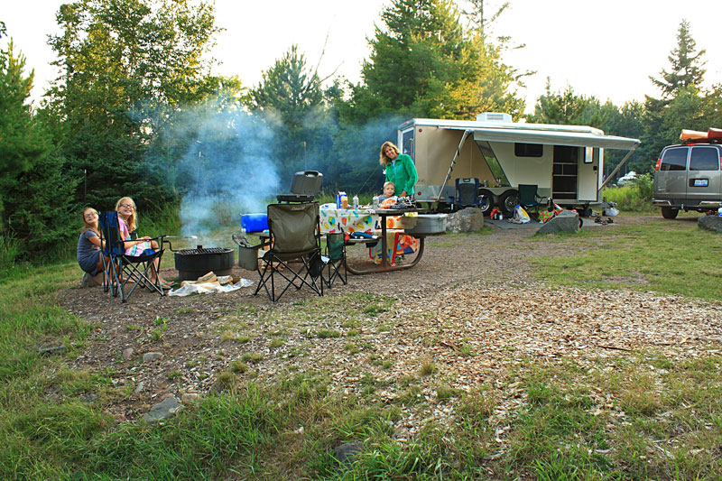
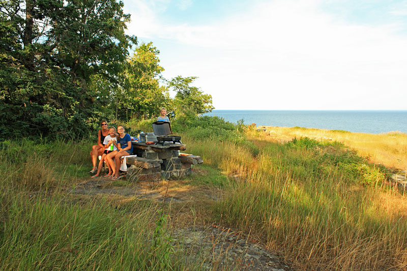
After setting up camp we tried to escape the heat by moving down the Picnic Flow area to grill our dinner. It was a few degrees cooler right by the water. While we cooked the kids stayed entertained by a few very friendly squirrels.
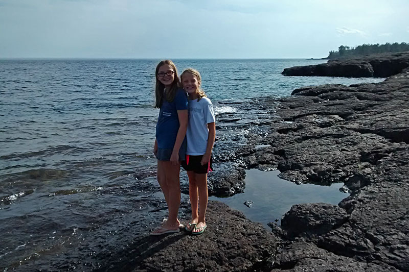
After dinner walked around and explored the rock formations left from the exposed lava flow.
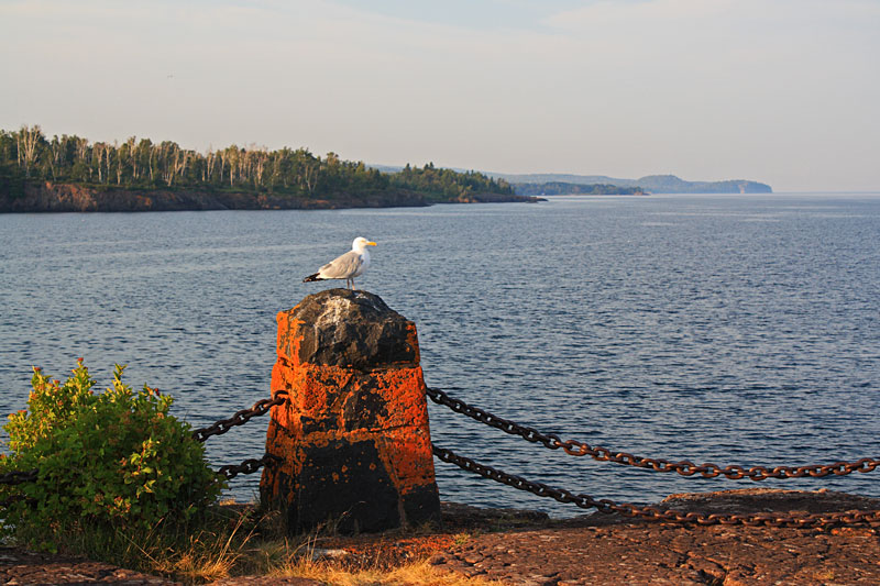
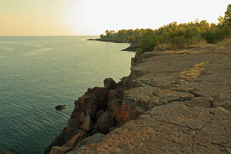
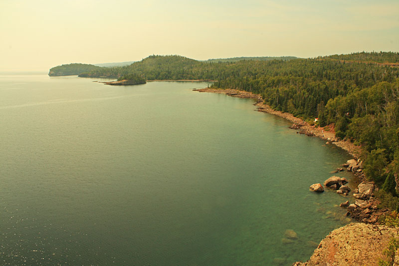
Looking north up the North Shore from the edge of the Picnic Flow.
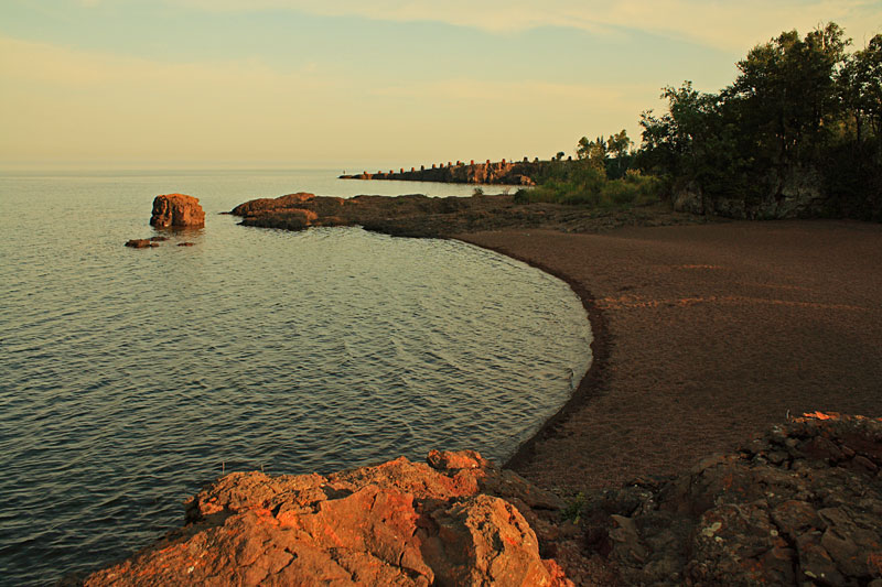
Agate Beach near the mouth of the Gooseberry River.
Walking back south along the along the cliffs on the other side of the Picnic Flow area.
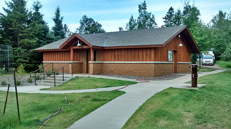
The bathhouse in the Gooseberry Falls campground.
It was still to warm for a fire, and without power at the campsite we couldn’t run our air conditioner. We decided that cool showers sounded good. Unfortunately, the bathhouse had push button showers without temperature control. At most campgrounds you will hear complaints that the water is too cold. Here it was almost too hot stand under and the baththouse was pretty much a sauna. So much for that plan…
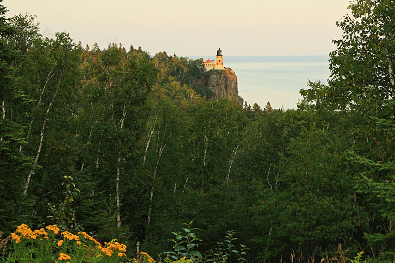
We had already spent too much time in the car, but decided to go for a drive to soak up some AC and get the lay of the area. Our first stop was at the Madeira Pullout to get our first view of the famous Split Rock Lighthouse.
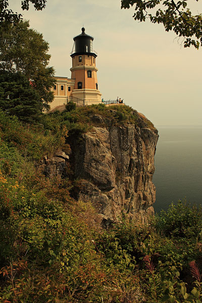
According to the book 61 Gems on Highway 61: A Guide to Minnesota’s North Shore-from Well Known Attractions to Best Kept Secrets the Madeira is the name of a ship that wrecked off shore here in the storm of 1905 and this was the final impetus for the construction of the Split Rock Lighthouse.
Gooseberry Waterfalls
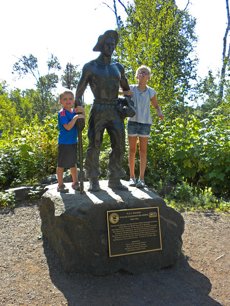
The next morning we drove to the Gooseberry Falls visitor center and then walked down to see the Upper, Middle and Lower Falls. We set off down the trail toward upper falls. Along the trail we found a statue that honors the work the Civilian Conservation Corps did in the park from 1934 to 1941.
After crossing below the Highway 61 bridge you get the first view of the Upper Falls.
The trail circles around the pool to the top of Upper Falls.
Resting on the rocks above Upper Falls.
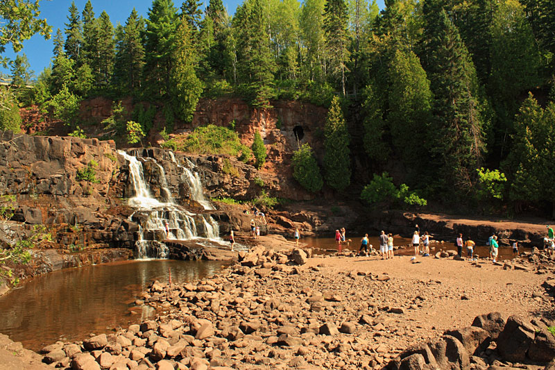
After checking out Upper Falls we headed down stream to the viewing area for Middle Falls.
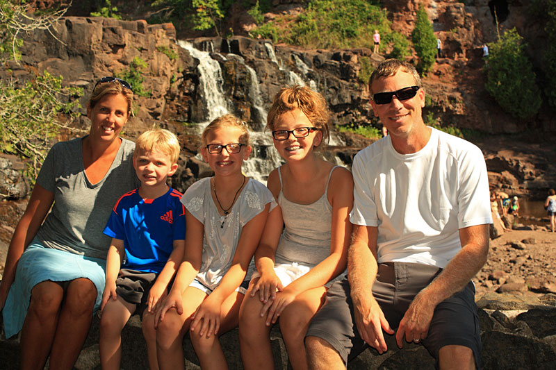
The mandatory family pic at Middle Falls.
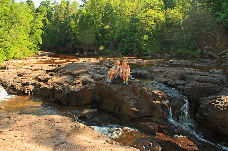
Scrambling across the rocks to Lower Falls.
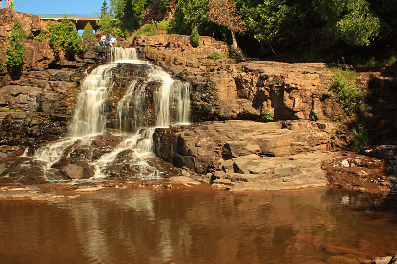
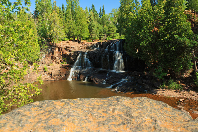
Lower Gooseberry Falls.
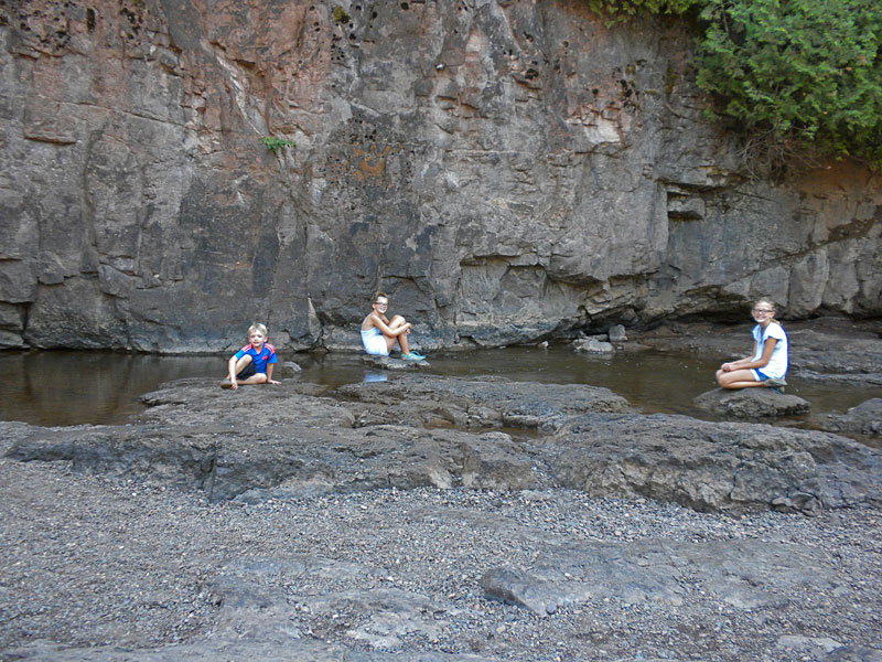
The kids found a cool spot in the shade to wait while I tried to take some photos.
We originally planned to do the ‘Five Falls Loop” as described in Hiking the North Shore: 50 fabulous day hikes in Minnesota’s spectacular Lake Superior region but after we got out we realized that with the heat and humidity it would be best just to explore the falls on the lower portion of this 3 mile loop.
After visiting the falls we walked back up to check out the visitor center. The shot above is looking out from the visitor center to the mouth of the Gooseberry River and Lake Superior. I forgot to get a photo of the building, but the State Park Visitor Centers on the North Shore were quite impressive. At Gooseberry Falls you will find an information desk, gift store, theater, interpretive displays and restrooms. We cooled off in the AC and watched the informational video and caught up on some emails on the free Wi-Fi.
Kayaking to Split Rock Lighthouse
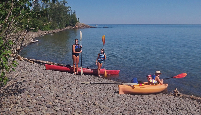
After lunch we decided to take advantage of the calm water to paddle below the Split Rock Lighthouse. We have been around Lake Superior enough to see how fast things can change and have learned to get out when the weather is favorable.
The carry-in access can be found at the Pebble Beach Picnic Area in Split Rock Lighthouse State Park. It is a carry of about 250 feet down a fairly steep hill to get to the water. We were glad that we had our kayak cart to help get the heavy tandem kayaks up and down the hill.
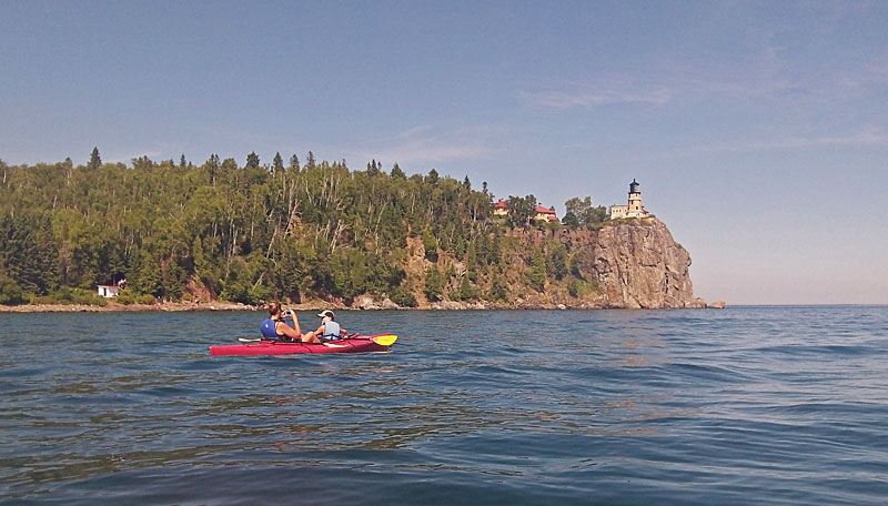
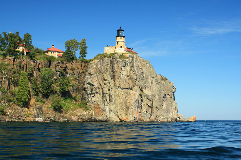
It is an easy paddle of just over a 0.5 mile to Split Rock Lighthouse.
I took my DSLR camera out on the water to try and get the classic Split Rock Lighthouse shot. Unfortunately, it was not as sharp as I would like with the motion of the kayak.
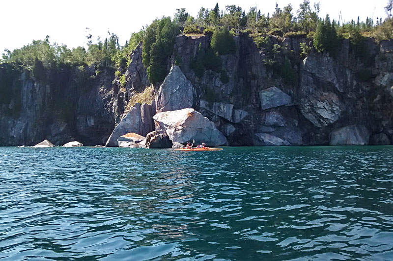
After checking out the lighthouse we continued around the corner for a ways to check out the cliffs and a shallow sea cave.
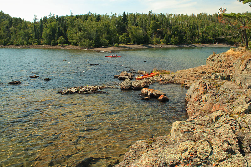
On the way back we paddled around Ellingson Island and then decided to land and explore the little rocky island.
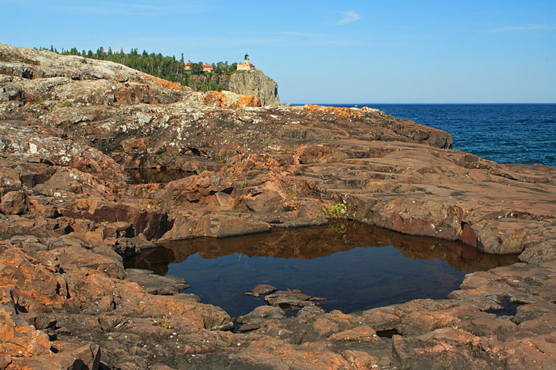
The Lake Superior side of the island slopes down the to water and there are lots of inlets and pools to check out.
We all cooled off with some swimming and rock jumping before making the short crossing back to the launch.
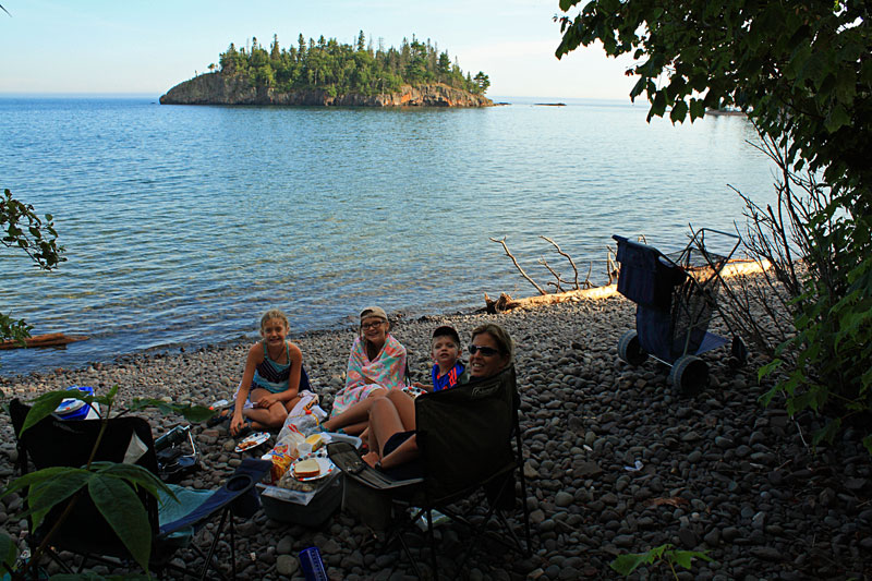
After putting away the kayaks we decided to stay and eat our dinner down by the water.
This kayak trip was the beginner part of a longer route on the Lake Superior Water Trail from: Guide to Sea Kayaking on Lakes Superior and Michigan: The Best Day Trips and Tours
Tettegouche State Park – Shovel Point Hike
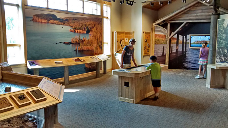
The next morning we drove over to visit Tettegouche State Park. Our fist stop was at the new visitor center. It is similar to Gooseberry Falls and has an interpretive area, gift shop, restrooms, lakeside patio, and enclosed front porch. After checking out the displays and filling our water bottles we headed out back to start the hike to Shovel Point.
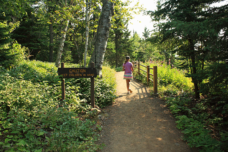
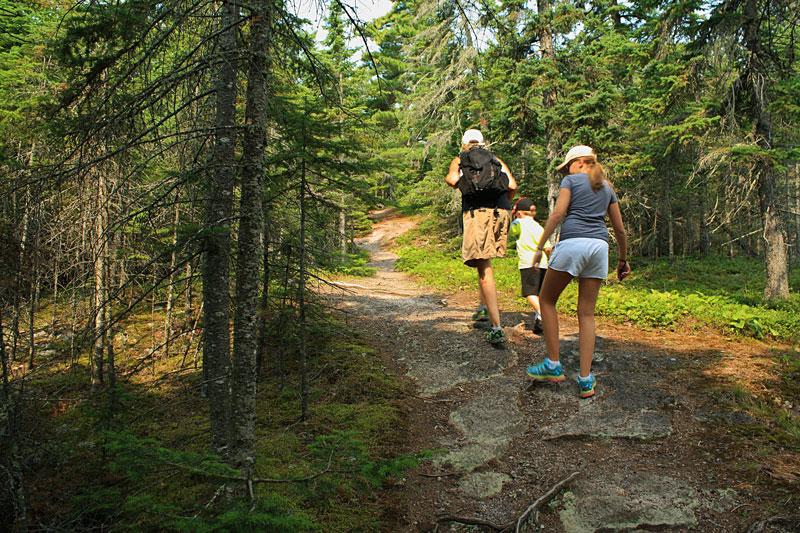
Something to make mom start worrying right at the start of the hike.
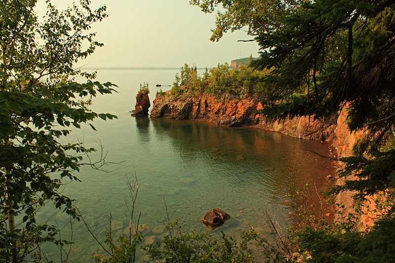
The first view was of the sea stack at the end of the point that was part of a stone arch until it collapsed in 2010.
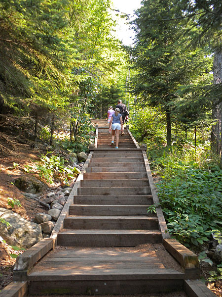
Climbing the stairs up to the top of Shovel Point.
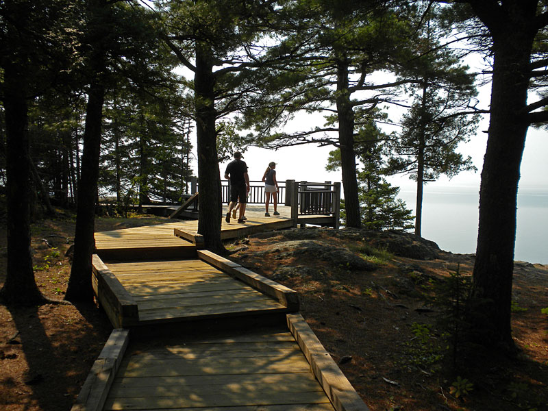
Approaching the first overlook deck.
The view of Palisade Head from the first overlook on Shovel Point.
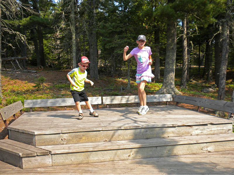
Putting on a show on the climber deck.
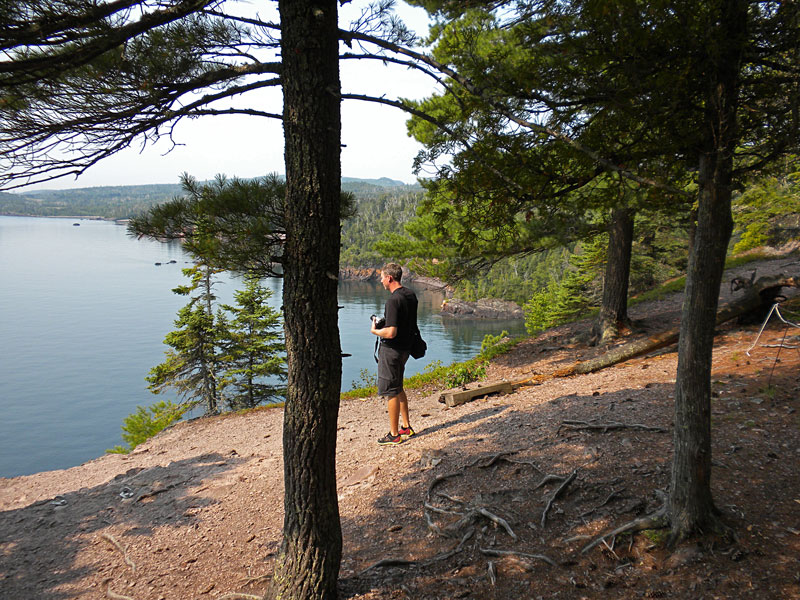
Looking over the edge. We saw a few rock climbers getting ready to rappel down the cliff.
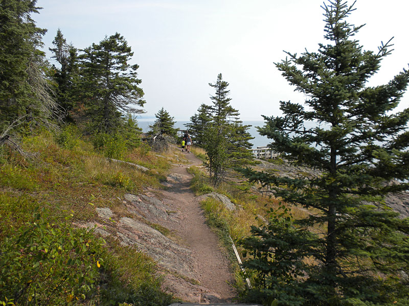
Continuing on toward the end of Shovel Point.
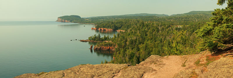
The panoramic view to the north from the overlook deck at the end of shovel point. Click the photo to view larger.
From the end of the point the trail loops back inland for a short section and then meets back with the trail main tail near the first overlook. You then return the way that you came up to complete the short lollipop loop. The entire hike is only 1.3 miles, but you will want to take your time to view all the scenery.
According to Andrew Slade in Hiking the North Shore, “This is the most dramatic shoreline trail on the entire North Shore.” We were definitely not disappointed.
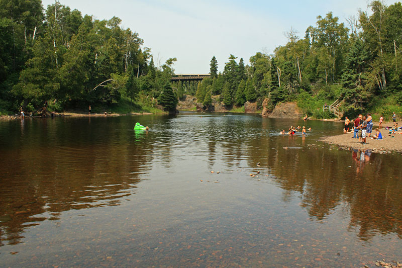
After Shovel Point we continued back past the visitor center and down to Lake Superior at the mouth of the Baptism River. It looked like this was a popular spot for swimming and cliff jumping.
Before moving on we took advantage of the new picnic shelter to eat lunch.
More Info:
Download the Tettegouche State Park map and brochure.
Tettegouche State Park website.
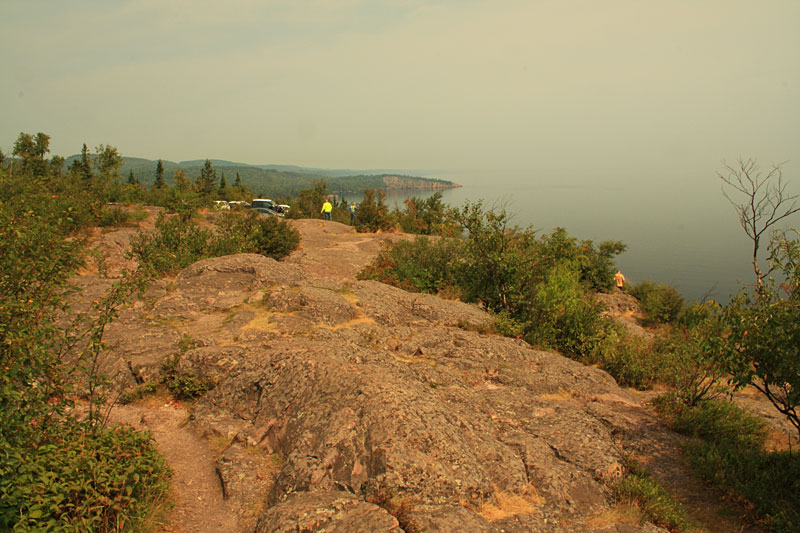
On the way back south we took the narrow and winding road to the top of Palisade Head. At the top there is a small parking area with room for about 15 cars right on the edge of the cliff.
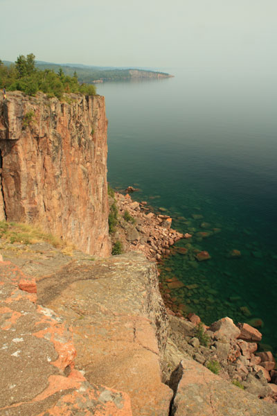
The view of Shovel Point from the top of Palisade Head.
Split Rock Lighthouse State Park
Our next stop for the day was Split Rock Lighthouse State Park. The visitor center and the Lighthouse grounds are operated by the Minnesota Historical Society. The visitor center has a big gift shop, museum and movie theater. The only access to the Lighthouse is through the visitor center which has an admission cost of $10 per adult and $6 for children. We kind of thought $38 for our family was a little steep, but we decided to still do it since we were there.
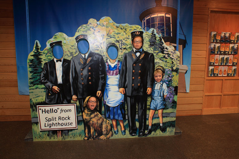
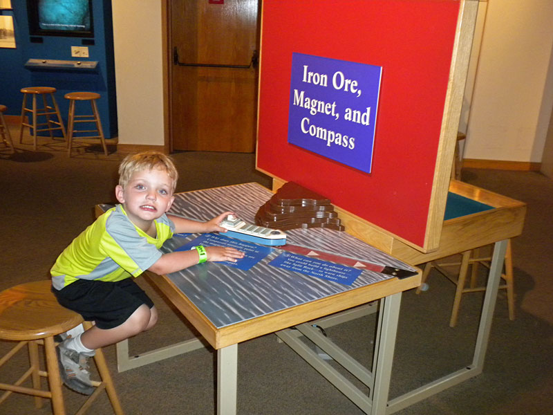
While waiting for the next video to start we checked out all the displays and artifacts in the museum near the theater. There were also a some nice hands on exhibits to keep the kids entertained.
The film was pretty good and showed the history of the Lighthouse, how it was built and the light keepers that served here.
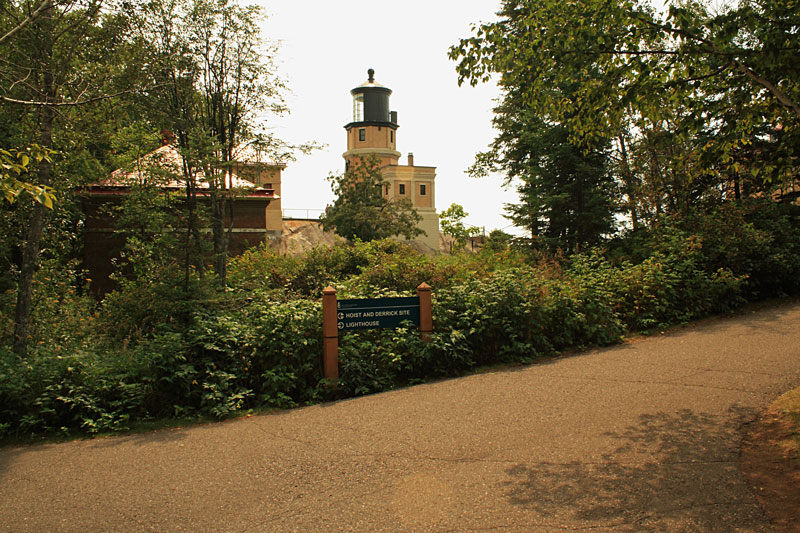
After the movie we went out the back of the visitor center to explore the grounds. There are guided tours included with the admission, but we decided to explore on our own.
Looking out to the south from the base of the Lighthouse tower. This was the shore that we paddled along the previous afternoon.
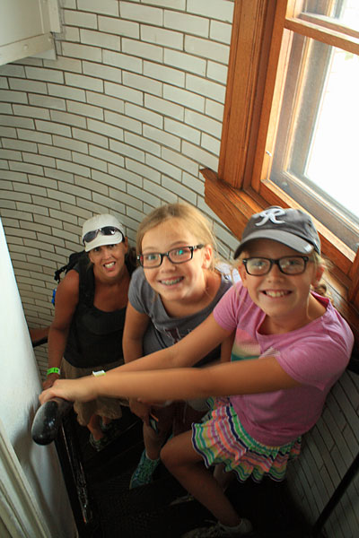
We waited in line for about 30 minutes to climb the tower. Honestly after climbing to the top of several different lighthouse towers back home in Michigan, this one was a little disappointing. Most of the lights that we have been in you can get up top by the big windows and some you can get even outside on the catwalk. Here you could only see the lens from beneath and the only view was out the small windows.
Although, the one thing that I should mention is that Split Rock Lighthouse is very well preserved and maintained both inside and outside.
Heading down the trail to the shoreline.
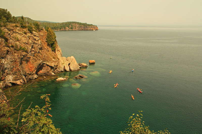
While walking back to the van we spotted this group of kayaks to the north of Split Rock Lighthouse.
Visiting Split Rock Lighthouse was a little pricey, but we think it is worth doing at least ounce while touring the North Shore. Next time we would skip the tour and explore more of the hiking trails in the Park.
More Information:
Minnesota Historical Society – Split Rock Lighthouse
Split Rock Lighthouse State Park
We spent the rest of the evening at our campsite and the temperatures finally cooled down enough for us to have our first campfire of the trip.
The next morning the weather was not great with scattered rain showers. We had a lazy morning drinking coffee and reading under the awning. By mid-morning we decided to drive down to Two Harbors to resupply on groceries before moving on to Grand Marais the next morning.
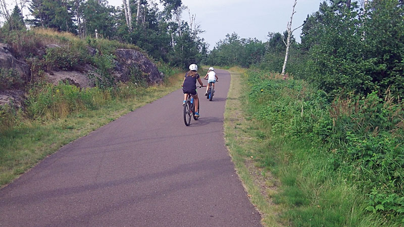
In the afternoon it cleared up and we went for a ride on the Gitchi-Gami State Trail. There is a trail access right in the Picnic Flow parking area in Gooseberry Falls State Park. We were able to walk our bikes down the hill right behind our campsite and pick up the trail. The 14.1 mile section from Gooseberry Falls to Beaver Bay is currently the longest paved segment.
From the Gitchi-Gami Trail Association: “When completed, the Gitchi-Gami State Trail (GGST) will be an 89-mile non-motorized, paved recreational trail between Two Harbors and Grand Marais, Minnesota, along Lake Superior’s beautiful and historic North Shore. Several segments of the trail, totaling over 29 miles, are complete.”
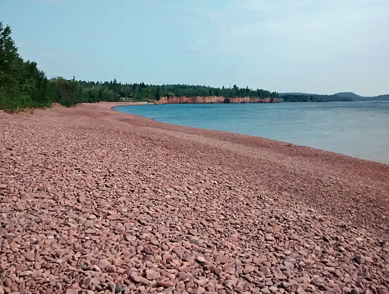
Our destination about 4.5 miles from Gooseberry Falls was Iona’s Beach Scientific Natural Area.
About Iona’s Beach from the MN DNR website: “Iona’s Beach SNA lies on a narrow strip of Lake Superior’s North Shore between Gooseberry Falls and Split Rock Lighthouse State Parks. This site is named after Iona Lind, former owner of Twin Points Resort (which previously occupied the current parking area).
Few beaches of significant size exist on the Lake Superior shore in Minnesota. This one begins at a northern shore cliff of pink rhyolite and felsite bedrock, and stretches over 300 yards nearly straight south to a cliff and headland of dark gray basalt. Prevailing storm winds and waves have gnawed slabs of pink rhyolite from the northern cliff, smoothed them into flattened pebbles or “shingles,” and tossed them down shore, high up on the beach, ultimately at the south end against the basalt formation. As the waves recede, the shingles come to rest with a tinkling sound unique to this beach.”
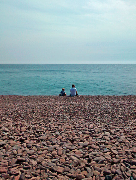
We spent about 45 minutes at Iona’s Beach exploring the cliffs on the south end, skipping stones and resting.
It was a tough ride back for the kids going into a stiff head wind. This section of the Gitche-Gami Trail had more climbing than our kids were used to back home, but overall it was a nice 9 mile ride.
More information and current trail conditions can be found at: Gitche-Gami Trail Association
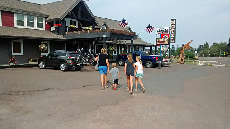
It was our last night in this area so we decided to visit Camp 61 Restaurant for dinner. This is just our kind of place, with a north woods atmosphere and good food at reasonable prices. More at: www.campsixtyone.com
In the morning it was time to pack up and head on up the North Shore toward Grand Marais, MN. We enjoyed our stay at Gooseberry Falls State Park and there is a lot to do in the surrounding area. There were several other longer hikes that we wanted to do, but because of the hot and humid weather we went with some of the shorter options. This visit was a good introduction and we will be back again.
Continue on with us to our next stop at Temperance River State Park >>

 Our Favorites:
Wonder Wheeler Beach Cart – Ultra Wide Wheels
Our family doesn’t mind walking a little further than the average person to find the perfect spot on the beach. That’s why the Wonder Wheeler comes with us on every trip, we use it all summer long! It can handle up to 100 lbs. and we don’t need to leave anything behind- beach chairs, boogie boards, 2 umbrellas, cooler of food and drinks, books, towels, everything you need to enjoy a long day at the beach. On sidewalks, boardwalks and hard packed trails the Wonder Wheeler pushes with very little effort. When you get to the soft sand, just turn it around and drag it behind you. The oversized wheels can handle the sand, no problem.
It also comes in handy when a picnic lunch is needed and so is the huge cooler full of food. The Wonder Wheeler makes going to the beach a breeze. The kids aren’t complaining about the walk because their hands are free and they can skip ahead and enjoy the day- and so can you. – MMT Mom
Find Wonder Wheeler Beach Carts on Amazon >>
Advertising Disclosure: We may receive a commission if you click a link on our site and purchase one of the products or services that we recommend.












Leave a Reply