Camping at the Hayward KOA and Devils Lake State Park, WI – August 20 – 23, 2015
After leaving the North Shore of Minnesota we spent the last 3 days of our trip working our way down through Wisconsin. We spent one night in Hayward and then two nights at Devils Lake State Park.
Most of this page is from our stay at Devils Lake with just a quick summary of our stop in Hayward at the beginning.
Hayward, Wisconsin KOA
It was only about a 3.5 hour drive from Grand Marais, MN to the KOA campground in Hayward, WI. We made a stop for lunch so it was mid-afternoon by the time we arrived. I decided to plan a stop here because it is close to the Namakagon Cluster of mountain bike trails. A few of these trails are recognized as “Epic Rides” by the International Mountain Biking Association.
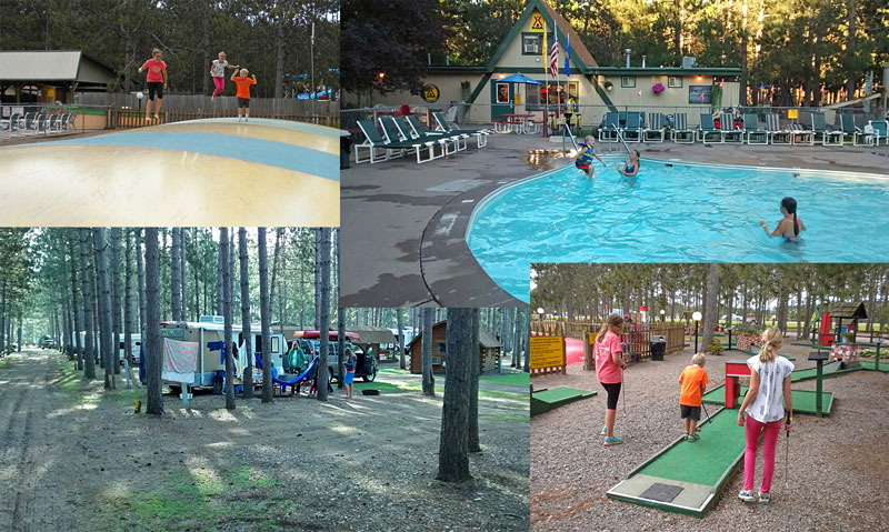
This was our fist time staying at a KOA and the kids thought it was the best thing ever. While they took advantage of the pool, mini-golf and jumping pillow I headed out to the trails.
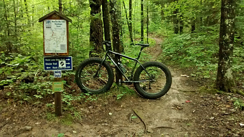
I decided to ride the 12 mile Rock Lake Trail. It was about a 25 minute drive to the trailhead which is located 7 miles east Cable, WI. The first part of this ride was relatively easy, but in the second half this trail really lives up to it’s name. By the end I was feeling pretty beat up after bouncing around on the rough and rocky trail on the full rigid fat tire bike.
The description on Chequamegon Area Mountain Bike Association page pretty much sums up the ride: “Unrelenting hilly terrain over moderately technical trails through deep forest with many wilderness lakes. Lots of climbing and contoured trail. Two cut offs for shorter ride. Hildebrand Lake Loop of 3 miles is the most technical of all the CAMBA trails.”
With all the technical trail and climbing it was a fairly slow ride that took me almost 1:45 to complete. Overall it was a good ride and I am glad I got to do it. Although, I would recommend a bike with at least some suspension.
Devils Lake State Park, Wisconsin
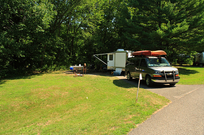
We took our time the next morning and let the kids have a little more pool time before leaving Hayward and heading down to Devils Lake State Park. It was about a 4 hour drive and it was late in the afternoon by the time we were settled into our spot in the Quartzite Campground.
About Devils Lake State Park from the WIDNR: “Founded in 1911, Devil’s Lake is the third oldest state park in Wisconsin, the largest and the most visited. Devil’s Lake offers magnificent views from 500-foot quartzite bluffs overlooking a 360-acre lake. Enjoy lakeshore picnic areas, sandy swimming beaches, 29 miles of hiking trails or ease into the backcountry solitude. Devil’s Lake is a beautiful year-round park with an intriguing natural history along the 1,000-mile Ice Age National Scenic Trail.”
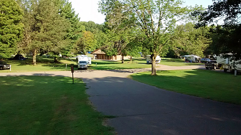
The Quartzite Campground is in a mostly open and grassy area with some bigger shade trees scattered throughout. This area was a golf course from from 1922 to 1961 before being converted into a campground in 1962. There is nice new bathouse in the middle of the loop that services the entire campground.
Devils Lake has 3 different campgrounds with a total of 423 campsites. There is a nice campstore in the Ice Age campground that has groceries, camping supplies, ice, firewood and souvenirs. We were surprised to even find a nice selection of Wisconsin made mico-brews in the campstore.
More Devils Lake camping information and reservations.
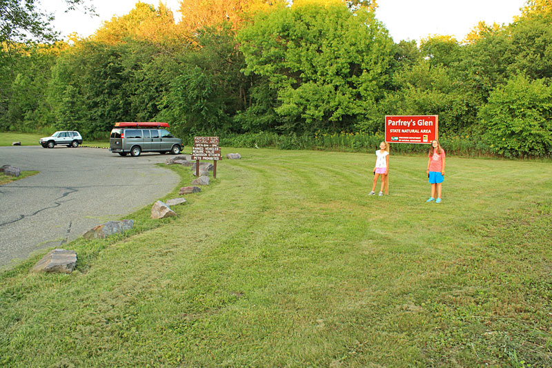
Parfrey’s Glen State Natural Area
After dinner we drove 4 miles east of the State Park to visit Parfrey’s Glen Natural Area.
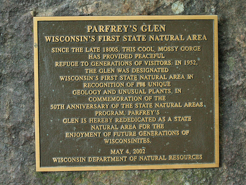
Parfrey’s Glen has the distinction of becoming the first Wisconsin Natural Area in 1952.
We learned that a “Glen” is a Scottish word for a narrow, rocky ravine.
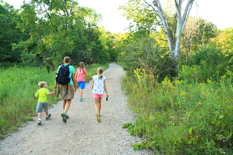
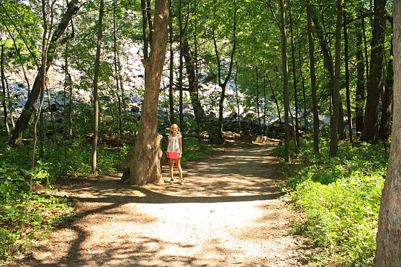
The hike to the Glen starts out on a wide gravel path.
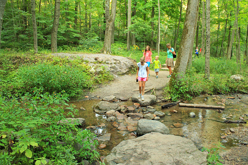
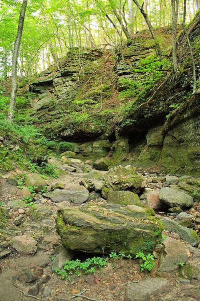
As you enter the forest the trail parallels Parfreys Glen Creek and then you come to the first rocky stream crossing.
After crossing the creek the canyon walls start.
The second creek crossing is a little more difficult. At one time there were bridges and walkways leading back into the gorge, but they were wiped out several years ago by flooding. As you get further into the canyon you can see how powerful these floods must have been and why they chose not to rebuild.
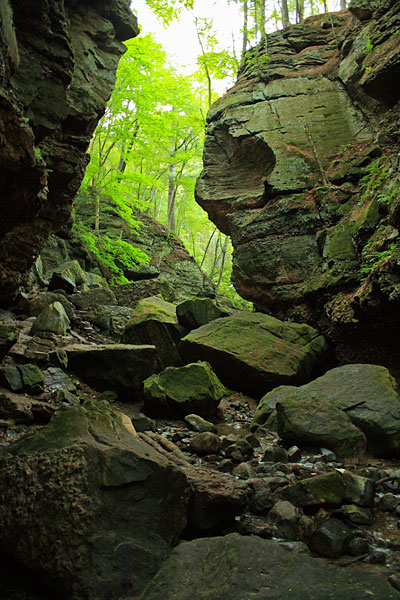
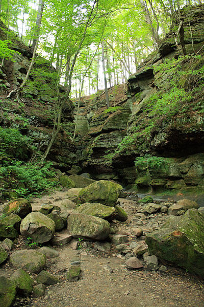
After the second crossing the canyon starts closing in on you. The walls are mostly made of sandstone which allows water to seep through. The dark, wet and cool environment is perfect for growing all the moss that you see.
From here is basically a rock scramble as you continue deeper into the glen. It is pretty impressive to see the size of some of the boulders that were pushed around by the flood waters.
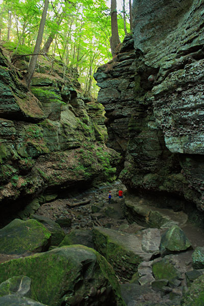
The hikers in this photo give a perspective of the depth of the canyon. The tallest point is said to be 100 feet above the creek.
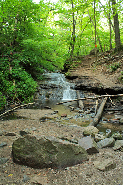
After 0.8 miles the canyon ends and you come to small waterfall. This is the turnaround for the hike as visitors are not allowed past this point of the Natural Area.
Looking back one more time on the way out.
The total hike is 1.6 miles. The first half is really easy, but as you get further into the glen it becomes more difficult scrambling over boulders. If the water was much higher we would have had wet feet. Sandals may be a good to choice for this hike, just watch your toes on the rocks.
More on Parfrey’s Glen Natural Area.
Balanced Rock and Devil’s Doorway Hike
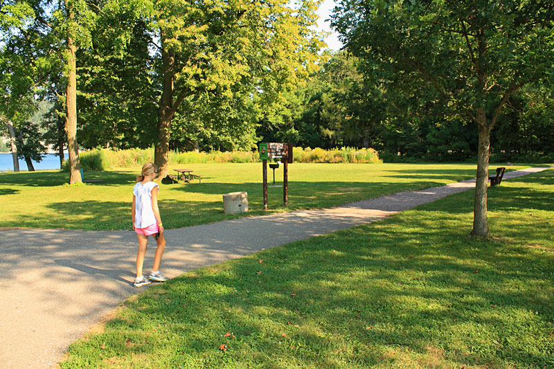
The next morning we drove over to the parking area on the south shore of Devil’s Lake. This is the trailhead for the hike to Balanced Rock and Devil’s Doorway. The hike starts on the paved path by the lake and crosses the train tracks to the northeast.
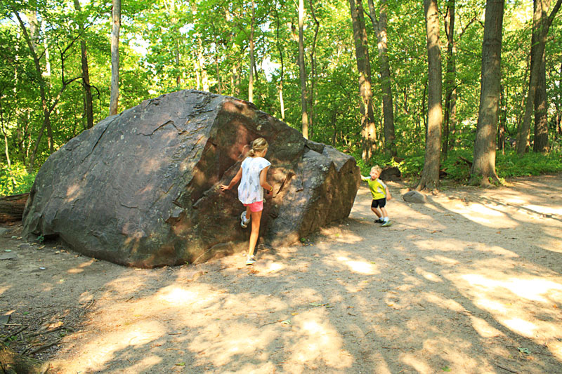
A big boulder near the start of the trail.
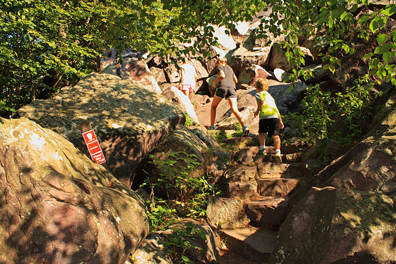
Soon you start the climb up the Balanced Rock Trail.
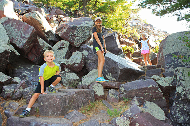
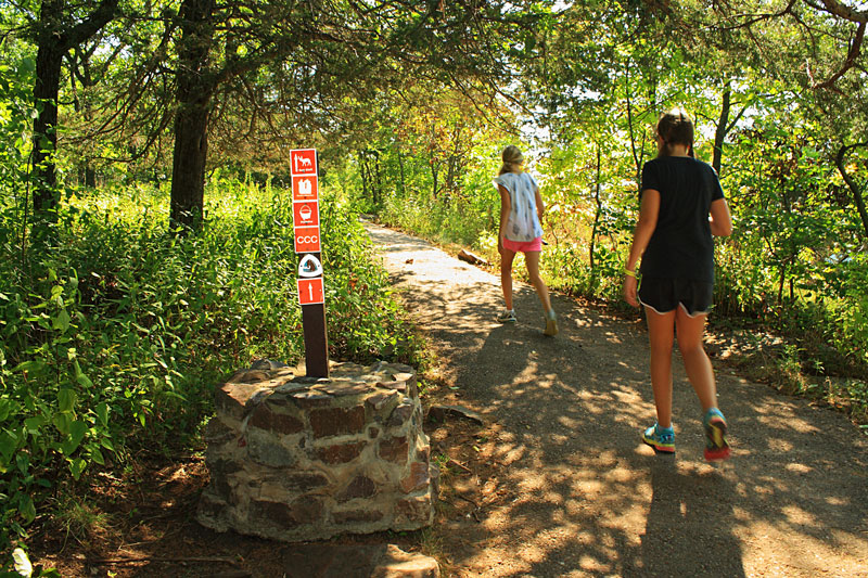
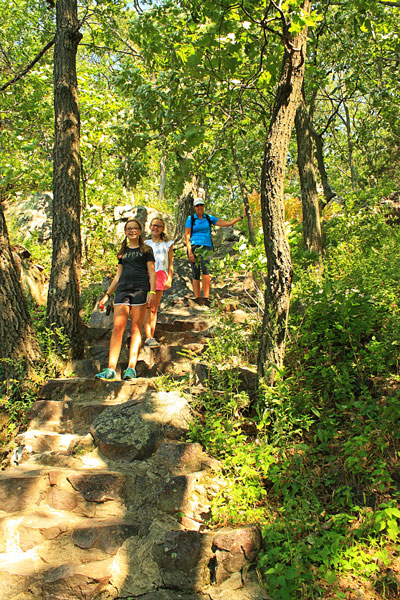
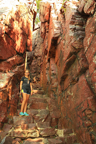
The tail is a rocky staircase made from squarish quartzite blocks. It is pretty impressive how the CCC (Civilian Conservation Corps) crews built these trails up through the talus slope.
All of the trails are well marked and easy to follow.
A steep section about half way up. We had to hold our little buddy’s hand pretty tight most of the way.
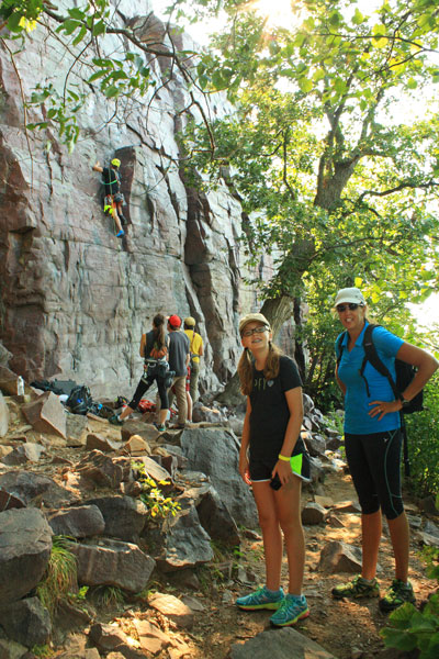
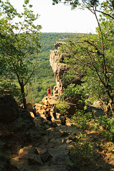
Rock climbers on the cliff below Balanced Rock.
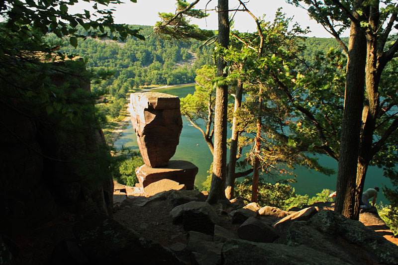
About 3/4 of the way up there is a 100 foot long spur trail that leads to Balanced Rock perched on the edge of the cliff.
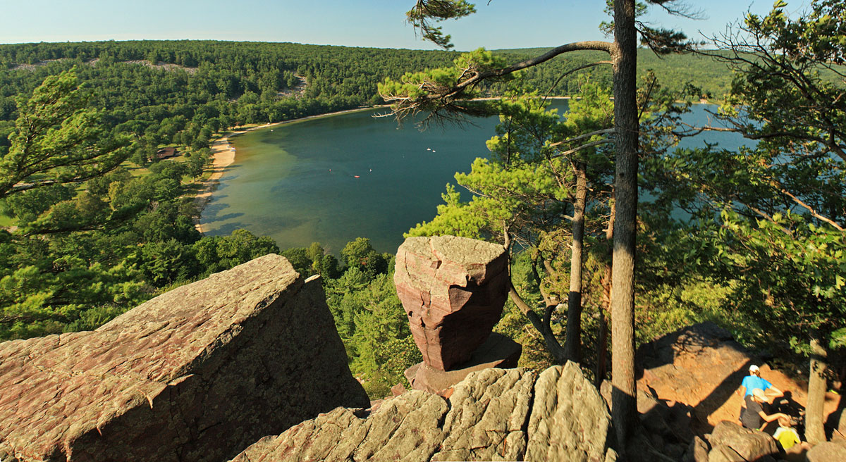
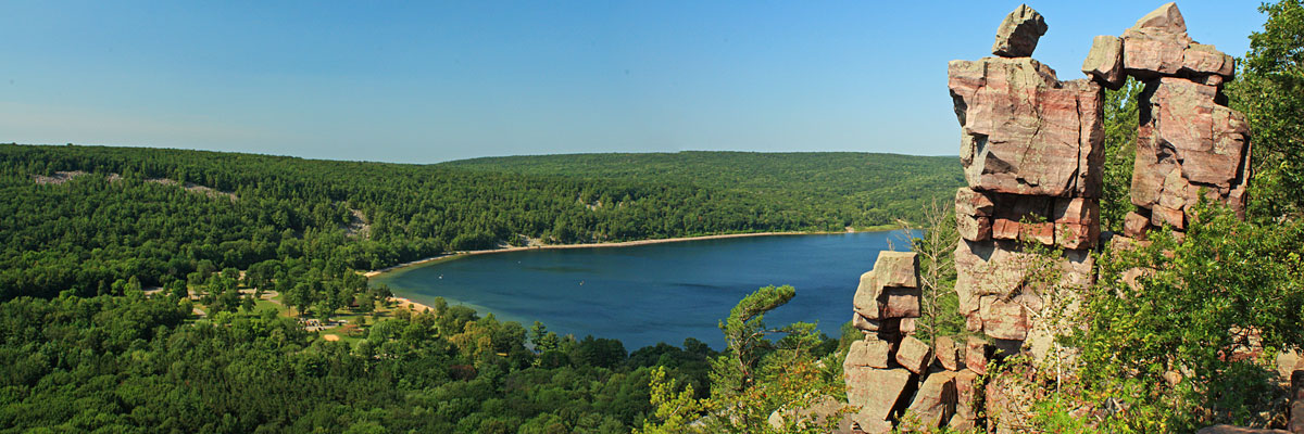
The scenic view of Devil’s Lake from above Balanced Rock.
After visiting Balanced Rock we continued climbing until we reached the junction with the East Bluff Trail almost 500 feet above Devil’s Lake. After a short break at the top we continued to the east.
After a short walk up on the bluff we dropped down the spur trail to Devil’s Doorway.
Devil’s Doorway had people crawling all over it when we arrived, but I did manage to finally get a shot of the rock formation without anyone in it.
The Devils Doorway Trail is only 0.1 miles and loops right back up to the East Bluff Trail.
We took the East Bluff Trail to Potholes Trail and started down more steep rocky stairs.
The highlight of the Potholes Trail is passing through a narrow slot in the red colored rock.
Our legs were all pretty shaky by the time we made back down to the bottom at the junction with the Grottos Trail. From here it was an easy 0.3 mile walk back to the parking area along the base of the East Bluff.

Our route was just under 1.5 miles, but after climbing and descending 500 feet it felt a lot longer. With the scenic views and 3 interesting rock formations it was one of our favorite short hikes that we have been on.
For more on the hiking in Devils Lake State Park see: Hiking Wisconsin: A Guide to the State’s Greatest Hikes (State Hiking Guides Series)
After the hike we stayed at the South Shore picnic area for lunch. Supplies were running low on the last day our trip so we had Wisconsin cheese curds, summer sausage and crackers.
After eating we walked over to the South Beach concession for ice cream. In addition to snacks and souvenirs the store also rents rowboats, paddleboats, kayaks and canoes.
The view of Devils Lake from the South Beach.
Click on the photo to see the larger version.
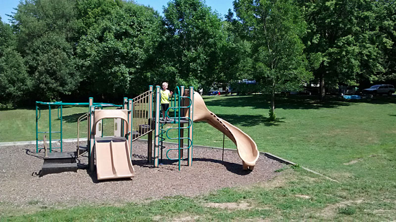
We planned to go to the beach for the afternoon, but growing up in West Michigan we are kind of beach snobs. After our hike the parking lots at the South Beach area were starting to fill up and cars were lining up to get in. We decided that we did not feel like fighting the crowds so we spent the after at our campsite reading, riding bikes and visiting the playground in the middle of the campground loop.
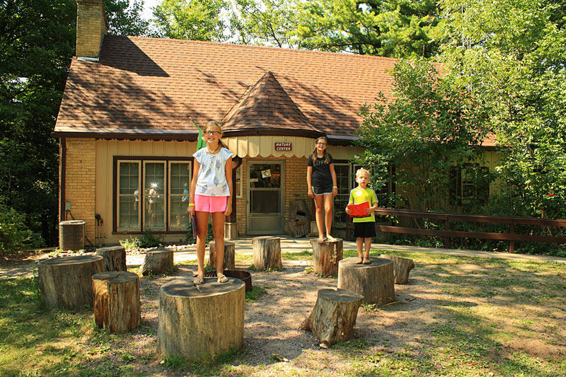
Later in the afternoon we decided to walk up the hill at the south end of the Quartzite Campground to the Visitor Center.
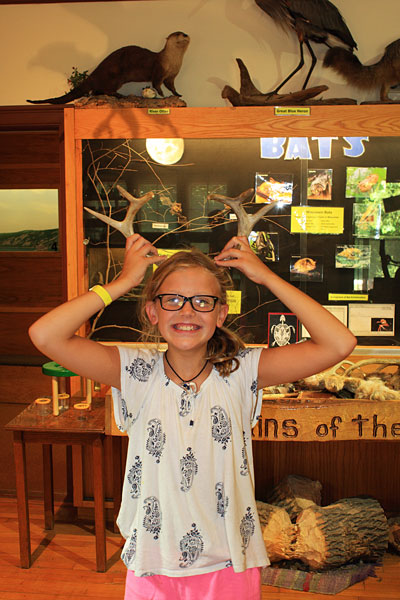
The 1st floor of the nature center had hands on displays about the animals and geology of the area for the kids. We enjoyed all the historic photographs in the lower level.
More on the Nature Center in the Devils Lake State Park webpage.
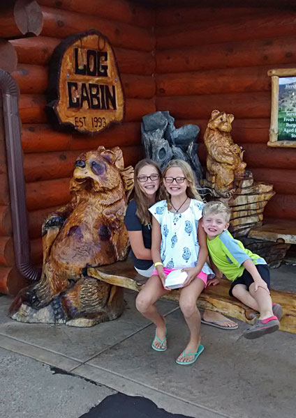
For dinner we drove into Baraboo and found the Log Cabin Restaurant and Bakery. It was a recommendation from relatives that live in the area, and it was really good. The menu had a nice selection of homemade entrees and deserts. They must be doing something right because the Log Cabin has served over 1,000,000 pieces of pie in the 20 years they have been open.
We spent the rest of the night catching up with Kim’s cousin’s family around the campfire. The forecast for Sunday was looking stormy so we planned an early departure to try and get ahead of the rain. Even with the early start we had heavy rain most of the way until rounded the bottom of Lake Michigan and turned north toward home.
We enjoyed our stop at Devils Lake State Park and wished we had more time to explore more of the hiking and biking trails.
-The End-
Our Favorites: 
prAna Zion Stretch Shorts
The prAna Zion Stretch shorts are without a doubt the best shorts I have ever owned. I already have 3 colors and now that they started making them in black, I will soon be up to 4. I originally bought them for hiking, but now I wear them for just about everything. Add a liner short and they become the perfect baggy mountain biking shorts. Need something to wear into town for dinner? No problem.
Find prAna Zion Stretch Shorts on Amazon >>
Advertising Disclosure: We may receive a commission if you click a link on our site and purchase one of the products or services that we recommend.








Leave a Reply