Camping at the Grand Marais RV Park and Campground – August 17 – 20, 2015
We took are time heading north after leaving our campsite in Gooseberry Falls. It was another warm and sunny afternoon on the North Shore when we arrived at the Grand Marais RV Park and Campground.
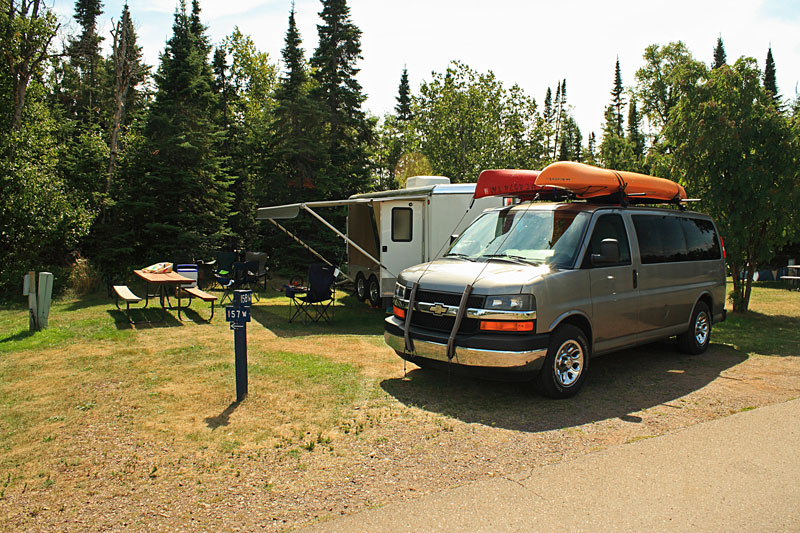
We made quick work of getting setup in site 158 in the Grand Marais Campground. The sites here are all pretty tight and out in the open. This is not the place to go if you are looking for seclusion. In Camping the North Shore, Andrew Slade writes: “This isn’t just a campground, it’s a neighborhood. Many of the sites nearest the
office are long-term rentals and outside these trailers are flower gardens and serious lawn furniture. “Residents” even pickup their mail at the office.” After reading this we knew what we were getting into here, but location is hard to beat. The campground is right on the beautiful Grand Marais Harbor and Lake Superior. It is also within waking distance to the downtown area with unique shops and restaurants. All of this makes it a perfect base camp for exploring this part of the North Shore.
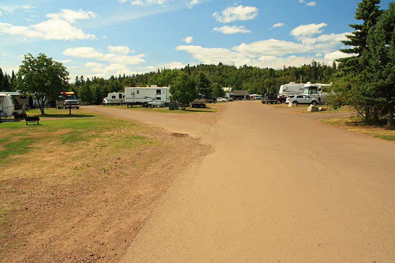
Looking up the road toward the bathhouse. There are 300 total campsites. 161 full hookups, 82 electric and water hookups and 57 primitive campsites. The campground is serviced by 4 bathhouses with hot showers and flush toilets.
More information and reservations at: grandmaraisrecreationarea.com
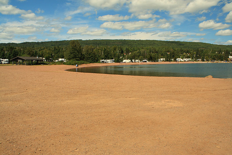
The rocky beach just up the road from our campsite on the Grand Marais Harbor.
After setting up camp we took a walk to check out the campground area.
Looking out along the west breakwall.
Click on any of our panoramic photos to view a larger version.

The view from the end of the breakwall looking back toward campground with the Sawtooth Mountains on the horizon. Climbing over the rocks just to get out to the start of the breakwall was a mini adventure.
Looking across the harbor entrance toward the Breakwater Light and Artist Point. Visiting Artist Point was one of the things on our list, but we did not make it over there on this visit.
After dinner we went into town check out the shops.
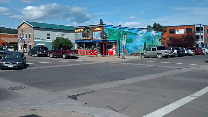
The famous Beaver House tackle shop.
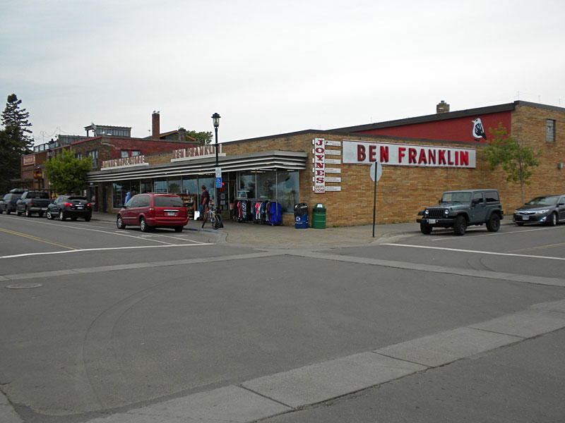
One of our favorite stops was the Ben Franklin Store. This had a little of everything and really felt like you were stepping back in time. We even went back later in the week to get some new school shoes for Reid.
Here is the description from their website: “So just what a does a 5 and dime sell? Way more than you’d think! Joynes Ben Franklin houses an amazing variety of clothing, footwear, camping supplies, housewares, books and souvenirs, hardware, crafts, wild rice, Canadian jams and toffee, backpacks, stationery, knives, watches, health and beauty items, candy, games, toys and that thing you meant to pack but forgot.”
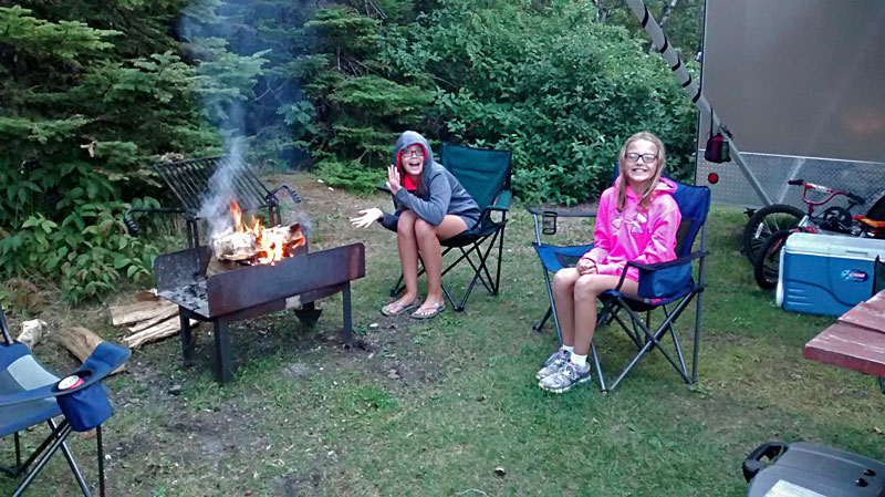
Back at the campground they had one of the most interesting fire pits we have ever seen. It was actually kind nice for warming your feet underneath it when it cooled down. Although, we did have a log almost shoot out the open end later in the evening.
The Gunflint Trail and Boundary Waters Canoe Area
The weather forecast was not looking good for the second half of our stay in Grand Marais so we decided to bump up our plan to visit Boundary Waters Canoe Area by a day.
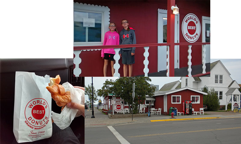
We got an early start and made a quick stop at the World’s Best Donuts on the way out of town. The donuts were pretty good, but being the best in the world may be a little stretch.
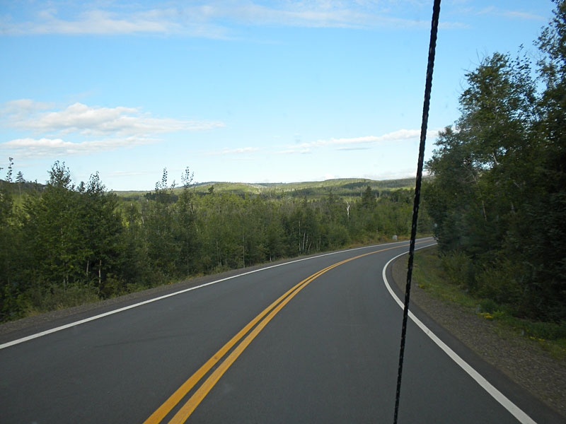
With some fresh donuts and coffee we started heading up the Gunflint Trail. Our destination was Sea Gull Lake all the way at the end of the road.
From visitcookcounty.com: “The Gunflint Trail National Scenic Byway begins in Grand Marais and winds 57 paved wilderness miles northwest near the border of Canada. It’s the gateway to the Boundary Waters Canoe Area Wilderness/BWCAW; named one of the world’s “50 places of a lifetime” by National Geographic.”
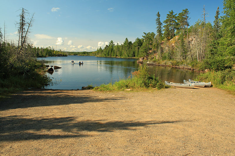
It took us about 1.5 hours to get to the boat launch at Trails End Channel on Sea Gull Lake.
At the end of the Gunflint Trail the road goes in a 0.75 mile loop. The western half of the loop has the Trails End Campground with 32 rustic campsites. On the top of the loop you will find The Way of the Wilderness Outfitters and Trails End Cafe. The Sea Gull Lake boat launch is down on the south part of the loop. The parking area is about a 300 yard walk from launch. There is a pit toilet near the parking area and several others in the campground. Drinking water can also be found near campsite #14.
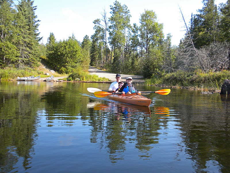
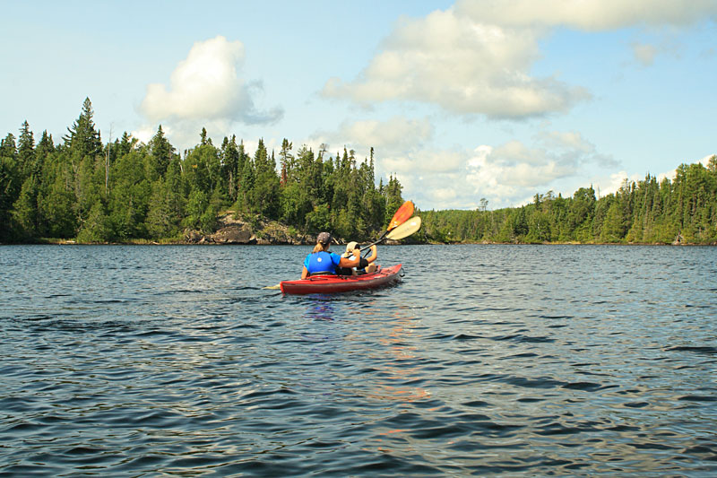
Pushing off into Trails End Channel.
The channel is about a 0.5 mile long and is connected to Sea Gull Lake by a narrow outlet.
Sea Gull Lake is large covering an area of about 4,000 acres. There are over 100 islands that are at least 1 acres in size and many other smaller islands and channels to explore. The eastern part of the lake is not in Boundary Waters and motorized boats are allowed. With all of the islands and channels, a good map, compass and GPS are musts when paddling here.
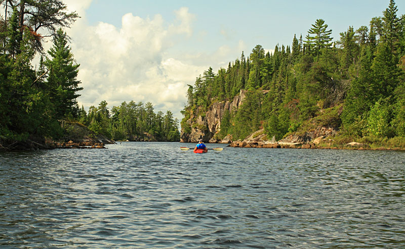
Approaching the Palisades.
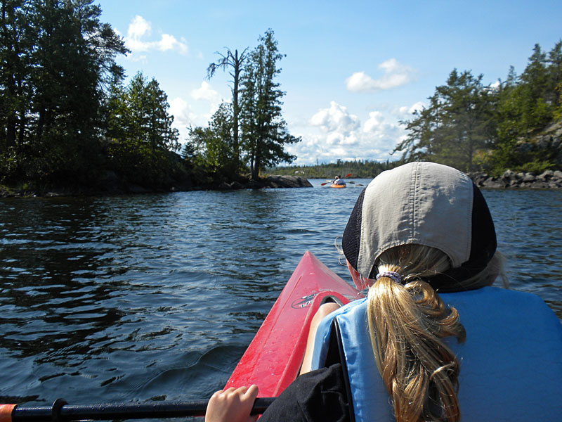
After exiting Trails End Channel we turned to the west and crossed some open water. Then we followed the first channel to the southwest and continued weaving around some small islands until we got to the big rock cliffs about 2 miles from the launch.
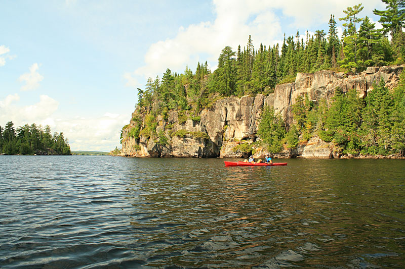
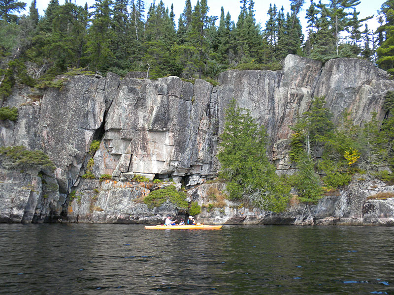
Paddling along the base of the Sea Gull Lake Palisades.
We continued around the corner past the Palisades for little ways and then turned around and paddled back along the base of the cliffs a second time.
With the main goal of our trip complete, we explored more of the islands and coves while circling back in the general direction of the launch.
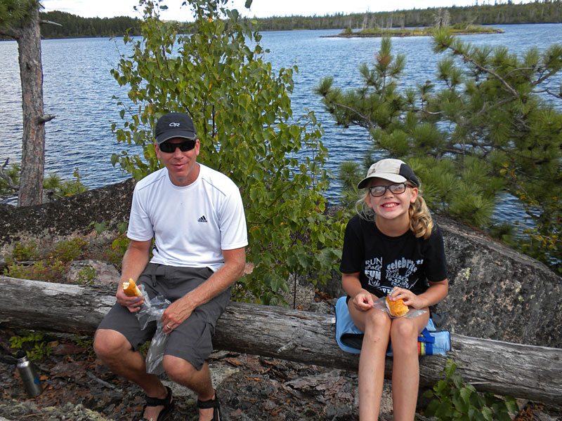
Back near the open water we found a small island to pull up on for a lunch break.
The view from our lunch spot. By afternoon the clouds from the coming weather system were starting to move in.
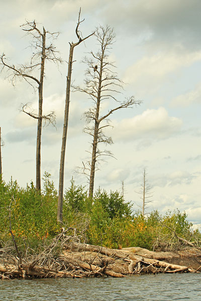
After eating we took it easy and did a little more exploring before heading back. We didn’t see any seagulls, but we did paddle by this eagle. He squawked at us a couple times, but he did not flush from the tree like they usually do when we see them back home in Michigan.
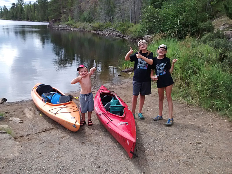
Everyone gave paddling in Boundary Waters a thumbs up. Our total distance paddled was between 5 and 6 miles and we spent about 3.5 hours out on the lake including our break.
I picked up a couple different books on BWCA, but they are mostly geared toward multi-day canoe trips. However, I did find the idea for this day paddle in: 20 Great BWCA Trips: Exploring the Boundary Waters Canoe Area.
After packing the kayaks up we headed up to the Trails End Cafe at The Way of the Wilderness Outfitters for some drinks and a snack. We found a cool little store with canoe camping supplies next to the restaurant. We saw some people out on the deck eating a late lunch as we walked up. We waited around for about 10 minutes, but there was not anyone at the store or restaurant to help us. Finally, just decided to move on.
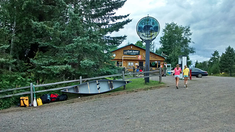
We drove back about 45 minutes and then stopped at the Trail Center Lodge. There have almost everything you need here including gas, lodging, restaurant and convenience store. This ended up working out good because by the time we got here everyone was getting hungry so we decided to have an early dinner. The food was really good and they have a unique north woods setting.
At the time of our visit they we ranked as the #3 restaurant in Grand Marais on TripAdvisor and they are about 45 minutes out of town. Several people said it was well worth the drive and we would agree.
Back in Grand Marais it looked like we had just enough time to take a walk into town before the rain was going to hit.
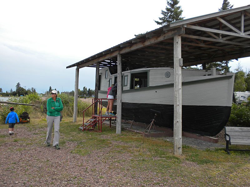
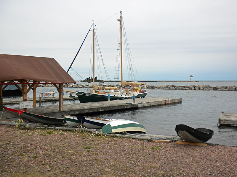
Checking out an old fishing boat along the harbor on the way to town.
I want this…
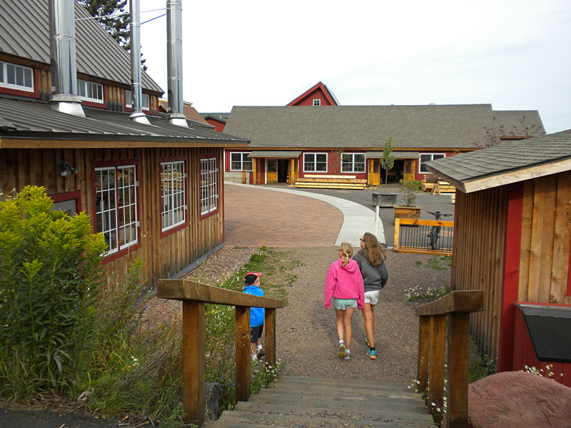
In between the campground and downtown the path goes through the North House Folk School. This looks like an interesting school that teaches Traditional Northern Crafts including blacksmithing, boatbuilding, basketry, woodcarving, sailing and much more.
We checked out the school grounds and some of their boats by the water.
A cool wooden dory with some working fishing boats in the background.
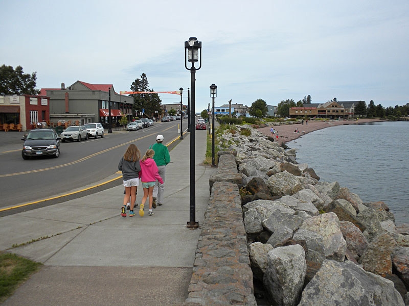
Walking along the water towards town. We checked out a couple stores that we missed on our first visit and then the kids had some money to spent at the souvenir and junk shop.
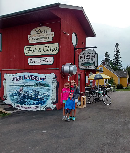
Since we had an early dinner, we stopped at the Dockside Fish Market on the way back and picked up some smoked whitefish dip for later. They also served some good looking fish-n-chips baskets and sandwiches.
Back at the camper we got in about an hour of campfire time before the rain sent us into the camper for the rest of the evening.
Devil’s Kettle Waterfall Hike at Judge C.R. Magney State Park
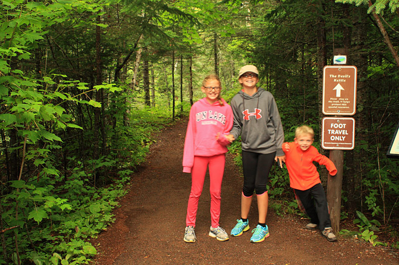
The next morning there was a break in the rain so we drove 15 miles north to Judge CR Magney State Park to hike the Devils Kettle Trail.
About Magney State Park from the MNDNR website: “Come for the quiet, the solitude, and the famous Devil’s Kettle waterfall. The most popular hike leads from the trailhead upstream along the Brule River to Devil’s Kettle, where the river splits around a mass of volcanic rock. Half of the river plunges 50 feet into a pool, while the rest pours into a huge pothole. Anglers can catch brook and rainbow trout in the Brule River or its tributary, Gauthier Creek. The park offers camping, picnicking and hiking.”
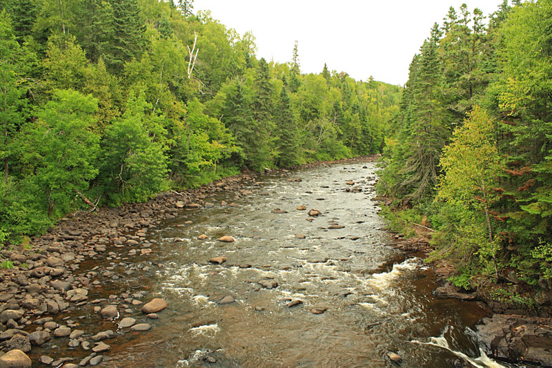
The hike to Devil Kettle Falls starts by crossing a foot bridge over the Brule River.
After crossing the bridge the wide trail follows along the east bank of the river.
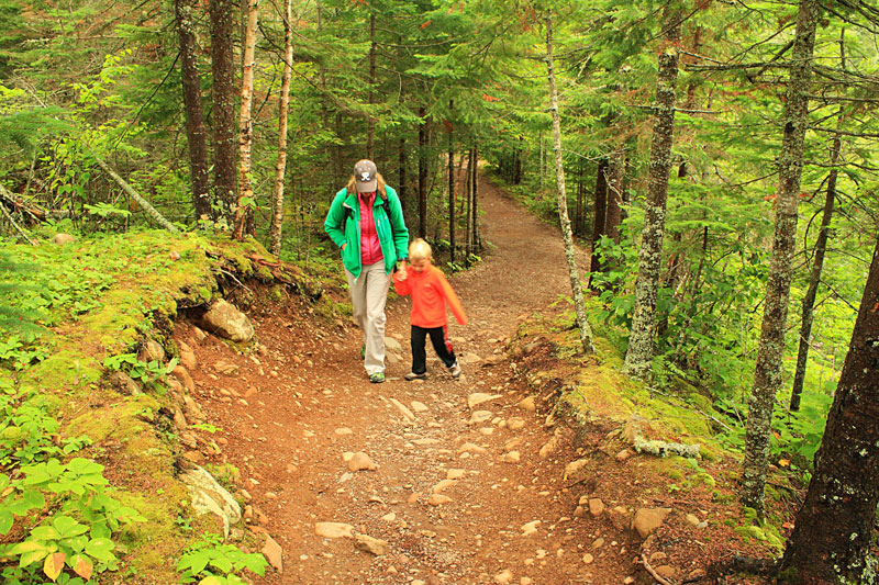
The trail gradually climbs up higher along the edge of the river valley.
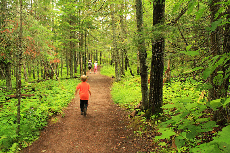
Hiking through the nice fir forest.
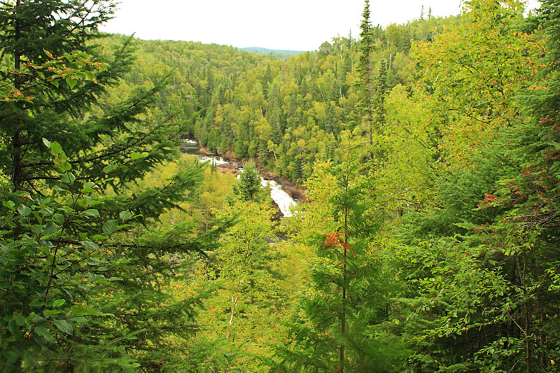
At the 0.75 mile mark you top out at the Upper Falls overlook.
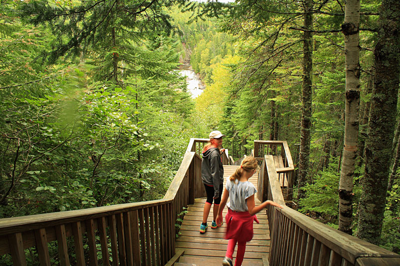
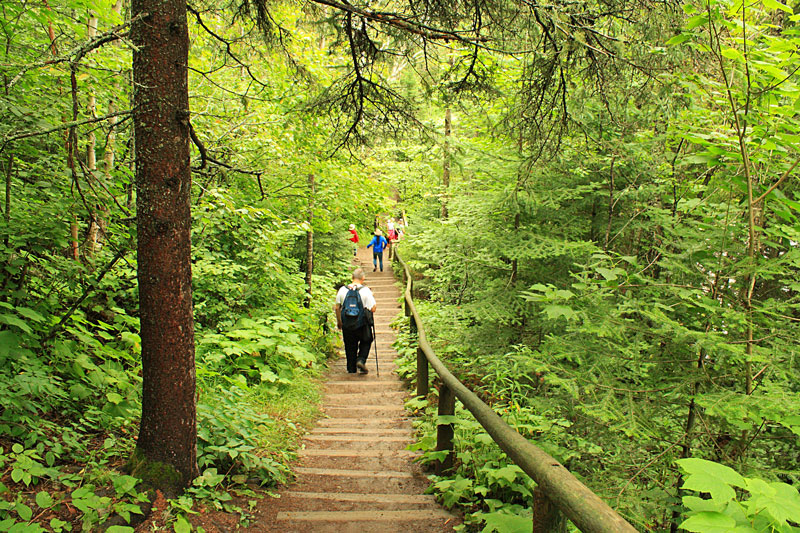
After the overlook you start descending a long section of stairs down to Upper Falls.
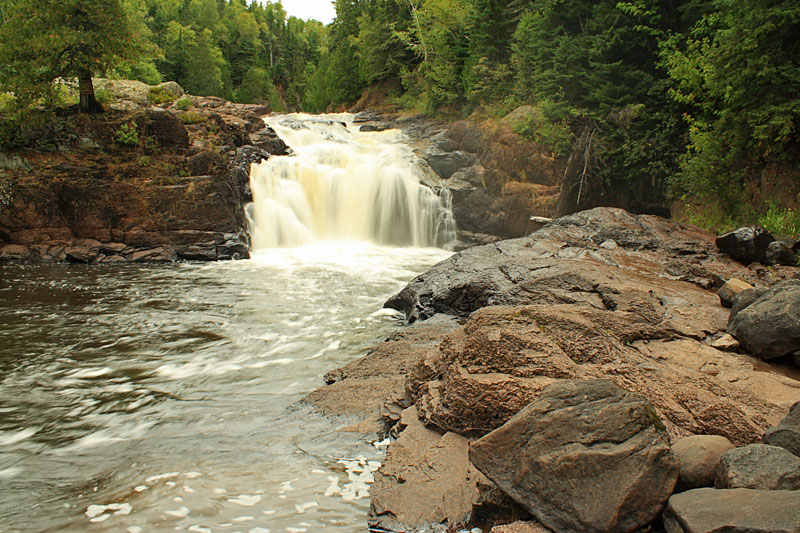
At the bottom of the stairs a short spur trail leads to the base of the Upper Falls. I am not sure why this is named Upper Falls when it is actually below Devils Kettle Falls.
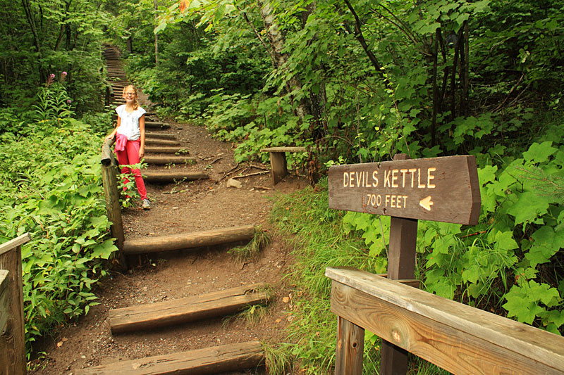
After seeing Upper Falls it is a 700 foot climb up to the viewing area for Devils Kettle Falls.
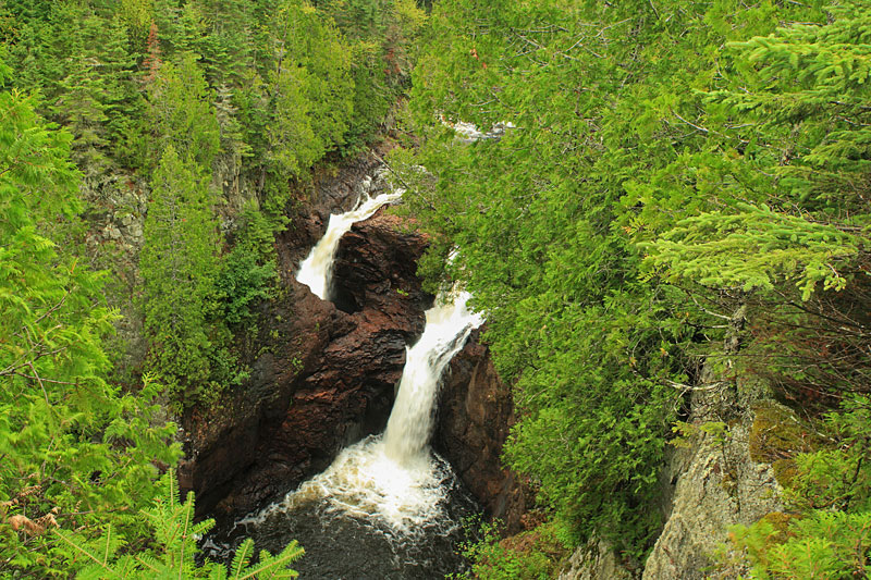
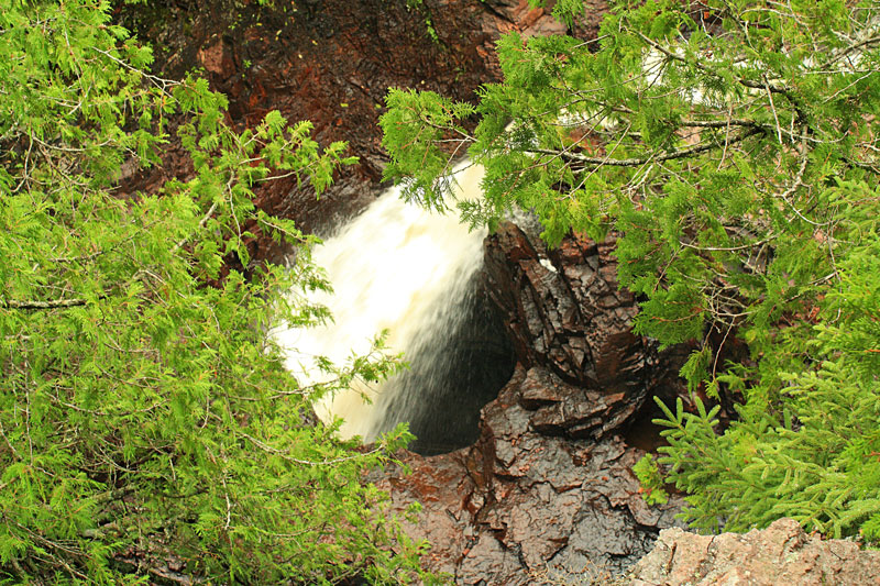
At Devil Kettle Falls the Brule River splits into two parts. Half of the water tumbles over a 50 cliff and continues downstream. The other half drops into a large bottomless pot hole. According to the book 61 Gems on Highway 61: A Guide to Minnesota’s North Shore it is a mystery where this water goes. Over the years people have tired sending semi-buoyant floats and even dye down into Devils Kettle, but nothing was ever found again. It is thought that the water somehow makes its way out into Lake Superior through underground passages, but the location has yet to be discovered.
It is one one of the most interesting falls that we have been to and definitely worth stopping to check out if you are in the area.
Looking down into Devils Kettle from the second viewing area.
We were starting to hear thunder in the distance so we started heading back at a little quicker pace. We had to get our rain coats out for the last 1/4 mile, but we timed it perfect and made it back to the van just as the heavy rain started. The hike to Devils Kettle and back is about 2 miles total. The trail itself is wide and easy, but all the steps make this hike moderately difficult.
Judge Magney State Park Map and Brochure.
For more on this hike and others in the area pick up a copy of: Hiking the North Shore: 50 fabulous day hikes in Minnesota’s spectacular Lake Superior region.
It was looking like it was going to be a rainy afternoon so we decided to just continue driving north on Highway 61 toward the Canadian border.
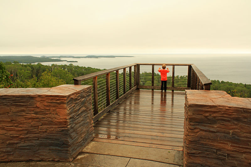
Our next stop was at the Wayswaugoing Bay Overlook pull-off.
The panoramic view of Wayswaugoing Bay.
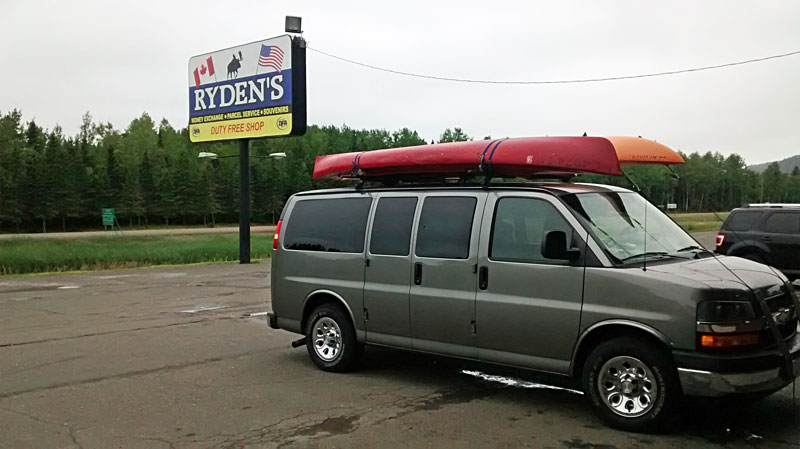
The final stop before the border is Ryden’s Border Store and Duty Free Shop. This place has a little bit of everything from convenience store items to souvenirs and clothing. At first the kids were really excited to see all the aisles of toys and keepsakes, but after making several laps around the store we only ended up with some drinks and snacks for the drive back.
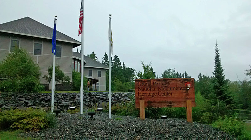
We remembered reading about the Grand Portage National Monument and Heritage Center in the 61 Gems on Highway 61 book. When we saw the signs for this on the way back we thought it would make a good rainy day stop.
From the NPS website: “The Grand Portage National Monument Heritage Center opened on August 10, 2007 with a commitment to honor the area’s history, people and culture. The 16,600-square-foot, $4 million building is located on a rocky hill overlooking the reconstructed fur-trading post. It features pine pillars that rise from the basement to the roofs pointing out the Four Cardinal Directions important in Ojibwe culture. The building houses exhibit galleries about Ojibwe culture and the fur trade, a bookstore, multi-media programs, park offices, archives and a classroom.”
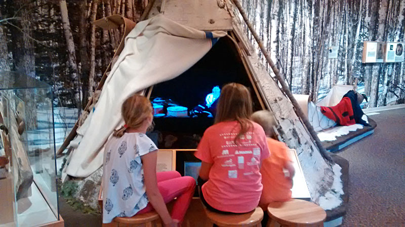
We didn’t originally plan to visit the Grand Portage Heritage Center, but we were really glad that we did. The building itself pretty impressive and the displays are all really well done. The video presentation about the history of the area and the Ojibwe culture is one of the best we have seen at a visitor center. Even the kids seemed to appreciate it.
More Information on the Grand Portage National Monument.
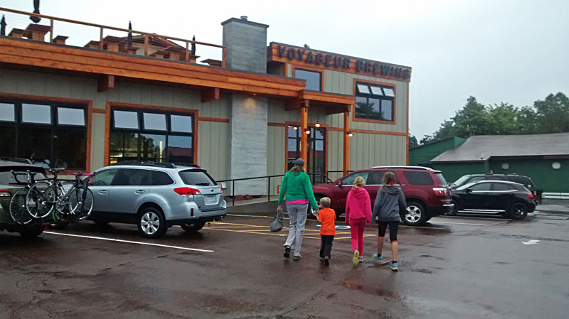
Back in Grand Marais we planned to eat dinner at Voyageur Brewing Company for our last night in town. However, after checking out the menu there were not any good options that the kids would eat.
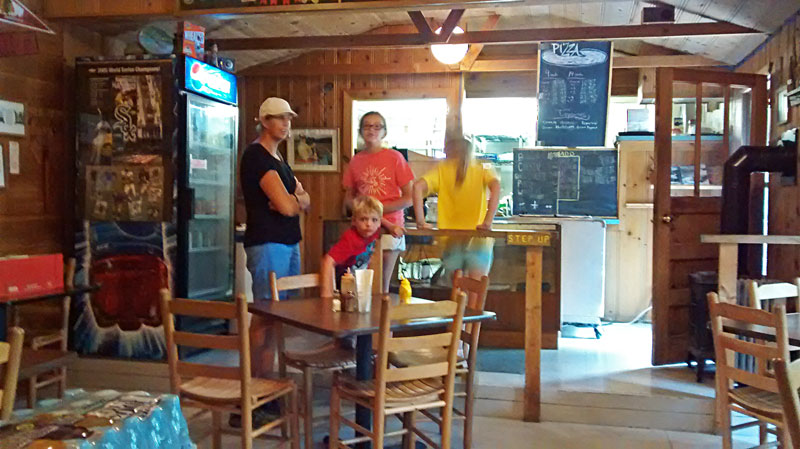
We decided to go to Sven & Ole’s Pizza instead. This place has a lot of good reviews and frankly we have no idea why. First you have to stand in line by the counter to order your pizza. Then after ordering you make your way into dinning room to wait for a table to open up. When it looks like someone is getting ready to leave it is a race to secure your spot. After finally sitting down at a dirty table we ended up having to clear it ourselves. There was one grumpy guy that was supposed to be clearing tables, but he seemed to be doing as little as possible. After waiting for at least 90 minutes our pizza finally came out and even though we were starved, we thought it was pretty average.
Check out the current reviews for Sven & Ole’s on TripAdvisor.
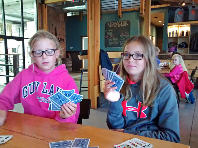
After eating we went back over to Voyageur Brewing and spent the evening playing cards in the taproom. This was more our kind of scene and was better than spending a rainy night in the camper.
One interesting thing to note is that the red canoe hanging above the entrance was used in some of the Hamm’s Beer commercials that were filmed near the end of the Gunflint Trails in the mid 1970s.
Here is one of the vintage Hamm’s commercials on YouTube.
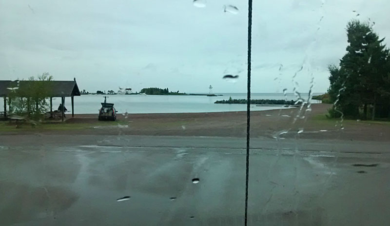
The next morning it was still raining as we packed up and left town. We didn’t have the best weather, but we enjoyed our short stay in Grand Marais and will be back again sometime. A nice little town surrounded by endless opportunities for outdoor adventures is our kind of place and we wish we could have stayed longer.
Continue along with us to our next stop at Devils Lake State Park in Wisconsin >> (coming soon)
 Our Favorites:
Packtowl Original Superabsorbent Towel
We have been using the Original Packtowls for years. They pack small, are lightweight, fast drying and will absorb 10 times their weight in water. They also have a snap loop that has always been useful for hanging them up to dry.
Our girls are still using the 2 large size towels that we bought over 10 years ago and they seem to just be getting better every time you wash them.
On our recent trip when there was a lot of cloudy and damp weather. Our Packtowls were always ready for our next shower, when normal beach towels would have stayed wet for days.
Search for Packtowls on Amazon >>
Advertising Disclosure: We may receive a commission if you click a link on our site and purchase one of the products or services that we recommend.












Asanka
Thank you for sharing.
Can you please tell me what type of Kayaks you hold.
I have two kids similar age and i need to buy Two 2 -person kayaks.
Thank you
MyMichiganTrips
Sorry I missed this question. Our tandem is a Perception Acadia II. We chose this model because it has removable jump seat for a 3rd smaller child. It worked well us when our kids were younger. Unfortunately, I do not think they make it anymore.