Camping at Munising Tourist Park and the Straits State Park – August 10 -15, 2016
We decided to spend our vacation this summer back in the Pictured Rocks National Lakeshore area. This is one of our favorite places in Michigan, but it had been a few years since our last visit. The area is still awesome and it seems that since the last time we were here, everyone else has also realized this. The area around Munising, especially, was the busiest we have ever seen it. I guess the Pure Michigan ads must be working. As a Michigan travel blogger I have mixed feelings about this. I love showing off my home State and it is good for the areas that depend on tourism, but the solitude we had in some of our favorite places seems to be a thing of the past.
We left after work on Wednesday night and drove up and over the bridge to Straits State Park for 1 night. From there we went on to the Munising Tourist Park for 4 nights. Then moved to Woodland Park in Grand Marais for the rest of the week.
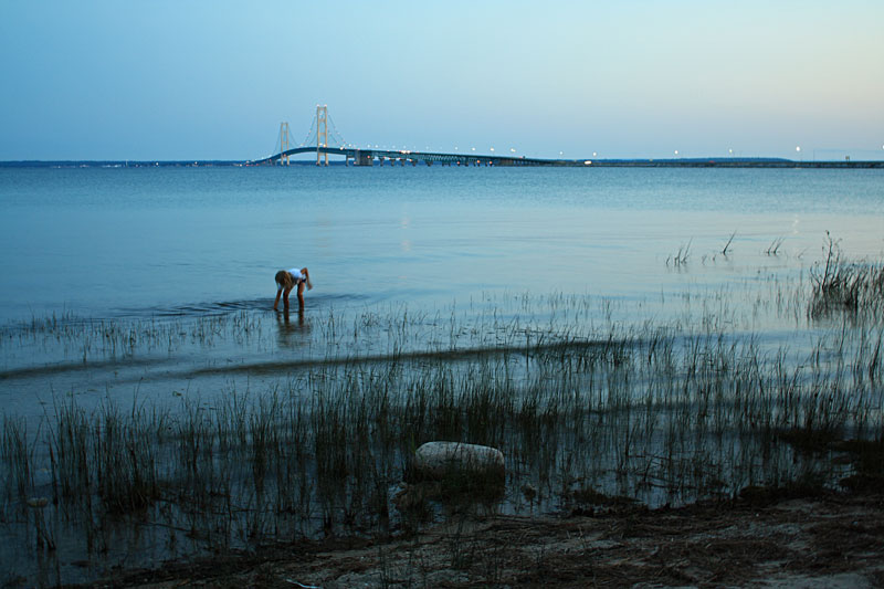
We usually can make it over the bridge in time to walk down and see the sunset. This time we were just a little later and watched the the lights come on.
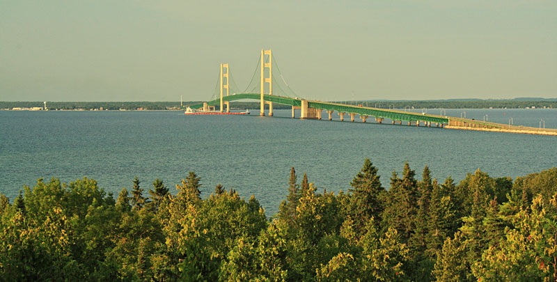
In the morning I walked to the Straits State Park Mackinaw Bridge overlook while everyone else slept in. Click the image to see the larger version.
Just as I was getting ready a walk back to the camper I saw the freighter coming in from the east. I decided to sit on a picnic table at the overlook and wait to get a shot of him going under the Mighty Mac.
It was only a couple hours to our next destination in Munising, so we took our time and made a big breakfast before hitting the road.
The Cut River Bridge
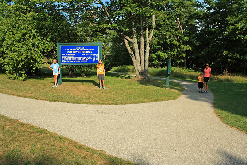
After driving about 30 minutes from St Ignace on US-2, we decided to make a stop at the Cut River Bridge. I read about hiking the trail under the bridge and down to Lake Michigan, but this was the first time we had the spare time to check it out.
There are pull-offs at both ends of the bridge. We stopped on the east end where there is also a roadside park with picnic tables, pit toilets and plenty of parking for larger vehicles.
Hiking the trail is really the only way to appreciate what an impressive structure this is. Built in 1947, it spans 641 ft and is 147 ft above Lake Michigan.
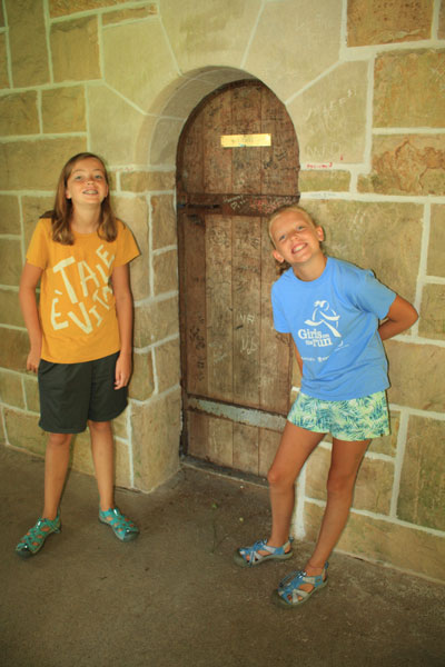
Thankfully the resident troll wasn’t home.
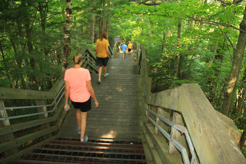
Heading down the stairs to the Cut River and Lake Michigan.
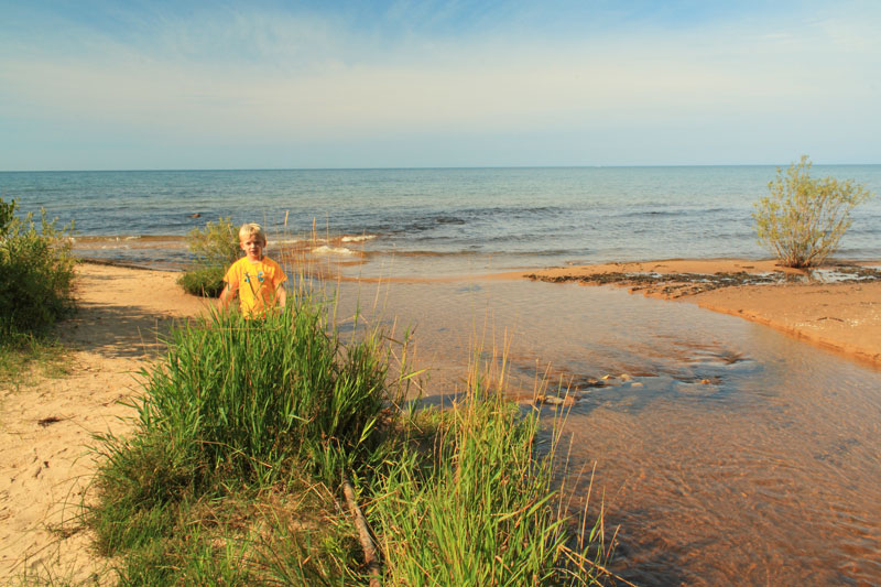
The mouth of the Cut River.
After checking out the beach we continued up stream on the East Trail.
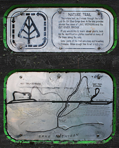
A close up of the Cut River Nature Trail Map.
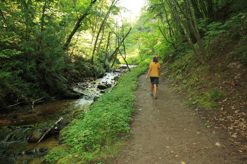
Walking the wide path along the stream.
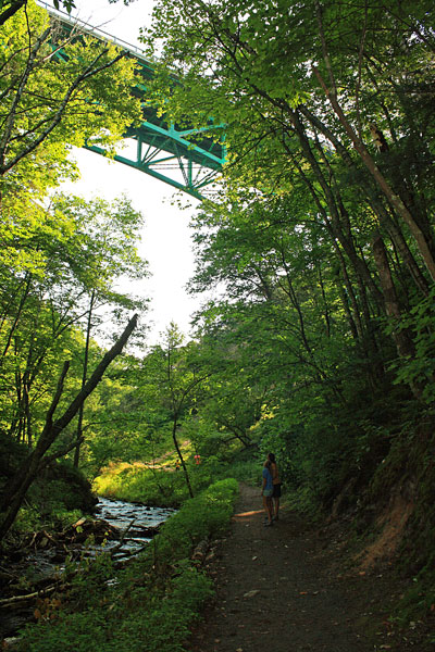
Passing back under the bridge.
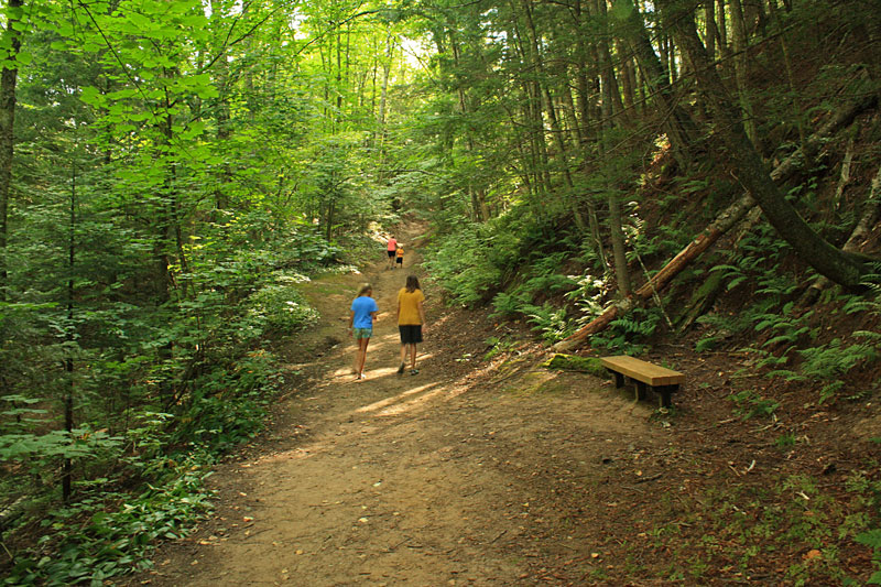
Climbing the trail back up to the parking area. We were lucky to do the loop in the clockwise direction because climbing back out of the valley on the trail was much easier than it would have been on the stairs.
Overall the Cut River Bridge a nice place to get out and stretch you legs when traveling along this section of US-2. We were glad that we finally had a chance to check it out.
Directions to the Cut River Roadside Park.
For more on this hike see: Best Hikes with Children in Michigan
Munising Tourist Park
It was about an hour and 45 minutes drive from the Cut River to the Munising Tourist Park campground. As we were driving, the clouds came in, and this would be our last time seeing the sun for the next few days.
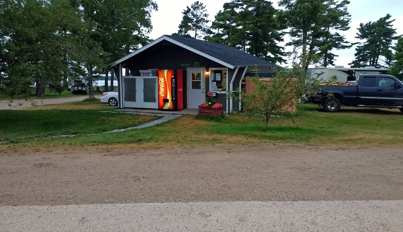
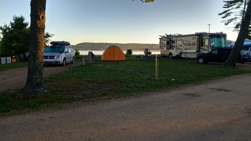
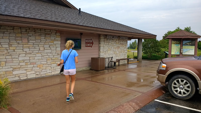
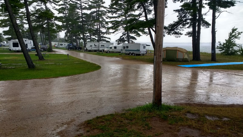
The Munising Tourist Park sits right on Lake Superior, off from M-28, between Munising and Christmas, Michigan. They have 127 campsites that are serviced by 2 fairly new modern bathhouses. 26 sites have full hookups, 78 with water and electric and the remaining 23 are walk-in rustic tent sites. The camp office (shown above) sells ice, firewood and a few miscellaneous supplies.
There are 35 modern sites and about 15 tent sites that are right on the water with nice views of Grand Island.
We usually make reservations during the winter so we can get the better sites. However, when we booked this trip, we found that they started taking reservations back in October, 2015. All the waterfront sites were already booked, so we had to settle for a big corner site a few rows back from the lake.
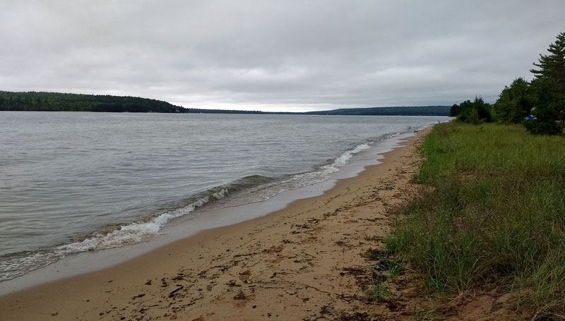
The beach was just a narrow strip of sand with about 20 to 30 feet of dune grass separating the campsites from the water. There was a small access path for us right across from the east bathhouse.
The campground is in a open grassy area, with a few shade trees near the water. With the proximity to M-28, there is a lot of traffic noise. However, the location is great and you get used the noise after the first day.
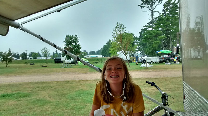
After setting up camp, it started to sprinkle while we ate lunch under the awning.
It looked like it was going to rain the rest of the afternoon and evening. After reading and relaxing in the camper, we needed to get moving, so we drove into Munising to visit the Pictured Rocks and Hiawatha Forest Visitor Center.
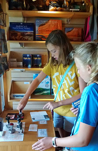
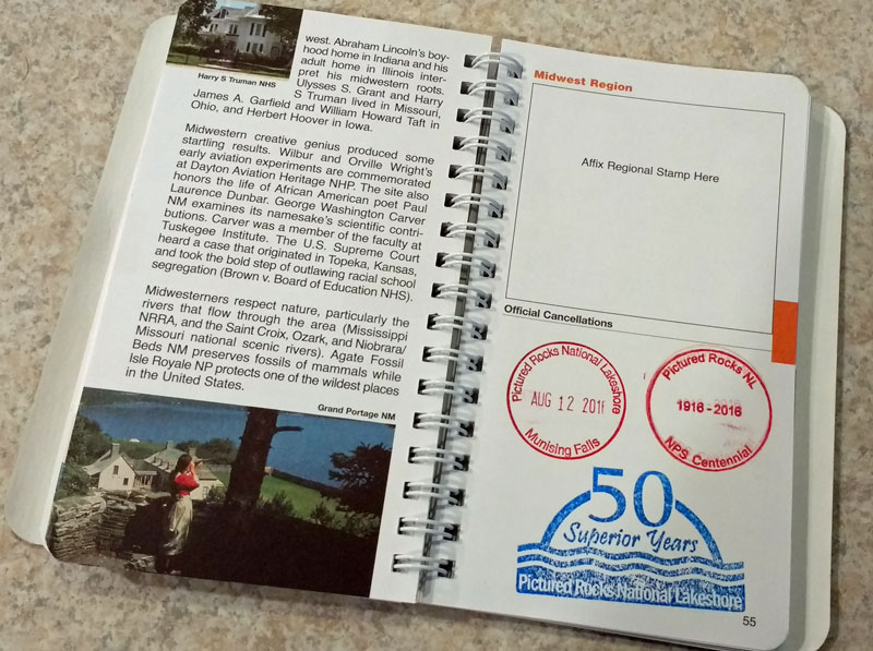
The Visitor Center is small, but they do have good informational brochures and maps of the area. There is also a gift shop area with a lot of good outdoor guidebooks. The kids bought the Centennial Edition of the National Park Passport books and started collecting their stamps. We should have started this a few years ago, but starting on the 100th anniversary of the National Park Service will also be pretty cool when they look back. It was also the 50th anniversary of Pictured Rocks National Lakeshore.
Their first cancellations with the NPS Centenial and 50 Superior Years.
The National Park Passport Books can be found at most Visitor Centers or on Amazon >>
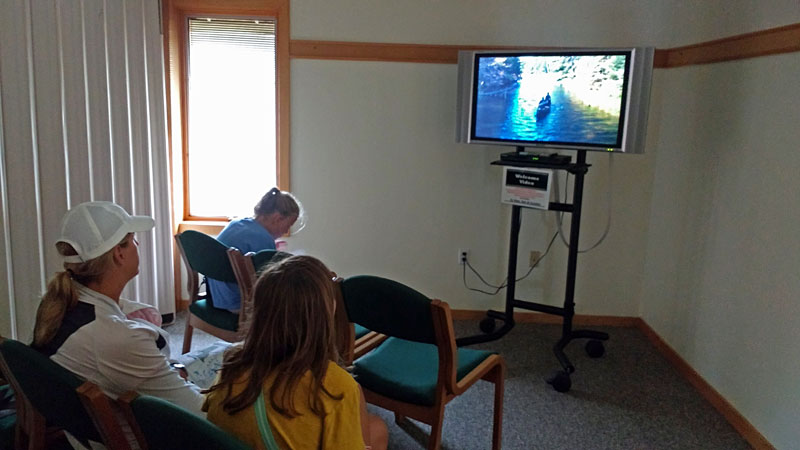
At the end of the visitor center there is small room where you can view a video about the recreational opportunities on Grand Island and the rest of the Hiawatha National Forest. We always try to watch the visitor center videos and most of them are pretty good.
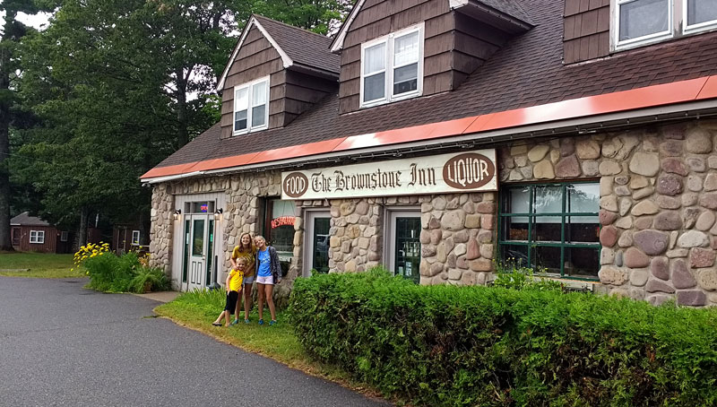
The rain continued, so it was a good excuse to go out for dinner. We have never been very impressed with the dining options in Munising so we drove back past our campground and on to the Au Train area to try the Brownstone Inn.
The restaurant is in a nice old building and the dinning area has the atmosphere you want for in a local UP establishment. We tried 2 of the different Whitefish dinners and they were pretty good, but not great. Our expectations may have been too high after reading all the excellent reviews on TripAdvisor. The fish was good, but the sides were just okay and just lukewarm at best. The kids were very happy with their chicken tenders, but the fries were also borderline under cooked. Maybe we just caught them on a bad night…
The rain continued so we had to retreat to the camper and call it an early night.
Hiking to Mosquito Falls and Mosquito Beach
The next morning was foggy with a light mist coming down. By late morning things started to improve so we headed into to town and picked up a few things that we needed from the grocery store. After this we made a quick stop at Munising Falls.
At Munising Falls there are modern restrooms and a small, but newly renovated visitor center by the parking lot. From there it is only about 800 feet on a paved path to see the scenic 50 foot high falls.
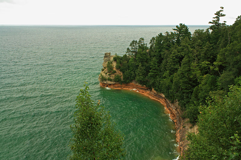
After stopping at the Falls, we headed east to make the mandatory stop at the Miner’s Castle Overlook.
It was already well past noon so we took advantage of the Miner’s Castle picnic area. There is also another small visitor center here with restrooms. All the visitor centers had unique stamps for the kids passport books. We didn’t know this, but luckily the passports were all still in the van.
After lunch it was still cloudy, but at least it looked like it was going to be a dry afternoon. We continued heading east on highway H-58 to the Miner’s and Mosquito area trailhead.
It was mid-afternoon when we arrived, and the parking area was packed and cars lined both sides of the road. After turning around and finding a place at the end of the line we had about a 1/4 mile hike just to get to the start of our hike. The parking area has been updated since the last time I was here with new pit toilets and improved trail signs. Too bad they didn’t add more parking..
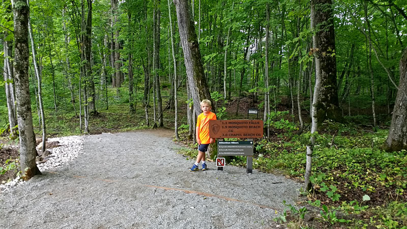
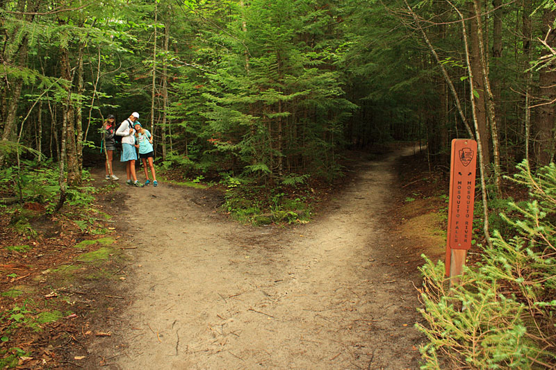
We headed down the trail towards Mosquito Falls. The trails were all well marked with new signs at all the intersections. To get to the falls, take the trail to the left heading from the parking lot and stay to the left at both of the splits.
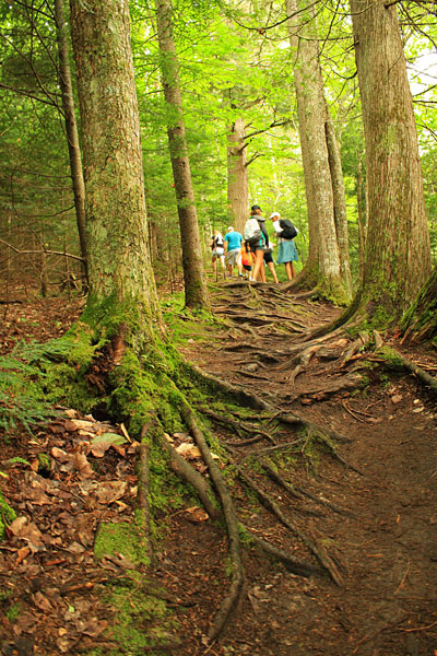
I think the 1st mile of trail out to Mosquito Falls is the roughest hiking in all of the Chapel / Mosquito area.
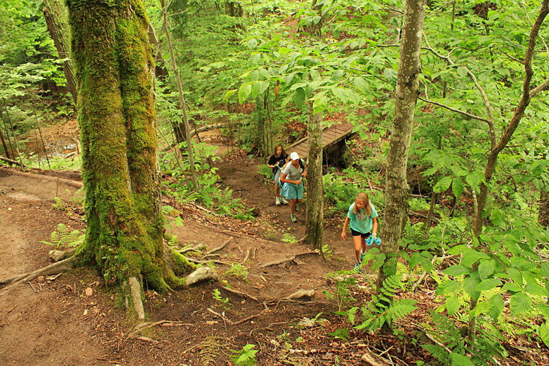
There are also a couple small hills on the way to the falls.
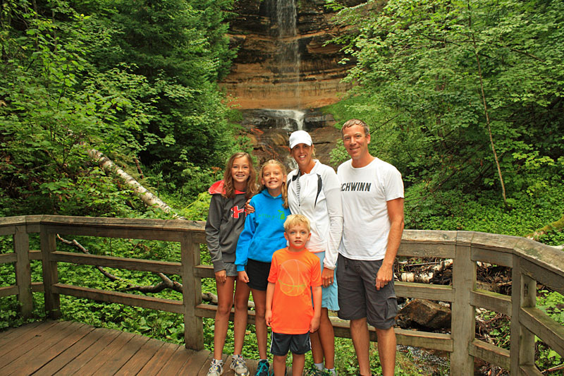
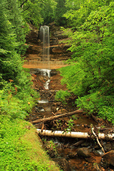
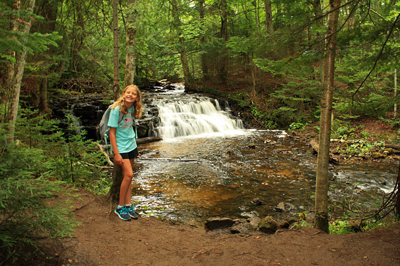
After what feels like a long mile you breakout above a cascade on the Mosquito River and then a little further up the trail you get to the best view of Mosquito Falls.
We continued on past the falls on the trail towards Mosquito Beach. After crossing the river above the falls the trail smooths out and opens up in really nice older growth forest area.
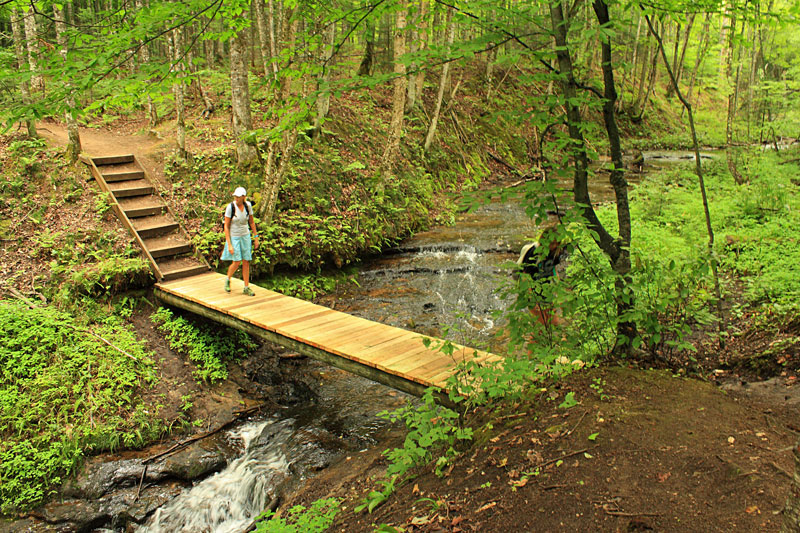
Just past the falls you cross this bridge over a small creek with a nice canyon view down stream.
At 1.6 miles from the falls you come to the Mosquito hike-in campsites. and then you break out to the beach.
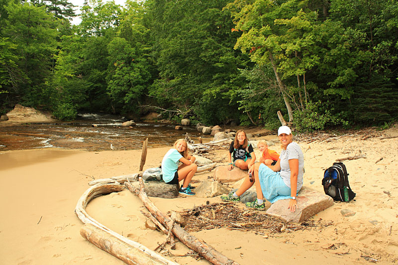
Taking a snack and water break on the rocks at the mouth of the Mosquito River.
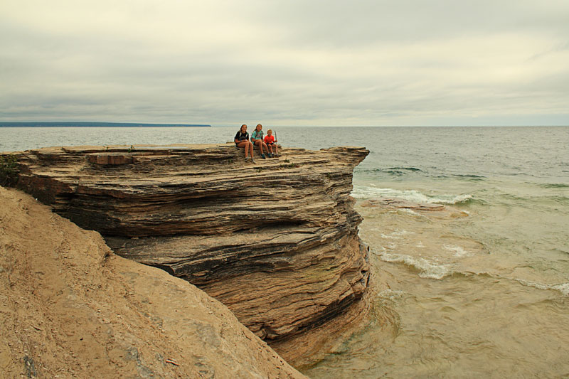
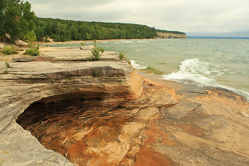
Before hiking back we checked out the interesting layered rocks to the east of Mosquito Beach.
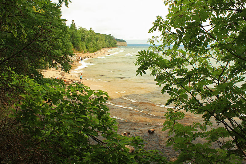
Looking back to Mosquito Beach.
It is just under 2 miles to loop back to the trailhead from Mosquito Beach.
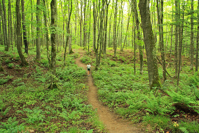
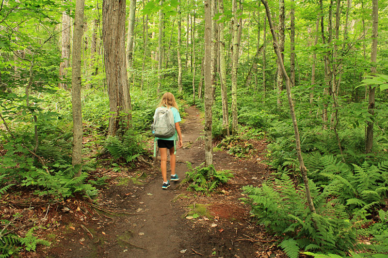
On the way back the trail was tighter with more under growth in the smaller trees. Other than having to climb through the top of downed tree it was an easy hike.
Reid keeps the spirits high when everyone was getting tired on the hike back…
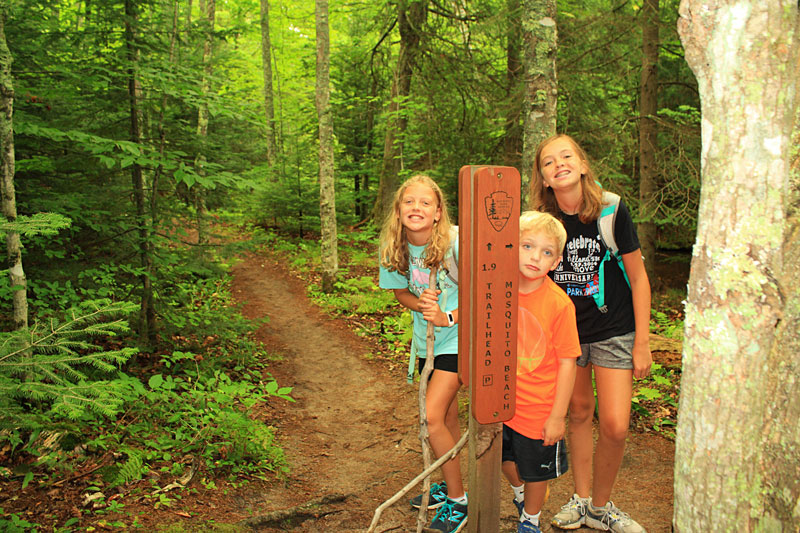
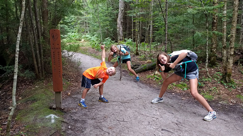
Everyone was pretty excited to find the 0.3 miles to parking trail marker. This hike was a new record for our kids.
The Chapel Basin Trail Map. If the map does not show above or to download / print click here.
The map shows the hike as a 4.6 mile lollipop loop out to Mosquito Beach and back. However, with the extra 1/4 walking on the road to where we parked and some exploring of the beach and rocks it ended up being almost a 6 mile day for us.
Directions to the Chapel Basin Trailhead >>
For more on the hiking in Pictured Rocks National Lakeshore see: Backpacking in Michigan
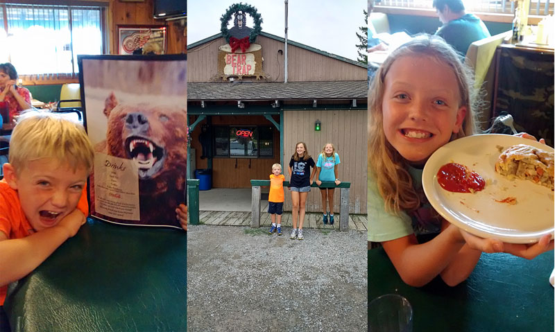
It was already getting late by the time we finished our hike and started heading back toward Munising. Everyone was starved so we swung into the Bear Trap restaurant for some pasties. The Bear Trap appears to be your typical Upper Peninsula restaurant, but they had a surprisingly large menu and everything we saw come out looked really good. Our pasties with gravy hit the spot and we all left full and happy.
More on the Bear Trap on TripAdvisor >>
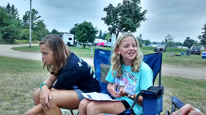
Back at the campsite we were finally able to do our first campfire of the trip.
It was foggy and misting again when we woke up and the forecast did not look promising. It was another morning of reading and relaxing in the camper and under the awning. After lunch it started raining harder. There is a bowling ally in Munising, but it was closed and would not be open until September. We decided to drive to Marquette for the afternoon and see a movie.
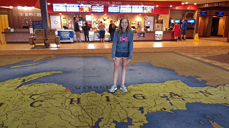
It was a little ways off the main roads, but thanks to google maps we were able to find the shiny new Marquette Cinemas. We made it just in time to watch the Secret Life of Pets Movie.
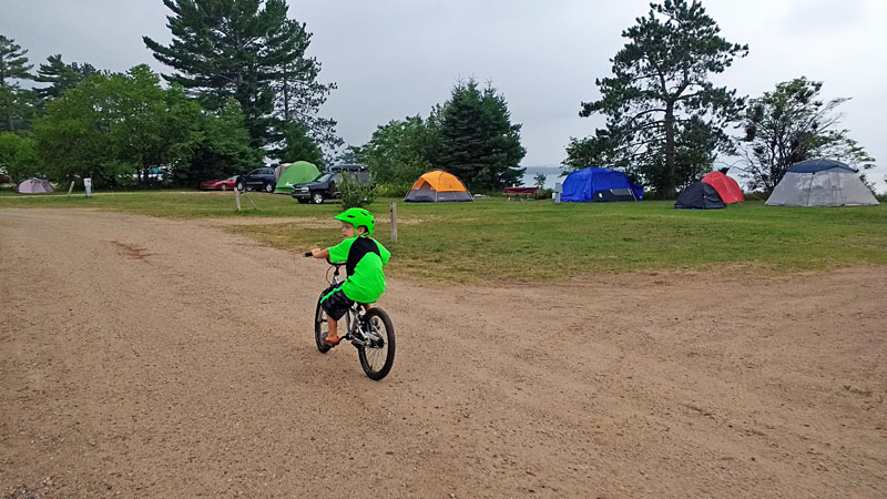
We drove through some rain on the way back from Manquette, but by the time we got back to the campground the rain cleared up and we were able to cook our diner outside and have another fire. We also made several loops around the campground on the bikes to burn some energy after a lazy day.
Hiking the Chapel Falls Loop
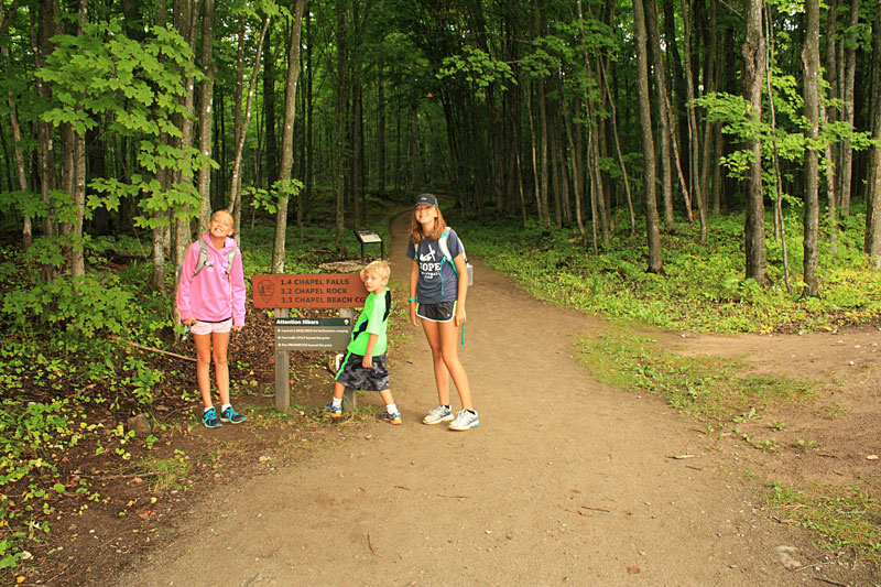
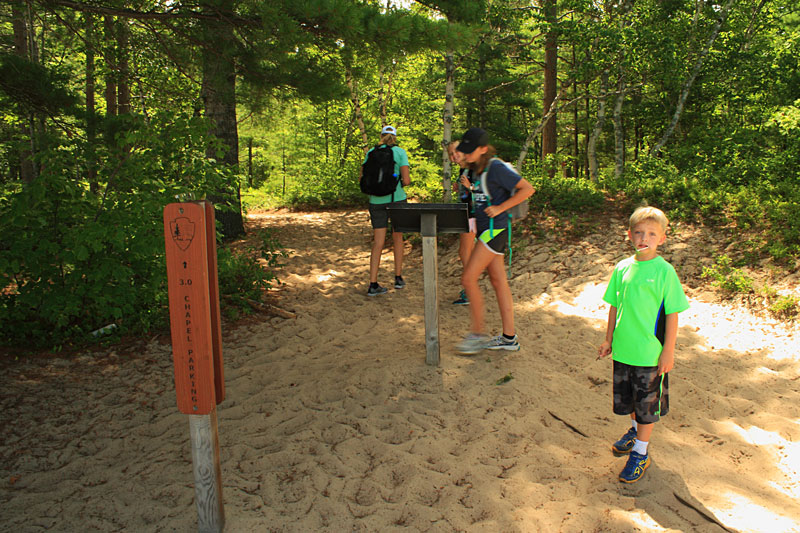
The weather looked good on Sunday so we got an early start and drove back to the Chapel Basin trailhead. Arriving at just after 9 am we were able find a spot in the parking lot this time. We planned to hike the east loop out to Chapel Falls, Chapel Beach and then back along the Chapel Lake Trail.
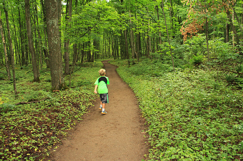
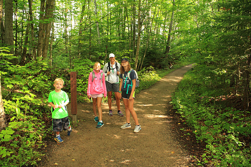
The trails out to Chapel Falls and on to Chapel beach are wide and easy walking most of the way. I think they must run on old logging road beds.
Just before the falls there is a shot spur trail that leads to an overlook for Chapel Lake. This time of the year the leaves obscured most of the view. Someone we talked to on the trail said it is a really nice view after the leaves are down in the fall.
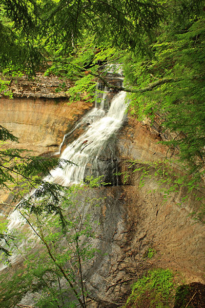
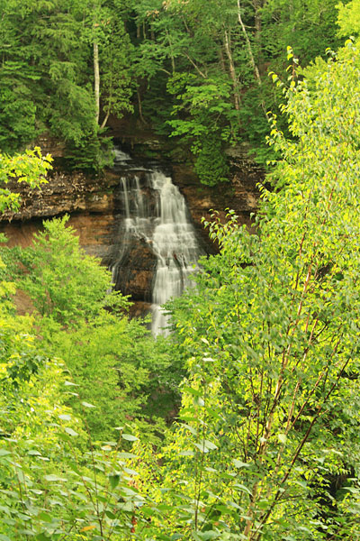
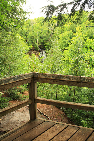
The upper viewing area for Chapel Falls is about 1.5 miles from the trailhead. At 60 feet tall, I think Chapel Falls is the tallest cascade in Pictured Rocks National Lakeshore. Although, the lower portion of the falls is partially hidden by trees from both view points so it is difficult to see how big it really is.
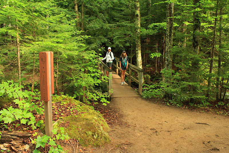
The trail continues on past the falls and then crosses the creek on the bridge shown above. From here it is another 1.5 miles to Chapel Beach.
Not too far past the bridge you come to the second overlook deck for Chapel Falls.
The first shot was taken with the zoom lens. This one gives a better perspective of the view.
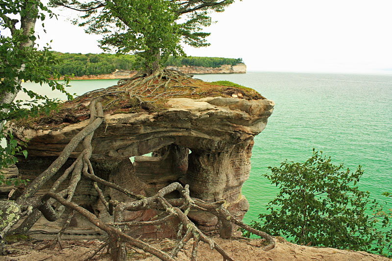
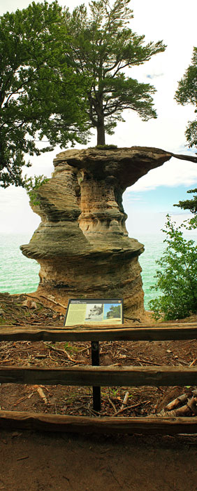
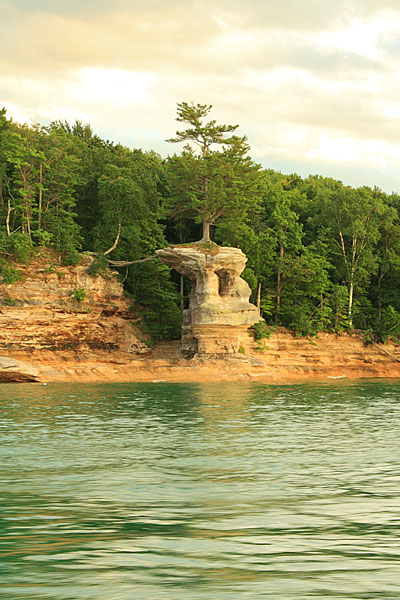
After a short tight section of trail just past the falls it opens up again and it is an easy walk until you start dropping down to Chapel Beach. At just over 3 miles from the trailhead you come to the main attraction of this hike at Chapel Rock. The White Pine that lives on the top of this rock formation is definitely one of the wonders of Michigan. The tree gets water from the roots that span the gap back to the mainland. The roots originally ran on an archway that clasped sometime in the 1940s. It is hard to fathom how this tree has survived on the unforgiving shores of Lake Superior for so long.
Looking up from the base of Chapel Rock.
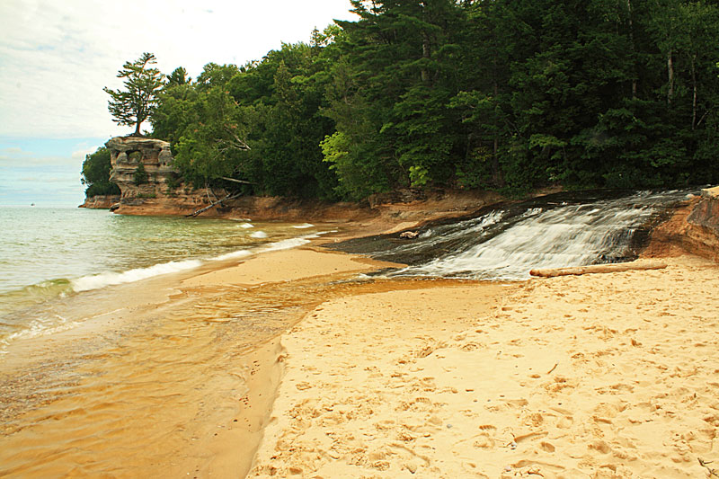
After viewing Chapel Rock, the trail continues on a foot bridge over Chapel Creek and along Chapel Beach.
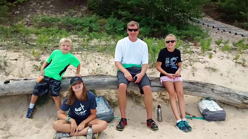
There are a couple access points with log stairs down to Chapel Beach. We took the first one and found a nice seat for our lunch break.
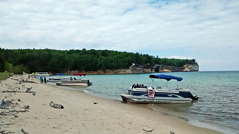
While we were eating things started to get crazy…and by the time we were done there were 5 power boats beached to the east and 4 pontoons to the west of us. Dogs were barking, kids were yelling and someone was even trying to climb up into Chapel Rock. Definitely not what we were expecting to find way out here. The last time I was here I only saw 2 other backpackers on the beach.
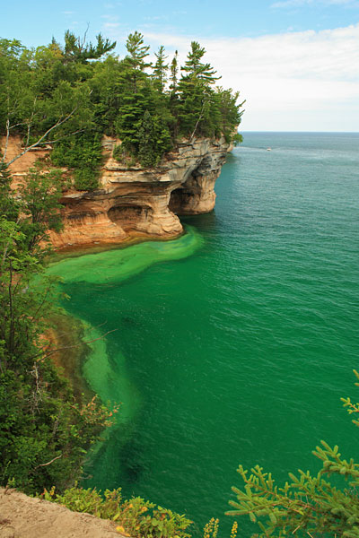
Before heading back we did a short hike on the Lakeshore Trail to see a couple of the overlooks.
Back at Chapel Beach we used the pit toilets in the backpacker campground then set out on the 3 mile trail back to the parking area.
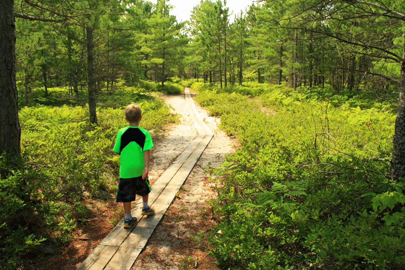
The trail starts out through a warm and sandy pines section.
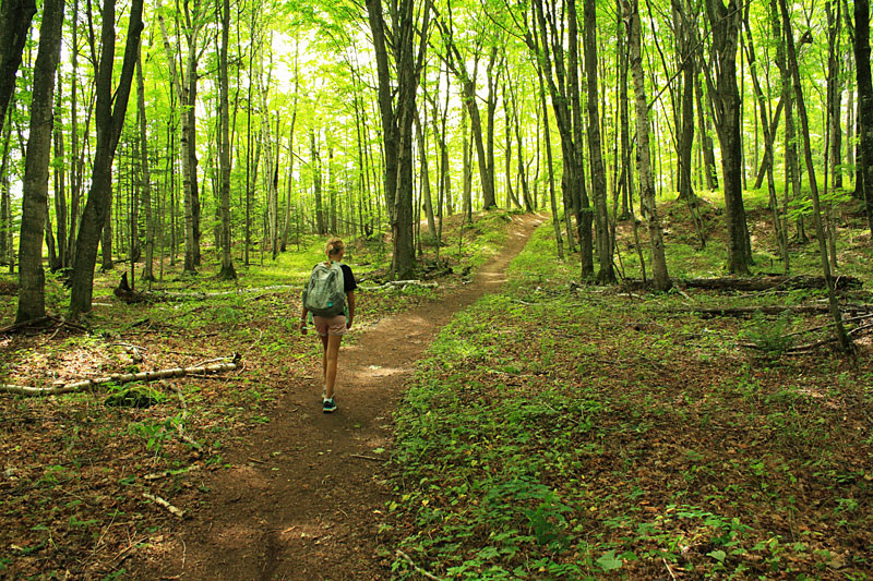
The tail soon firms up as you transition back to the familiar older growth hardwoods.
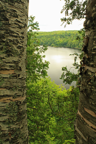
About 1.5 miles from the beach, you get a view from high above Chapel Lake. From here it is an easy 1.3 miles back to the parking area.
Looking at the distances on the Chapel Basin Day Hike Map, this is a 6.5 mile loop. However, when you add in our out and back on the Lakeshore Trail, our kids set another new record with an 8.1 mile day.
For the trail map see our Mosquito Falls hike above or click here.
Directions to the Chapel Basin Trailhead >>
See more about the Chapel Falls and Beach Loop in: Explorer’s Guide 50 Hikes in Michigan’s Upper Peninsula: Walks, Hikes & Backpacks from Ironwood to St. Ignace (Explorer’s 50 Hikes)
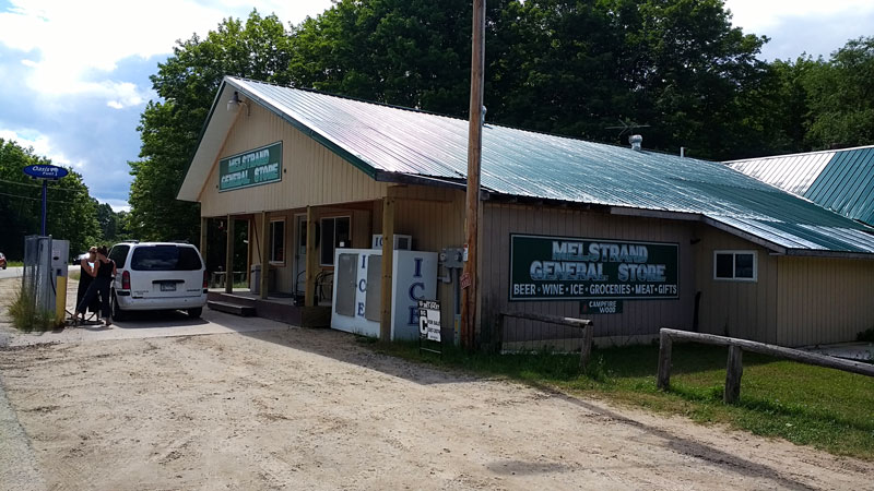
Just after getting back on highway H-58 we pulled into the Melstrand General Store to get some cold drinks for the 25 minute drive back to Munising.
We thought that the weather had finally turned, but just as we were going to go to the showers a thunder storm came through the campground. We were glad we got an early start and finished the hike in before the storms went through.
Pictured Rocks Boat Cruise
After the storm went through the radar looked clear and the sun came back out. It had already been a big day, but we decided to take advantage of the break in the weather to go on the Pictured Rocks Sunset Boat Cruise. This was the year for us to go because it was the last time our oldest could get the $10 children’s rate and it was also the last time our youngest would make the $1 rate for 5 and under. It is $38 for the adult tickets, so we still had to almost drop a Benjamin to get the whole family on board.
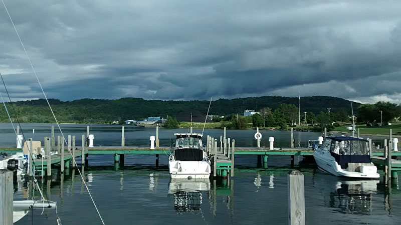
We bought our tickets and then headed outside to get in the line on the Munising dock. While we waited we wondered if we had made a bad choice, because dark clouds kept building behind us to the south. However, It ended up being fine. We had mostly cloudy skies for the first half of the cruise, but they started to break up near the turn around giving us some spectacular colors on the way back.
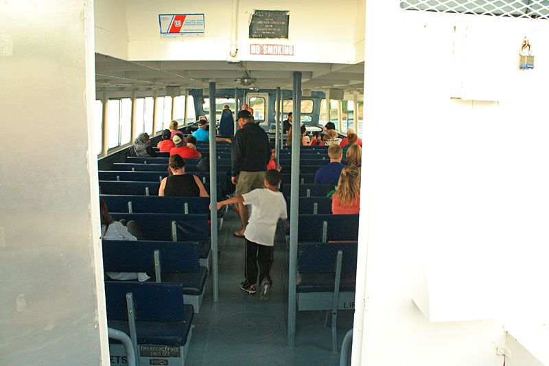
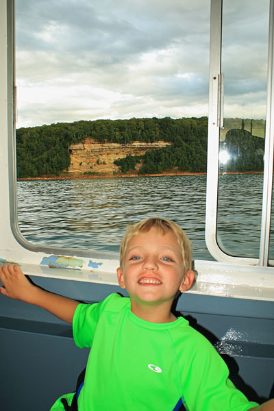
We arrived at the dock about 40 minutes before the scheduled departure and still ended up about 1/2 way back in the big line of people waiting to get on the boat. When it was our turn to broad the top deck was mostly full except for some seats way in the middle. We tried these but it was hard for the kids to see over the tall rails so we made our way down below and got some window seats. The view from the lower deck was still very good and I think it was better for the kids.
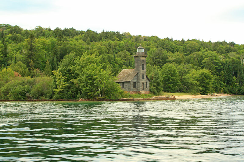
The first attraction as you are leaving the Munising Harbor is the East Channel Lighthouse on Grand Island. The East Channel Light was in service from 1868 to 1910.
By the late 90s the lighthouse was in pretty bad shape: “The Munising News wrote, “It is anyone’s guess what will bring the East Channel Lighthouse down first, the rotting timbers, or the lake’s erosion. Both problems need to be addressed very soon, or there may not be a building to save.” Finally, in 1999, the Alger County Historical Society formed the East Channel Lighthouse Rescue Committee to try to save the building from neglect and erosion. The committee’s goal wasn’t to restore the lighthouse to the period when it was staffed and painted white, but rather to stabilize it and maintain its now cherished rustic appearance.” Read more of this story at lighhousefriends.com.
It is still a couple miles past the lighthouse before the Pictured Rocks cliffs start.
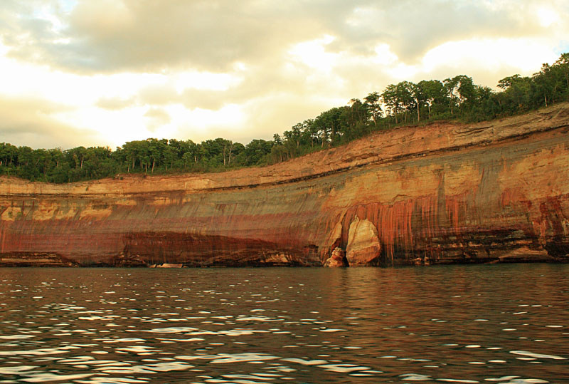
After cruising past Miner’s Castle and the mile long Miner’s Beach you get into some of the most colorful sections of the Pictured Rocks Cliffs.
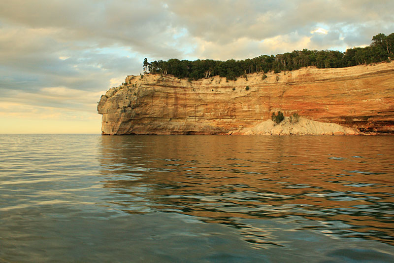
Nearing Indian Head Point.
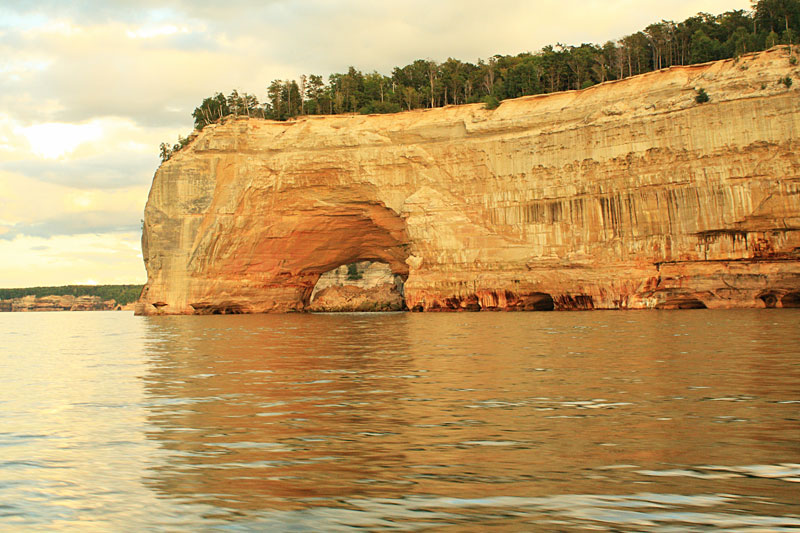
Grand Portal Point.
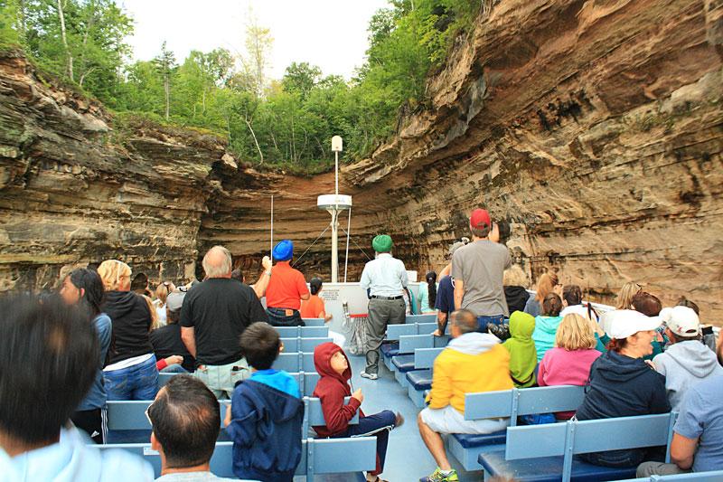
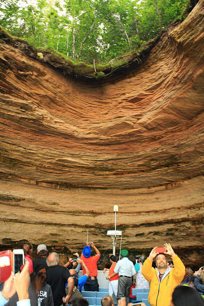
One of the really cool things on the classic Pictured Rocks Cruise Boat is that on calm days they can pull the smaller boat right into Chapel Cove.
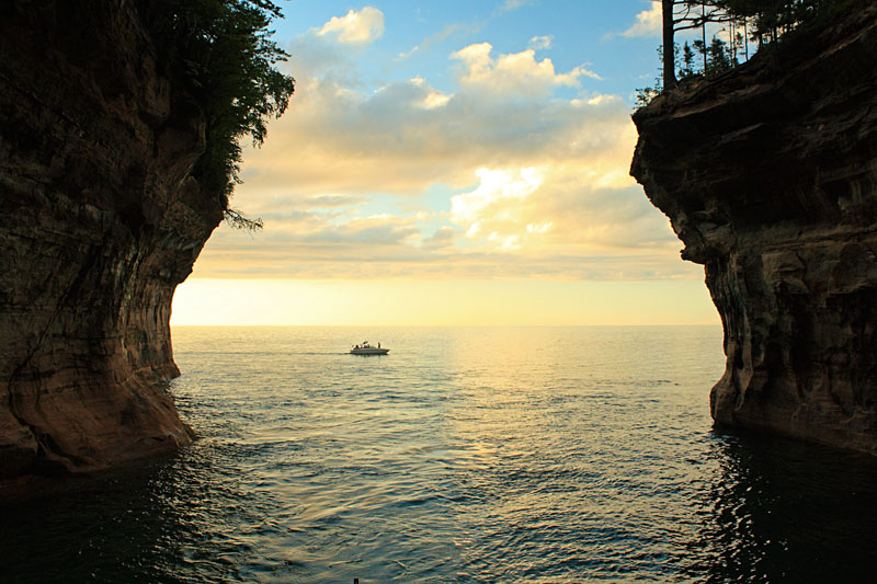
Looking form the back of the boat out of Chapel Cove.
It is pretty impressive how far the captain gets the boat under the overhanging rock walls.
Just past Chapel Cove there is a short section of beach and then Chapel Rock. After hiking to Chapel Rock in the morning it was nice see it again from the water. This is also where the standard cruise turns around and heads back.
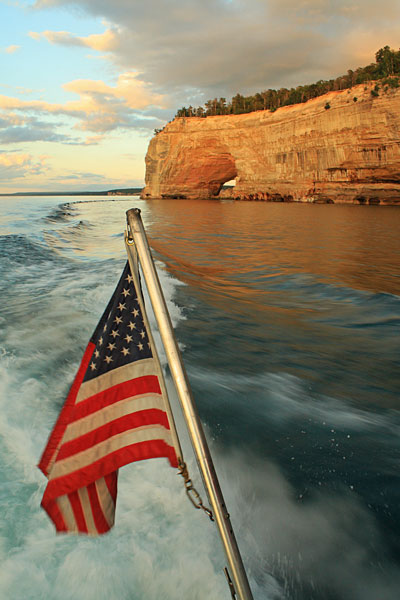
The sun started to break out beneath the clouds as we rounded Grand Portal Point again.
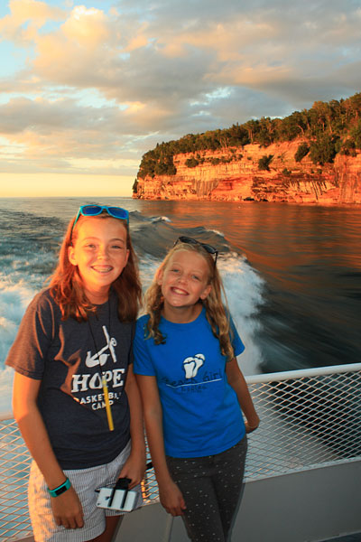
The girls out on the back deck.
You are free to move around so we split the time between our seats and standing out on the back deck of the boat.
The cliffs really lit up as we headed back towards Munising.
Make sure to click the image to see the larger version.
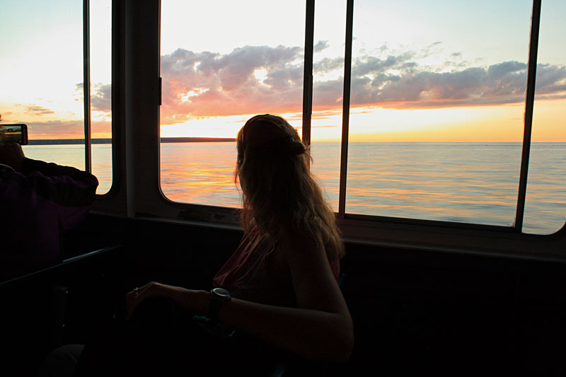
The sun setting over Grand Island.
It was the perfect end to a big day in Pictured Rocks and our stay in Munising. By the time we got back to the docks it was dark and everyone was worn out from the full day of activities.
The Pictured Rocks Cruises are a little pricey, but worth every penny. You should get out and do it at least once. We went on the afternoon cruise about 15 years ago and that was really nice, but we think the sunset tour is definitely the way to go. I usually like to stay away from the touristy type stuff, but this is one that we will do again sometime.
More Information at: www.picturedrocks.com
Since the weather was not the best for most of our time in Munising, we considered staying for another night. However, there were not any campsites available, so we stuck with our original plan and moved on to Grand Marais in the morning. Biking the trail around Grand Island will have to stay on my Michigan bucket list for another visit.
Continue on with us to our next stop in Grand Marais, Michigan >>
The prAna Zion Stretch are without a doubt the best shorts I have ever owned. I already have 3 colors and now that they started making them in black, I will soon be up to 4. I originally bought them for hiking, but now I wear them for just about everything. Add a liner short and they become the perfect baggy mountain biking shorts. Need something to wear into town for dinner? No problem.
Find prAna Zion Stretch Shorts on Amazon >>
Advertising Disclosure: We may receive a commission if you click a link on our site and purchase one of the products or services that we recommend.











Leave a Reply