Hiking at Saugatuck Harbor Natural Area – February 19, 2017
It was a rare Sunday afternoon in the middle of February with mostly sunny skies and temperatures up into the mid 50s. As you will see from our photos it was fairly mild winter. There was still some ice on Lake Michigan, but no snow on the ground. We also had a very cloudy start to 2017 with only 11% of the possible sunshine in West Michigan. We were excited to take a drive and get out and enjoy the break in the cloudy weather. Our destination was the Saugatuck Harbor Natural Area.
Saugatuck Harbor Natural Area has only been protected since 2009. Here is the history of this area from the Land Conservancy of West Michigan website: ”
This area has historic significance as the site of the original mouth of the Kalamazoo River. In 1906, the present channel was constructed and blowing sand closed the original river mouth, creating the Oxbow Lagoon. Visitors can still see the old pilings from the original river opening extending out into Lake Michigan.
A fishing settlement known as Fishtown was located on the north side of what is now the Oxbow Lagoon. The site was abandoned when the original mouth drifted closed soon after the opening of the present channel.
For much of the 20th century, this area was in private ownership and was not open to the public.
Due to the natural and historic significance, the Land Conservancy partnered with the City of Saugatuck to permanently protect this treasured natural area. In December 2011, Saugatuck Harbor Natural Area transferred to Saugatuck to become a city park.
For the first time in a century, this area opened to all members of the public for hiking and the enjoyment of its outstanding scenic and natural features. Grants from the Michigan Natural Resources Trust Fund and the Coastal & Estuarine Land Conservation Program, along with generous donations from more than 600 private donors were crucial in achieving this goal.”
The Natural Area is accessed from Saugatuck’s Oval Beach. From Memorial Day to Labor Day there is an entry fee of $8 per vehicle. The in season amenities at Oval Beach include restrooms, picnic tables, grills and a food concession. Although, this hike is probably best enjoyed in the off season because this is a very busy place in the summer. Oval Beach was ranked as a top 25 beach in the world by Conde’ Nast Traveler and one of the top fresh water beaches in the United States by National Geographic Traveler.
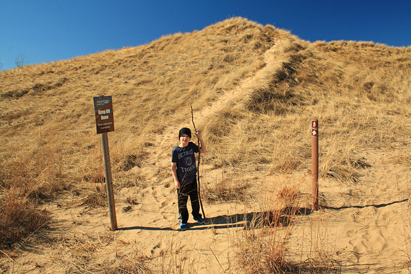
At the north end of the beach area you will find the sign above at the start of the Saugatuck Harbor Natiural Area. The Natural Area protects 173 acres between Oval Beach and the Kalamazoo River.
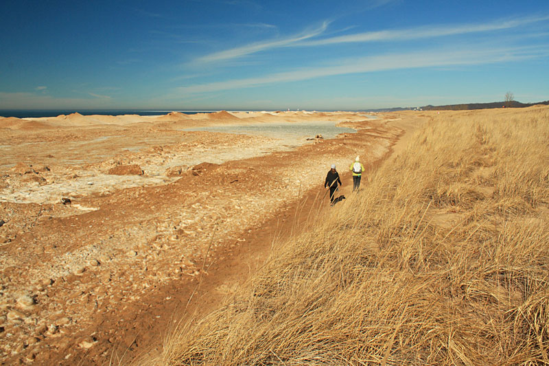
The hike starts by walking north along the beach.
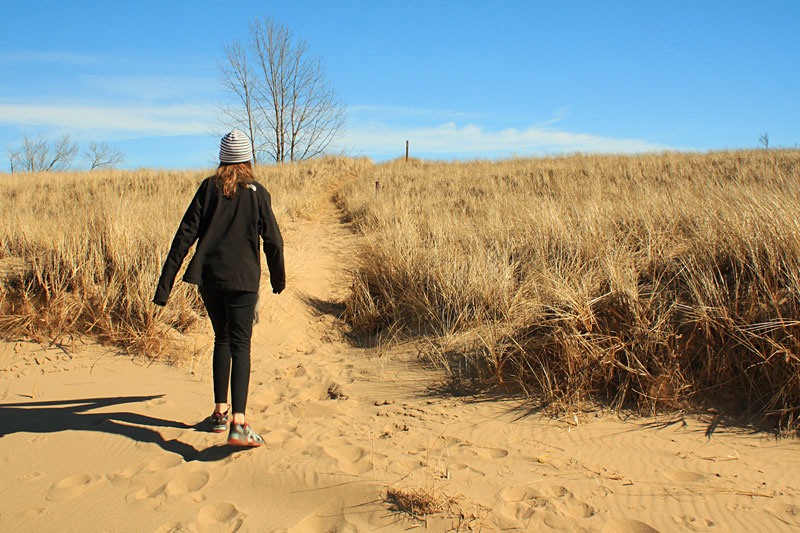
After about 0.4 miles watch for a trail heading up through the beach grass and brown posts up on the foredune. This is the start of the 2.5 mile trail system that takes you into the interior of the Saugatuck Harbor Natural Area and along the Kalamazoo River.
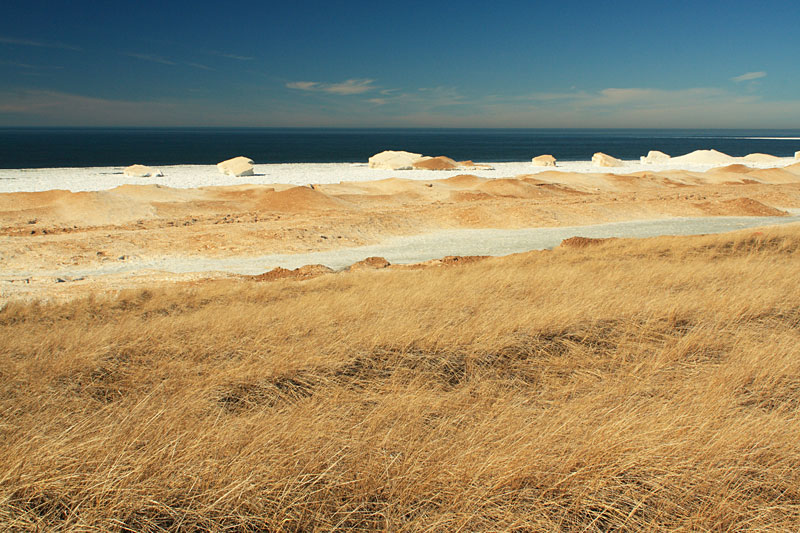
Looking back out to Lake Michigan from the top of the first dune.
We had a little trouble figuring out which way to go by this sand pit behind the first hill.
Just past the sand bowl we saw our intended route running through the dune grass to the south.
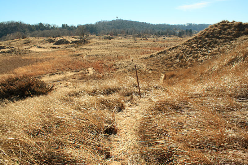
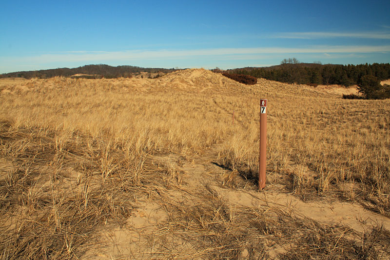
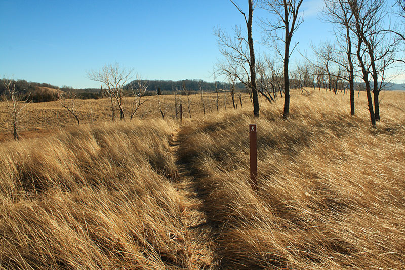
The trails are well marked with brown posts and arrows.
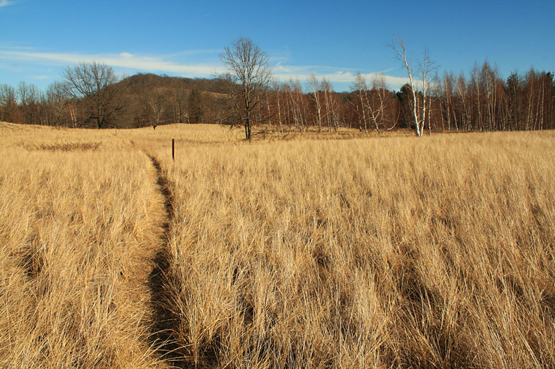
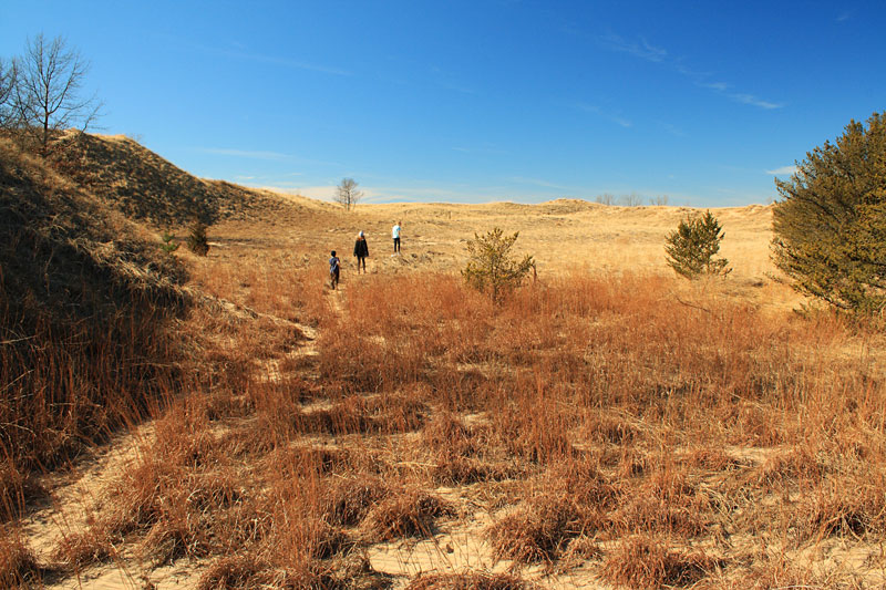
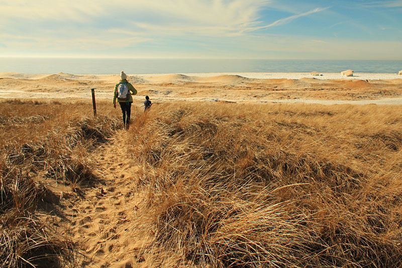
The trail turns to the east as we hiked further into the Natural Area on the trail carpeted with dune grass.
As you can see above the trails do not appear to get too much traffic. I would recommend wearing pants because the beach grass can have sharp edges.
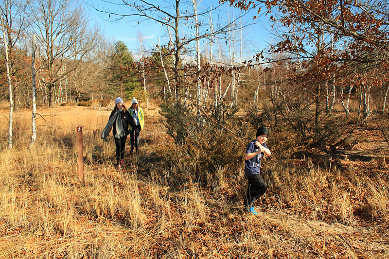
At the next intersection we turned right on to the 0.34 mile lollipop loop at marker #8. We thought that there must be something to see out at the end of the loop, but all we found was a little used trail through an area that was a lightly wooded. There were enough trail markers to keep us on track, but no other foot prints on this section of trail.
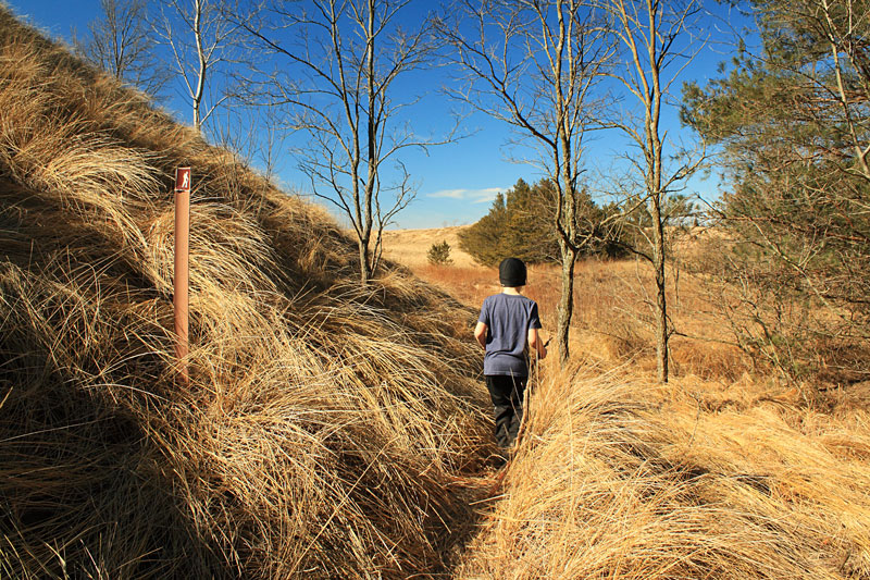
Back on the main trail we started angling northwest between a birch forest and a ridge.
Breaking back out into the open dunes.
At intersection #7 we stayed to the right and headed toward the Kalamazoo River.
To the left is a cut back that leads back to the start of the trails in 0.15 miles.
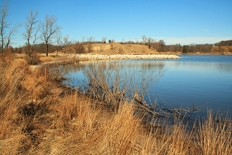
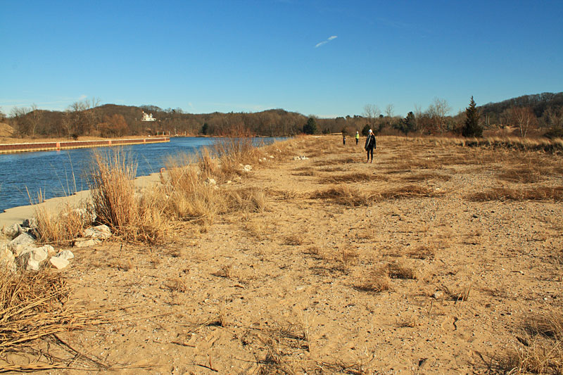
About 0.3 miles from the #7 marker you get to the cove area on the river.
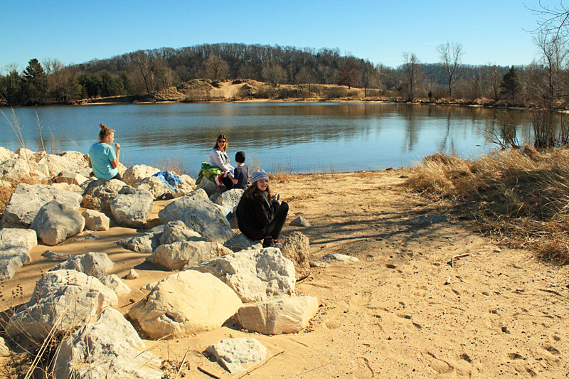
Taking a short break on the rocks at the start of the channel.
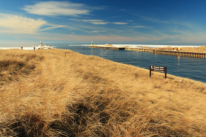
After the break we followed the channel back out towards Lake Michigan.
It is another 0.3 miles back to the beach. We decided to stay off the pier because it was still covered in ice.
From here you can either walk the beach back or follow the trail that runs along the top of the first dune ridge.
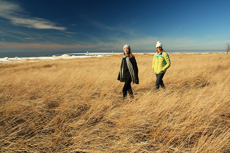
We opted for the tail and the better views.
About a 0.5 mile from the pier you pass the sand pit area again and then you are back to the start of the trails. From here you retrace your steps on the beach back to the parking area at Oval Beach.

Our route followed the trail markers in this order: 1, 2, 8, 7, 6, 5, 4, 3, 2 and back to 1. It was a nice 3 mile hike that we would recommend checking out. We took our time and enjoyed the nice day. Our moving time was about 1 hour and 15 minutes, but we spent over 2 hours in the natural area and checking out the ice formations along Lake Michigan.
This hike is best done in early spring or late fall when it is not too warm. There is very little shade and it can heat up quickly in the open dunes. Long pants are probably the best choice for walking through all the dune grass. During warmer weather it would be a good idea to spray your feet and legs with bug spray that is at least 20% DEET
and check your self for ticks after the hike. We did not notice any on our visit, but in the past I did pick up a tick from the dune grass at a nearby location in West Michigan.
Our Favorites:
Backpacking in Michigan has always been one of my favorite Michigan guidebooks. It highlights 50 trails that range from an easy overnight at the hike-in sites at Ludington State Park to a week long adventure on Isle Royale. I have read it cover to cover at least a couple times and have found that it is also a good resource for planning shorter day hikes on portions of the the trails.
Like all of the books written by Mr. DuFresne, there are well written trail descriptions and nice maps of each outing. This book also includes 65 photos.
Find Backpacking in Michigan on Amazon >>
Advertising Disclosure: We may receive a commission if you click a link on our site and purchase one of the products or services that we recommend.




Leave a Reply