Hiking to Spray Falls – August 4, 2011
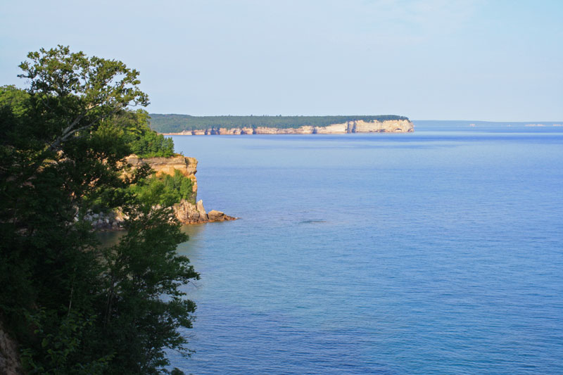
Spray Falls is the most remote waterfall in Pictured Rocks National Lakeshore. I think it is also the most impressive as it drops from the top of the cliffs right into the blue water of Lake Superior. The best place to view the falls is from an outcrop about 0.2 miles east on the Lakeshore Trail. On a clear day you also have a nice view of Grand Portal Point 2.5 miles to the west. To see the falls on foot it is 4.1 mile hike from the Little Beaver Lake trailhead or 4.7 miles from the Chapel Basin trailhead. If you have your own boat it is a 16 mile trip one way from the Munising Harbor that is exposed with no safe harbors if the weather turns bad. The regular Pictured Rocks Boat Cruise turns around short just the falls, but they do offer an extended Spray Falls Cruise in the late afternoon.
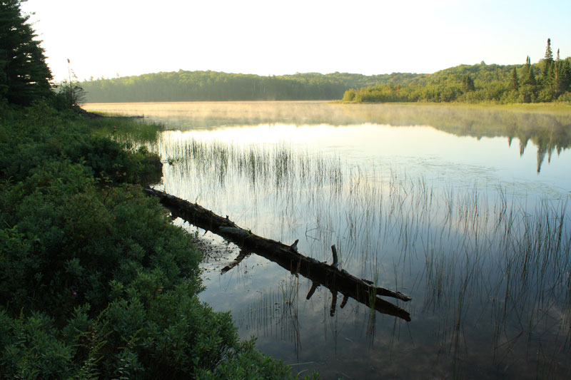
I started my hike at the Beaver Basin Trailhead. About 1 mile into the hike you come to a nice view of Little Beaver Lake.
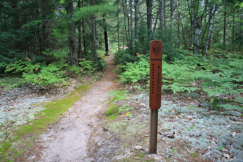
Just after Little Beaver Lake you enter the Beaver Basin Wilderness. This wilderness area was created in 2009 and protects 11,740 acres from future development. It also includes 13 miles of Lake Superior shoreline from Spray Falls to Sevenmile Creek.
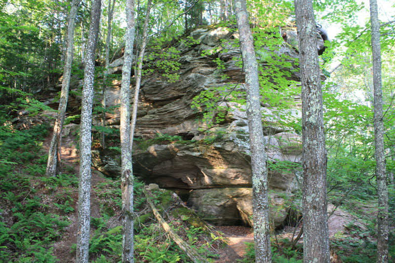
Inland rock formations along the trail.
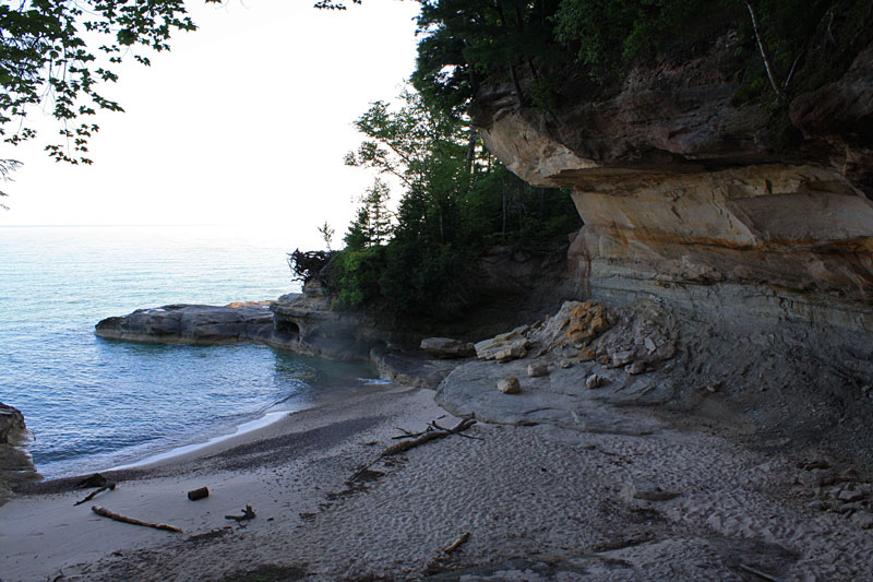
In 0.6 miles from Little Beaver Lake you reach the junction with the Lakeshore Trail. Then in about another mile you reach the unique Pictured Rocks Coves Area. The Coves hike-in campground is also nearby if you wanted to turn this hike into an easy overnight outing.
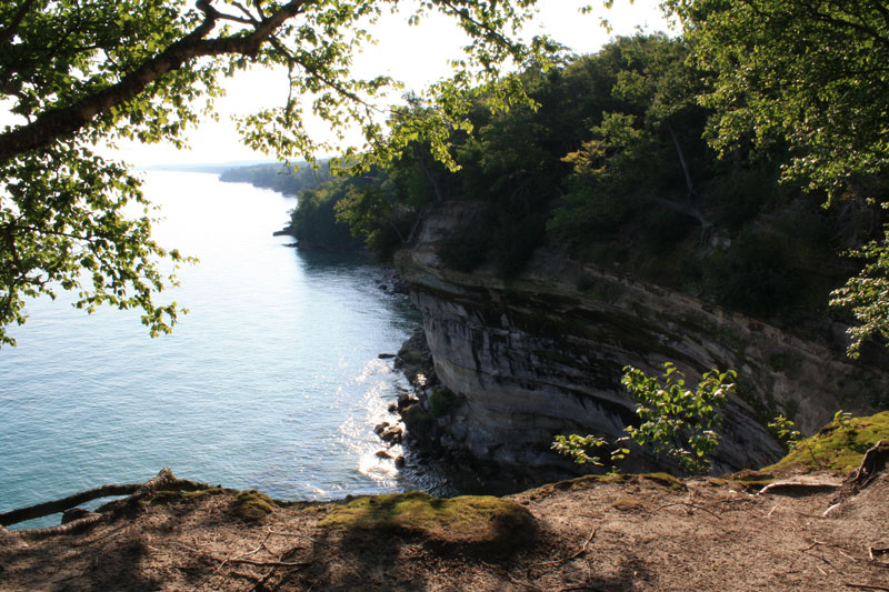
After the Coves Area you start climbing up on the cliffs. This is looking back east.
A little further down the trail Grand Portal Point come into view on the horizon.
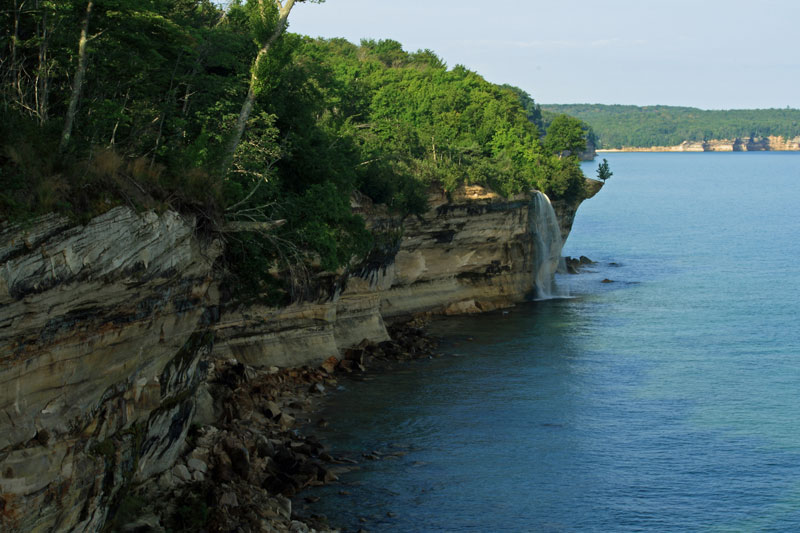
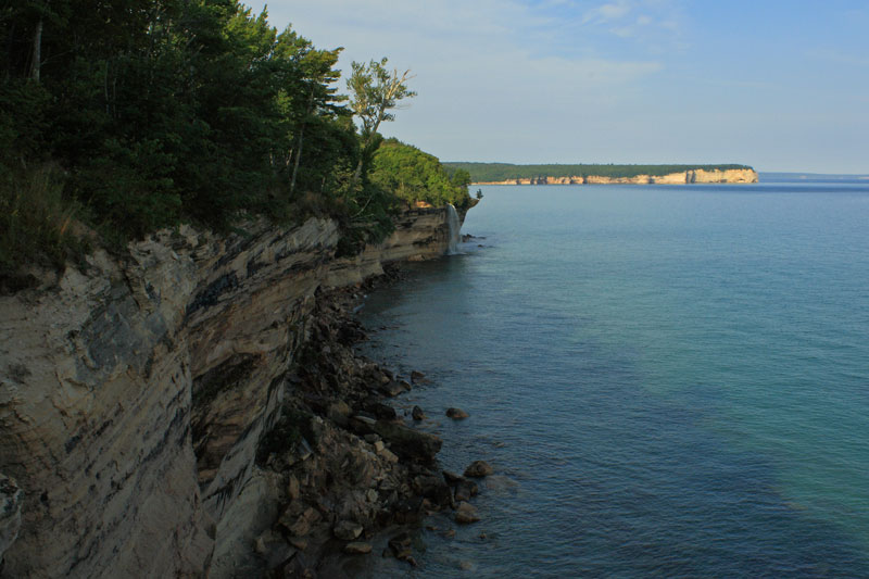
Just under 4 miles from the trailhead you come to the Spray Falls Overlook. The water cascades off the edge of the cliffs into Lake Superior 70 feet below. According to gowaterfalling.com in the spring or after heavy rain there is a small companion falls just to the east of Spray Falls.
A wider view of Spray Falls and the morning sun hitting Grand Portal Point.
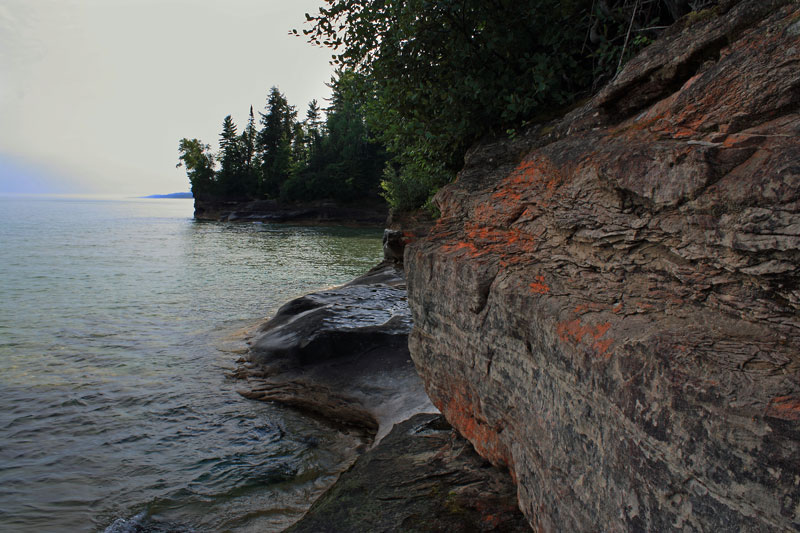
On the way back I dropped down off the Lakeshore Trail to check out more of the coves area.
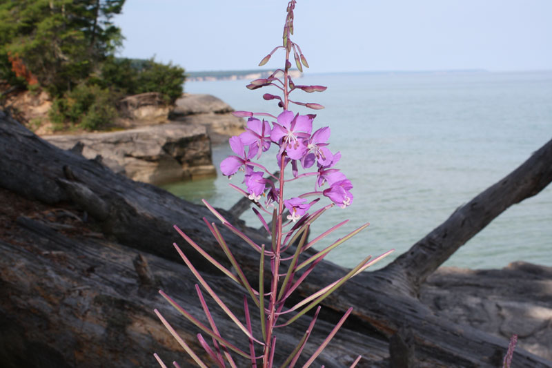
Playing with the depth of focus on my new camera.
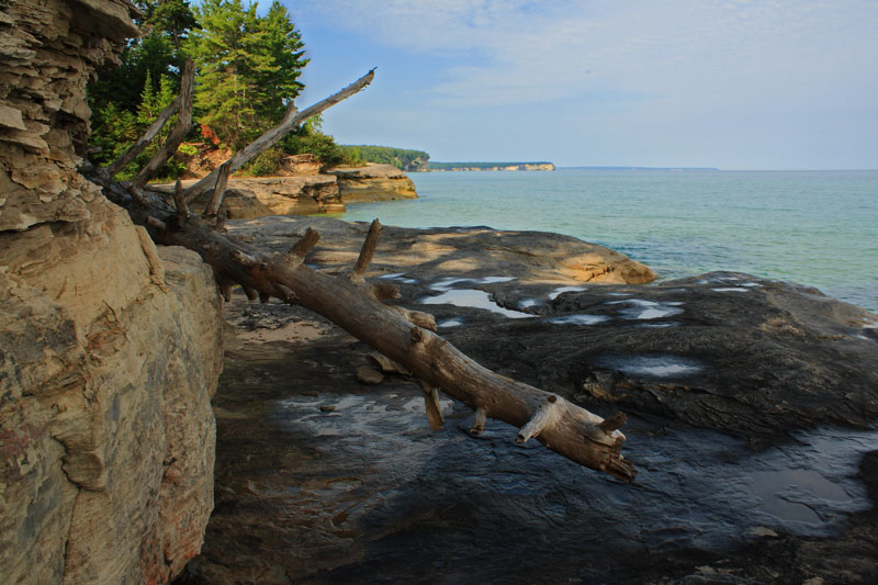
One more from down in the Coves. After this it was back to the trailhead.
The Beaver Basin Trail Map. *scroll down*
If forgot to track my exact time on this hike, but looking at times on my photos it took about 3 hours to do the 8 mile out and back hike. It was great morning for a hike and this is one my favorite day hikes in Michigan.
Directions to the Little Beaver Lake trailhead >>
For more on hiking the Lakeshore Trail in Pictured Rocks: Backpacking in Michigan
Our Favorites: 
prAna Zion Stretch Shorts
The prAna Zion Stretch shorts are without a doubt the best shorts I have ever owned. I already have 3 colors and now that they started making them in black, I will soon be up to 4. I originally bought them for hiking, but now I wear them for just about everything. Add a liner short and they become the perfect baggy mountain biking shorts. Need something to wear into town for dinner? No problem.
Find prAna Zion Stretch Shorts on Amazon >>
Advertising Disclosure: We may receive a commission if you click a link on our site and purchase one of the products or services that we recommend.



Leave a Reply